The delivery method for Jeppesen NavData products has changed a lot in five decades. [Courtesy: Jeppesen/Boeing]
Key Takeaways:
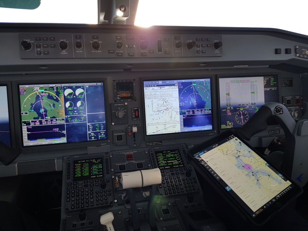
Jeppesen NavData is celebrating its 50th anniversary of commercial operation, with an estimated 90 percent of aircraft globally relying on its navigation data.
The company's origins date back to Captain Elrey Jeppesen's handwritten flight notes in the 1930s, evolving into a digital navigation system first commercially utilized in 1973.
Over 1,000 experts process and refine raw data from 246 global providers in a 28-day cycle, with delivery methods having evolved from magnetic tapes to modern wireless real-time updates.
Jeppesen NavData, the company that has been showing and telling pilots where to go for decades, is celebrating its 50th anniversary of operation.
According to the company, an estimated 90 percent of the aircraft in service at this time rely on JeppNavData from the Digital Aviation Solutions group of Boeing Global Services to get them where they need to be.
CREATE A FREE ACCOUNT
Sign up to keep reading
Create a free account to continue. Already a member? Sign in below.
Meg Godlewski has been an aviation journalist for more than 24 years and a CFI for more than 20 years. If she is not flying or teaching aviation, she is writing about it. Meg is a founding member of the Pilot Proficiency Center at EAA AirVenture and excels at the application of simulation technology to flatten the learning curve. Follow Meg on Twitter @2Lewski.