fbpx

Avidyne Expands Database to Include Backcountry Airstrips

Company teams with Jeppesen to support Recreational Aviation Foundation.

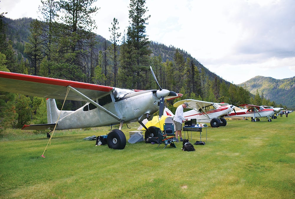
Flying into the backcountry and landing on an unimproved strip next to a lake where the fish normally die of old age is on many a pilot’s bucket list. The Avidyne Corporation, Jeppesen and the Recreational Aviation Foundation are making it easier to find these out-of-the-way places by including them in the new Jeppesen Nav Databases for GPS. 

The new database will feature unimproved airstrips on both private property and public lands. 

“Adding more of those type of airstrips to the Jeppesen Nav databases of aviation GPS units makes it much easier for a larger number of private pilots across the country to gain access and enjoy the benefits and freedom of flying that we all cherish,” said Avidyne President and CEO Dan Schwinn in a statement.

Often the only way to find these out-of-the-way, unimproved landing areas is to have a more experienced pilot show you where they are. Avidyne and Jeppesen are drawing on the expertise of the all-volunteer Recreational Aviation Foundation (RAF) to verify the location and characteristics of these backcountry strips. 

The RAF strives to promote recreational aviation by helping fund the establishment of new airstrips on public land, developing educational materials, and encouraging  national recognition of backcountry flying. 

“Our goal is to promote backcountry flying and to encourage more pilots to join us in the adventure of flight, and the aviation community is fortunate to have a friend like Avidyne who recognizes the value of these off-the-beaten-path aviation destinations,” said RAF Chairman John McKenna in a statement. “Avidyne actively supports the RAF and we really appreciate their efforts working with Jeppesen to enhance the Nav databases so these not-so-mainstream kinds of places can find their way onto the screens of modern avionics.”

Login

New to Flying?

Register

Already have an account?