Fog: the Malignant Weather Ninja
Although it is a common atmospheric phenomenon, there’s a reason that fog demands a pilot’s complete respect.

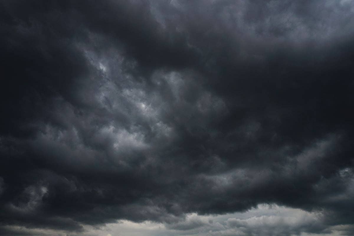
In some areas, fog is a nearly daily occurrence. [Shutterstock]
Every pilot certificate and every rating you pursue will have a weather learning component to it. One of the most important concepts you cover is about clouds—how they are classified and formed and what their appearance means in terms of atmospheric stability.
I live in the Pacific Northwest, where fog—the lowest of the low clouds—is a nearly daily occurrence, especially in the fall and winter. I live close to the water, and on some days it never lifts. Other days, we get a few hours of flyable sunshine and visibility, and we watch the temperature and dewpoint spread very carefully because fog can sneak up on you ninja-like. And if you are not instrument rated and in an instrument-capable aircraft, instrument current, instrument proficient, and prepared to "go on the gauges," you may have a really bad day. Know your enemy, as my father used to say.
- READ MORE: When Smoke Gets In Your Skies
What Is Fog?
Per the FAA’s Instrument Flying Handbook, fog is defined as a low cloud, which has its base within 50 feet of the ground, reducing visibility to less than five-eights sm. In order for fog to form, three basic conditions must be met:
- There needs to be condensation nuclei, such as smoke particles, salt, dust, pollen, etc., for the moisture to condense upon. In the Pacific Northwest, we have this in the form of salt from the ocean and smoke from all the wood stoves.
- There must be high water content and a low temperature/dew point spread. Dew point is the temperature the air must be cooled to in order to become saturated. When the air is cooled or moisture is added to it and the temperature and dew point are within 4 degrees Fahrenheit/2 degrees Celsius of each other, fog is likely, as it forms when the temperature and the dew point converge. As the day heats up, the temperature dew point diverges, and the fog ‘burns off.’ In the evening, the process reverses. In the afternoon, especially in winter, the process reverses usually around 3 p.m. Keep this in mind when you head out on late afternoon flights.
- Fog forms when light surface winds are present as they cause surface friction to create an eddy, causing more air to contact the ground
Fog is basically a cloud at the surface, but like other clouds, there are varieties, and each has certain characteristics. For example, some need wind to form.
To recall the types of fog, use the acronym SURAPIF (Steam, Upslope, Radiation, Advection, Precipitation, Ice, Freezing).
Steam Fog
Steam fog, sometimes known as “sea smoke,” forms when cooler air moves over slightly warmer water. Steam fog is usually not very thick and needs wind to form. It is associated with a shallow layer of unstable air, so you can expect convective turbulence flying through it.
Upslope Fog
Upslope fog forms as moist, stable air is pushed up a hill or other sloping land mass. As the air moves up, it cools, and when the temperature and dew point converge, there is fog. Mountain fog is sometimes mistaken for smoke, which is how the Great Smoky Mountains in North Carolina and Tennessee get their name. Per the Aviation Weather Handbook, this type of fog is most commonly observed in the autumn and spring months and is the densest around sunrise when surface temperatures are often at their lowest.
Radiation Fog
Radiation fog, also known as “ground fog,” forms over low-lying, flat surfaces on clear, calm, humid nights, especially over a wet surface like ground after rain. As the surface cools, the adjacent air also cools to its dew point and fog forms. Radiation fog can vary in depth from a few feet to about 1,000 feet and usually remains in place.
A subset of radiation fog is valley fog, which, as the name suggests, forms in lower-lying areas. It is very thick and is sometimes referred to as “tule fog.” It can form when the air along ridgetops cools after sunset. As the air becomes more dense and heavy, it flows down the slope to the valley floor, where it continues to cool and becomes saturated to form fog.
Radiation and valley fog can drop visibility to near zero and make any kind of transportation hazardous because you can't see in front of you and lack any depth perception. You may not even want to taxi in that kind of fog. Radiation fog is often a factor in chain-reaction accidents on highways in the winter months.
Advection Fog
Advection fog occurs when a low layer of warm, moist air moves over a cooler surface. This is very common along the West Coast in winter. Advection fog requires wind to form, and an increase in wind speed can make it thicken. It is also tenacious, moving over water and then inland, then back over water for days or even weeks at a time. The horizontal movement of advection fog helps distinguish it from radiation fog.
Precipitation Fog
Precipitation fog forms when rain evaporates as it falls through cold air. When the precipitation stops, the fog disappears. You can notice this when the objects at the end of the runway disappear under fog as it rains then reappear when the rain ends.
Ice Fog
Ice fog forms in polar and arctic regions—and other cold weather locations—when the temperature is minus-10 degrees or below, and the air is too cold for the air to contain supercooled water droplets, so it forms tiny ice crystals.
Freezing Fog
Freezing fog occurs when water droplets freeze on contact to a surface that is below 32 degrees. This means anything the freezing fog touches will become coated with ice—including all aircraft. Sometimes you can watch it form on cold mornings. As the fog rolls in, the aircraft on the ramp will slowly see their windows turn opaque, and their surfaces will appear to sparkle. This process is different from frost forming, which usually involves sublimation.
Respect the Fog
Even with an instrument certificate and an airplane loaded with the latest in technology, fog can quickly become too thick to operate in and destroy visibility. This is why instrument approaches have weather minimums in the form of ceiling and visibility printed on them. Respect the metrics, as sadly every year there are pilots who attempt to land in weather below the minimums and don't live to tell the story because they misjudged their altitude or distance from terrain because of fog.

Subscribe to Our Newsletter
Get the latest FLYING stories delivered directly to your inbox


