fbpx

When Smoke Gets In Your Skies

Pilots must look for factors that could potentially turn VFR into IFR conditions.

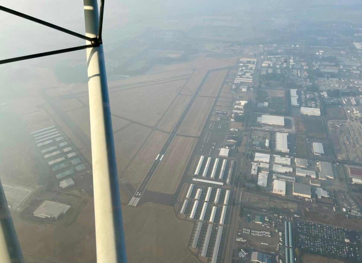
During initial training, one of the first flight planning skills a pilot must learn is how to access a weather briefing, closely followed by how to interpret the weather briefing. Among the things pilots must look for are factors that could potentially turn VFR into IFR conditions. It takes many forms, from low clouds, fog, and mist in the winter to smoke and haze in the summer. Any of these things make it more difficult for pilots to see each other in the sky.

Mist and Fog and Haze, Oh My!

What do mist, fog, and haze all have in common? They all reduce visibility in their own special way. The FAA has provided us with definitions of each in Advisory Circular 00-6B.

Mist is the visible aggregate of minute water droplets or ice crystals suspended in the atmosphere that reduces visibility to less than 7 statute miles but greater than, or equal to, 5/8 statute miles. Mist forms a thin grayish veil similar to fog, but not quite as visually obstructive.

Fog is defined as a visible aggregate of minute water droplets that are based at the Earth’s

surface, and reduces horizontal visibility to less than 5/8 statute miles. When the temperature and dewpoint are within 3 degrees celsius and converging fog can form quicker than you can say “Hey, I think fog is about to form?”

Fog differs from clouds only in that its base must be at the Earth’s surface. There are six types of fog pilots deal with: steam, upslope, radiation, advection, precipitation, and ice fog. Unless you are instrument rated, current, and proficient, you shouldn’t fly in any of them.

Both fog and mist dissipate as the air heats up.

Haze is a suspension in the air of extremely small particles—like salt from the ocean or pollution from a manufacturing plant that is invisible to the naked eye, but sufficiently numerous to give the air an opalescent appearance. Visibility is reduced because it scatters the shorter wavelengths of light. When viewed against a dark background, haze produces a bluish color—you often see this referenced geographically: there are the Blue Ridge Mountains in North Carolina and the Blue Hills of California.

When haze is veiled against a light background, like dry grass, the haze appears more gold. Haze reduces the ability to distinguish detail and can diminish depth perception, making it difficult to determine distance from a landmark on the ground, as haze can make a person’s eyes focus to infinity. This is particularly true when the aircraft is in haze and facing the sun.

One of my favorite ways to illustrate this with the learner is to take them up in an aircraft equipped with GPS on a hazy day, put a particular airport on the nose of the aircraft and ask them to determine the aircraft’s distance to the airport. They offer a guess—then they put the airport identifier into the GPS and are often surprised to see the airport is considerably closer than they thought it was.

When the Sky Gets Dirty

There are two man-made atmospheric conditions that can destroy visibility: smoke and smog. Smoke is a suspension in the air of small particles produced by combustion due to fires. For the past few years, wildfires have created smoke challenges for the West. Drought conditions have created tinder dry fuel, and the fires that follow are larger, more frequent, and more destructive. The smoke travels far—sometimes hundreds of miles.

Smoke from the Bolt Creek fire in Washington affected visibility during a recent flight. [Courtesy: Meg Godlewski]

Two years ago, a combination of fires in Washington, British Columbia, Oregon, and northern California turned the sky over the West coast a weird dark orange, like something out of a science fiction movie. When the smoke was at its worst, the apps that track air quality were indicating purple as in “hazardous” to all persons. The air felt crunchy. Not even the birds were out at dawn—it was eerily silent. In some places you could see the ash falling. In other places, it manifested as a fine dust on anything left outside, including airplanes. Some flight schools shut down temporarily rather than risking damage to their aircraft. Ash and engines are a bad combination.

The smoke created IFR conditions. Airport METARs (METeorological Aerodrome Reports) were in red on 1800WXBRIEF with the notation “FU” for smoke (recall it with fumar, the Spanish word for “to smoke”).

Smog—the citified cousin of smoke—happens when haze or fog combine with atmospheric pollutants such as those produced by automobile exhaust. Visibility is greatly diminished in smog, so much so that many pilots that fly in sunny but smog-inclined areas often file IFR for daytime VFR flights.

Trust the AWOS/ASOS/ATIS?

As I write this, Seattle is dealing with “unhealthy air” as the result of smoke from the Bolt Creek fire burning to the east. We have been living with this for the better part of two weeks. This weekend was particularly interesting, as the automated weather at the airport indicated visibility of 6 miles—but when we got into the sky I became skeptical of that assessment.

“Is this IFR?” the learner asked, squinting at the white patina that covered the ground. We were in the pattern, approximately 1,000 feet agl.

“Technically no,” I replied, noting we still had visual contact with the ground. The plan was to climb up to 2,700 feet for the cross-country flight for that day.

The learner said the skies were supposed to be less smoky to the west. A few minutes later he was turning us around because the smoke was not any lighter to the west, and it made it difficult to see the landmarks he had selected for pilotage, although we were still VFR. On the upside, he received an introduction to the use of the GPS to find his way home.

We were not the only pilots to be challenged by the smoke. A friend of mine on a post-maintenance flight snapped a photo of his airport from just under 3,000 feet. He was orbiting and remaining within 2 miles of the facility. He estimated visibility to be about 6 miles, although the AWOS was calling it 9 miles.

Determining Visibility from the Air

One way to determine visibility is to use your sectional and before you need them, pick out landmarks 3, 5, 7 and 10 statute miles from the airport (since you are looking for a benchmark for ground-based visibility). I often assign this task to the learners at the beginning of their training so they can get an idea of what those metrics look like from the air.

Mark them either electronically or with highlighter ink if you use paper charts. This is very much local knowledge, and will be very useful, for example, if you cannot see the blue water tower from the ramp, the visibility is less than 3 miles.

Login

New to Flying?

Register

Already have an account?