Tornadoes had caused extensive damage and loss of life in central Kansas — the area from which we had departed in our airplane that very morning. There had been a wild weather rampage all the way from Oklahoma to Nebraska. The video on TV that evening was dramatic. Had I taken an extreme risk to fly home out of that? Let’s see.
It was central Kansas in late spring. It was no surprise that thunderstorms were in the Wichita forecast for the morning. Before parting after dinner, I had advised my passengers of my plan. We would meet in the hotel breakfast area by 9 a.m., ready to go to the airport for a tentative 10 a.m. takeoff for San Diego. If we needed to wait for the weather to improve, we would pull out our laptops at the FBO and get some work done. If the weather did not improve, we would go back to the hotel and try again the next day.
When John and I awoke in the morning there was, of course, a thunderstorm in progress. The first thing we did was turn on our iPads and discuss the weather. On the Nexrad weather display we could see that training thunderstorms were responsible for our weather, but we could also see a break in the weather that was headed our way. It looked like it would arrive at about our planned 10 a.m. departure time. Also, both the Nexrad and TAFs confirmed that as soon as we got about 100 miles to the west we would be completely clear of the weather system.
We had a leisurely breakfast, met downstairs as planned, and left the hotel at 9 a.m. By the time we arrived at the FBO, the rain had slacked to a drizzle. We loaded the luggage and did our preflight inspection. Just before we got in the airplane I did one last check of Nexrad, using my iPad, and confirmed that we were, indeed, smack in the middle of a break in the weather and there was no precipitation to the west all the way home. It was a pleasant, comfortable trip.
How could I possibly have done this so comfortably and with so little risk? Because as pilots today, we all have wonderful weather resources that we could never have dreamed of a few decades ago. To begin with, on our tablets or smartphones we have Nexrad, which gives us a picture that is only minutes old of where thunderstorms are.
When John and I started flying some four decades ago, if thunderstorms weren’t almost directly over a reporting station we didn’t know where they were. In fact, no one knew. There were no national maps of thunderstorm locations and movement. The best we had was radars that served a local area. One time when we were considering departing the airport in Fargo, North Dakota, we were invited up to the tower to look at its radar. It didn’t really tell us much. All we could see was that there was one thunderstorm within range of the local radar. We didn’t know how many other thunderstorms there were, what direction they were moving, and what the overall pattern was.
Early on, getting weather information was a real trial. Every flight service station had a different telephone number. We kept a list, but if we went to new places we had to find the phone numbers. It wasn’t easy. They weren’t always listed the same way in the phone book. When we did get the FSS on the phone, we’d have to write down the briefing — hoping we or the flight service station briefer didn’t miss something important.
One time in Bellingham, Washington, we went in person to the FSS on the field. We were planning a fuel stop in Ketchikan, Alaska, on our way to Fairbanks. Ketchikan was always problematic. It had an ILS, but due to the mountain ridge just west of the final approach course, the minimums were high. The alternates were not close. If we weren’t going to make it into Ketchikan, it was best to know it early so we could plan a different fuel stop.
As it was done then, the briefer got a teletype report of the weather and read it to us. We were expected to write it down. When he was done with the briefing, he would discard the printout. I asked the briefer if he would retrieve the printout and let me read it. I discovered he had failed to read me a notam advising that the ILS was out of service. This was a big deal. If we had gotten all the way to Ketchikan before learning the ILS was out of service, and then had to go somewhere else, we would have arrived highly stressed and with minimum fuel. Having someone read a briefing to you while you write it down is a flawed system.
Part of the concern was that the pilot might not be able to read the coded weather reports. That concern is gone. Almost every flight-planning program and app provides decoded information.
Another concern was that we pilots might not be qualified to interpret the weather. That might have been a legitimate concern at one time, but I don’t think it is now. We have satellite maps, Nexrad radar depictions and many other graphical tools to actually see what is going on.
The final concern was that pilots are lazy and wouldn’t bother to get a complete weather briefing. To address that concern, the FAA sponsors Lockheed-Martin’s website 1800wxbrief.com, and duats.com. Duats.com also has an app. Both of these supply you a standard weather briefing and record the fact that you got one, in case something happens and the FAA comes calling.
Fltplan.com also supplies you a standard briefing. Additionally, when you log on to Flight Plan’s site, it records everything you do. So if you don’t get the formal standard route briefing, but have met all the requirements by cruising the site on your own, it’ll record that too.
There are a lot of really great flight planning programs and apps, and everyone has their favorite. I use fltplan.com and get everything I need for a standard briefing from it. I like it very much. But I use a whole bunch of other apps too.
For instance, on the morning of our departure from Wichita I used Weather Underground to check the local nonaviation weather to see what was expected farther away from the airport area itself, since the TAF covers only 5 miles around the airport.
Some apps are not nearly as comprehensive as a full planning program, but they can provide a really quick way to get to a specific thing. I used MyRadar as a fast way to get to the Nexrad display so I could check it frequently. Additionally, I used AeroWeather as a fast way to check the metars for various airports out to the west.
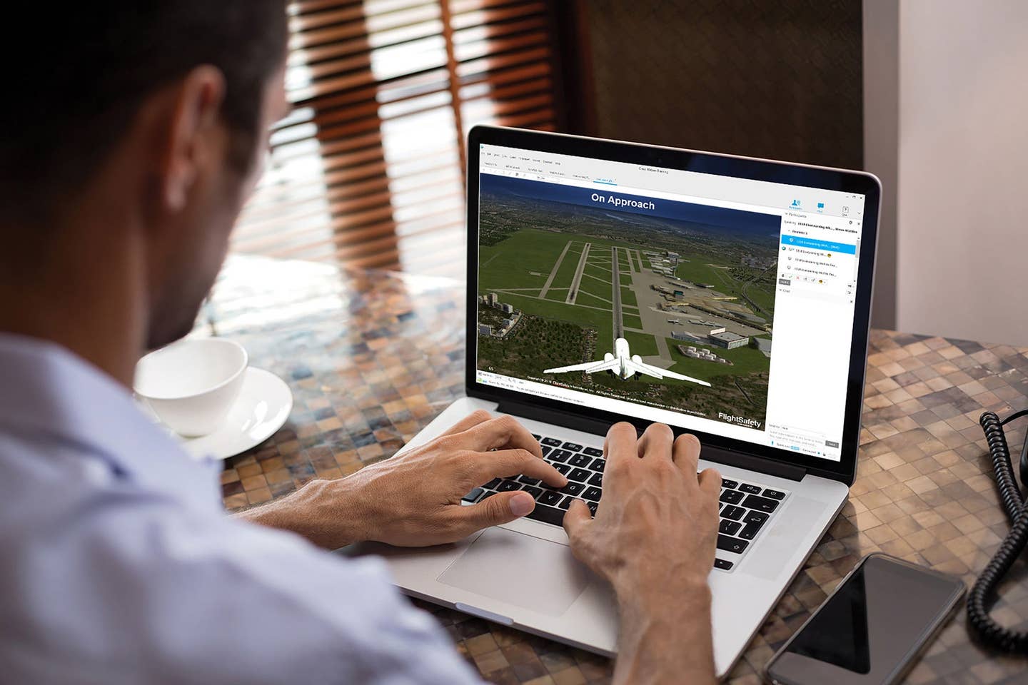
The Internet is a pilot’s dream. We now get far better information, including graphical displays of the current positions of thunderstorms, fronts, low ceilings and visibilities, winds aloft and about everything else you can imagine. The ease of getting the information means we get it more frequently and more recently, even while in the air with ADS-B or XM Weather from SiriusXM.
On the other hand, when we get our weather briefings online, responsibility has clearly been transferred from the FAA to us. There is no one there to tell us "VFR not recommended." It puts the onus on us to make sure we get the weather information we need.
With the Internet I find I am much more engaged in getting weather information. Knowing the apps to use and how to use them has become a hobby. I check the weather for the fun of it even when I am not going to fly.
So was I foolhardy to take off from Wichita with potentially killer thunderstorms in the vicinity? In the days before Internet-supplied weather information, I might have been. I don’t think so today. I had the tools to actually see the thunderstorms and mitigate the risk from them.
Perhaps more important, I had taken pressure off myself by managing the expectations of my passengers, beginning with the evening before. I had told them the departure time would be flexible according to how the weather developed. Both of these were critical to being able to make the flight while mitigating the risk, rather than just having to resort to a go or no-go decision. And that brings risk management to a higher level.
Get exclusive online content like this delivered straight to your inbox by signing up for our free enewsletter.

Subscribe to Our Newsletter
Get the latest FLYING stories delivered directly to your inbox

