Taking Risks at a Trio of Mount Rainier Airstrips, Virtually

‘Microsoft Flight Simulator 2020’ offers an opportunity for a low-level, risky flight that barely clears terrain.

A view of Ranger Creek Runway 33, with a guardrail down the length of it with some mid-runway camping zone. This kind of small detail goes a long way toward added immersion. [Image: Peter James]

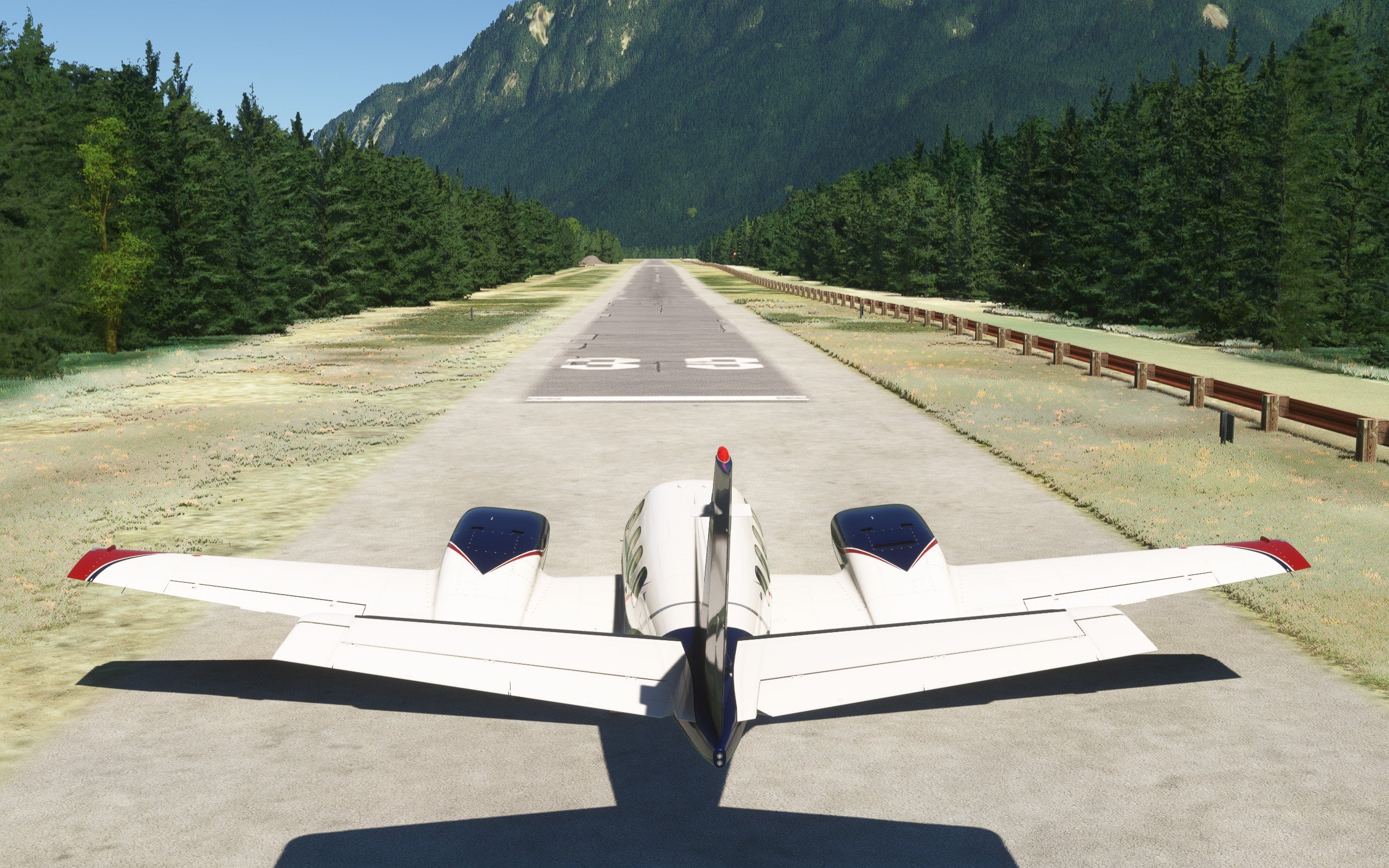
I recently had the joy to fly the real Challenger 300 on a spectacular trip from the Seattle area to Thermal, California, and back on a glorious day. There was 100-mile or more visibility the entire route, with eye-popping views of Mount Rainier and other famous explosive peaks of the Pacific Northwest. 

It was a great place to attempt to simulate in Microsoft Flight Simulator 2020 (MSFS2020)—a low-level, risky flight that barely cleared terrain. 

As I get older, my real-life flying is becoming more conservative. In a flight sim, however, I’ll take risks. 

I targeted three unique destinations in Washington state, starting at Ranger Creek Airport (21W) near Greenwater, then Tieton State Airport (4S6) in Rimrock, and Strom Field Airport (39P) in Morton. I downloaded freeware scenery for each field in order to enhance the small airport feel and theme. Custom scenery for all the airports is available to download free here

High Terrain

This route brings you over some pretty high terrain, so I chose the recently released Beechcraft 60 Duke by Just Flight

The Black Square Duke is a “study level” complete version of the real thing, an airplane you must take care of and maintain realistically. This airplane is powerful, with turbocharged engines and a healthy climb rate. It will have no trouble getting over the peaks, even on a warm day of 70 degrees Fahrenheit. 

Ranger Creek sits east of massive Mount Rainier and is perhaps the closest airport to that famous dormant volcano. I have always wanted to go there in person, because it sounded mysterious and backcountry-ish. 

A view of Ranger Creek State Airport with real signage. It’s a good place to hike or pop up a tent or two. [Image: Peter James]

The scenery in these airports adds enough added objects to increase the immersion factor. I don’t believe it reduces any FPS performance to any noticeable effect over default, so most everyone should be able to use it well.

The scenery includes tenting and picnic areas. [Image: Peter James]

Choosing the recently released Beechcraft Duke was easy. The flight sim community has been awaiting this some time now, as beloved Black Square designer (famous for the redos of the default Bonanza, Baron, and TBM) had decided to design this entire airplane from scratch, modeling everything perfectly.

It doesn’t disappoint, and the couple of hours I spent on this article was not enough to begin to learn this fully detailed aircraft. It is a “living, breathing plane," one of the new popular approaches designers have been employing lately to many releases on the commercial side. 

127 degrees and 25 miles direct to Tieton State. 8300 MSA on that line to be aware of. [Image: Peter James]

The route to Tieton State Airport took about 15 minutes as the direct line wasn’t easy with terrain, but I also enjoyed some relatively low-level, summit skimming and side swiping on such a perfect day. The live weather of MSFS2020 and sunshine will provide some thermals, updrafts and downdrafts, as well as proper shadowing of lift, such as lakes and ponds, having no updrafts, and fields providing the most thermal-induced results. The terrain is great practice to follow along with on a sectional chart, noting the accuracy and landmarks along the way, imitating the visual world almost perfectly in MSFS2020 default photo scenery. 

The latest Garmin 750 provides easy click and point pan mode to place a cursor over your destination or anywhere you want to go and get instant CDI BRG, ETE, DIS, etc. 18.7 nm in this example as I race quickly to 4S6. [Image: Peter James]

The Duke has been completely retrofitted with the latest and greatest modern technology, as you can see. Engine analyzers and proper technique are required to maintain health. This really made me think back to my piston-twin days when I experienced the most complex flying of my career. I had nothing modern, sometimes no autopilot, flew in IFR alone, and often had to know how to perform holds and ADF approaches with passengers on a timely schedule.

The 8,500 MSA is named partly for this peak, where I am unable to clear it at 6,500, requiring a close shave to the left of it. On this glorious day, I did just that, then dove into the valley below. [Image: Peter James]

The sectional via ForeFlight on iPad and the GNS750 doesn’t portray the huge, steep descent you’ll need to make to enter the pattern, losing many thousands of feet. It is one of the most breathtaking areas I’ve ever seen. (For Top Gun: Maverick fans, much of the recent movie's high-speed chases were filmed here over Rimrock Lake. That is something to re-create using the F-18 available in Marketplace, coupled with the Top Gun: Maverick add-on for effect. 

Maneuvering in the valley is tight, with a prominent rock that from this angle looks like a man’s head or mummy face, rising from the terrain. [Image: Peter James]  

An eerie pattern emerged with the mummification-style face rising from the terrain. It can get right in your way on a downwind. 

That ‘mummy rock’ gets right in your face on the right downwind, and you’ll need to do some fancy footwork to clear it and maintain a normal downwind leg. [Image: Peter James]

New Lessons Learned

The mummy face becomes much more of a huge rock as you maneuver a right downwind-style approach. You cannot do a left downwind at all due to the other mountain on the base at the final to that runway, so you must land over the lake—one way in and one way out.

Rimrock Lake near 4S6 is said to be the area in which the high-speed F-18 chases were filmed in the movie Top Gun: Maverick. Turning right base you can see the crooked dirt, sand, and gravel runway with the mountain immediately on the departure end. [Image: Peter James]

Over the right base leg above Rimrock lake, it’s hard to not spend all the time rubbernecking the area. The calm winds made for a mirror of tranquil water below, perfect for a floatplane digression perhaps. But with terrain and uneven heating at work, I was not set up well for my first attempt, as I was clearly too high and unstable. That meant it was props full forward, power up, gear up, and get out for another try.

Short final, props forward, thinking of soft field landing techniques from the past. I’m in a nicer plane that probably shouldn’t be used for this type of mission, so I am afraid she’ll get dirty at the least with some rock or engine damage. Since I realized I was too high and unstable to align perfectly, I decided to turn this into a low pass to view the landing area before committing too late. [Image: Peter James]

When writing about sim flights, I always learn a new thing or two. The sim behaves in many ways like real life with various parameters cropping up that you hadn’t planned for—which is fun. It’s also a valuable learning experience. You think pilots probably don’t go around in real life as much as they should, and this is really an issue in the sim world. I hardly ever go around on my PC, as it’s hard to be hurt in your computer chair. This is a bad habit to get used to. I am trying to go around more often now in my serious sim sessions as it’s so necessary to keep that real-life mental readiness in full swing. 

Close final reveals the crooked clearing, and in this instance I am doing a low pass to check it all out first, seeing that the varying width and tall pines make it challenging. The 2,500-foot runway length was clearly not the usable runway distance available. [Image: Peter James]

Along with go-arounds, even flying simulated low passes across an unknown field is good practice too. 

The final leg to Strom (not ‘storm’ although I wish it was called ‘Storm Field’) was only 22 nm, but once again right over some difficult terrain. [Image: Peter James]

The leg to Strom Airport was quite scenic as I detoured south a bit over the lower valley, along a road, river, and lush farmlands. I could see the Randle-Kiona Airpark (WN55) along the way to my south, although I didn’t land there. 

A high ridge that looked more like a wall just below me at 6,000 feet was no issue in the Duke, but to a smaller plane this one looked hard. I chose to fly right over the top, risking that I was following the proper FAA distance over ‘other than sparsely populated areas’ minimum distance rules. [Image: Peter James]
Sitting at 200 knots over the ridge, complete with snow fields still visible. Not quite the speed featured in the Top Gun: Maverick scenes in the area, but exhilarating nonetheless. [Image: Peter James]

I felt a jolt going over the terrain with lift initially then a noticeable downdraft on the leeward side. All fabulous fun with live weather. 

Strom is located just past one more alpine ridge, then it looks way down low into a valley as you can see on the onboard 750. Another beautiful buzz job over the wilderness region of Washington state before gently monitoring the manifolds on descent into Strom. This airplane is a living one, so any ham-fisted actions will have consequences. [Image: Peter James]
Landing east into Strom Airport shows some great details from the add-on scenery as turnaround zones, fence posts, accurate worn runway paint, and perhaps a crew car for that $100 hamburger. The runway is listed in poor condition in ForeFlight at only 1,800-by-40-feet wide, and poor asphalt. [Image: Peter James]
That was tough, coming to a rest at the end with no room to spare, but a good turnaround zone. I am not sure if I had warm brakes or not, but I had that feeling they might be as I hadn’t touched down in the zone either. [Image: Peter James]
A good FBO truck to borrow happily awaits us for lunch. Some tumbleweed parking is required, and some dusty shoes are in order. [Image: Peter James]

There is an endless world to explore with almost perfect photorealistic scenery worldwide. The freeware and payware airport enhancements out there really do add some immersion to low-level, small backcountry airstrips that may be worth getting on a case-by-case basis. 

I am not a huge fan of add-on scenery, in general, as the default world seems almost perfect. But in MSFS2020, it is easy to add without any real performance degradation. The details of handmade airports are really cool and often match the real-life counterparts perfectly. 

The new Beechcraft Duke (and Turbine Duke) are lots of fun and will get you in and out of anywhere without concern. These three airports can be accessible by any lesser-powered single as well in the sim. It would be fun to redo these legs on hotter days in weaker aircraft as well to see what kind of trouble I could get into. 

Peter James
Peter JamesContributor
Peter is an experienced Part 135 business jet pilot with a passion for simulators and how they blend with the real world. Learning to fly at age 12, he supplemented his passion and career goals with the early versions of Microsoft Flight Simulator. With the growing realism of all PC simulators today, he frequently uses them for extra proficiency, and loves to show other pilots how great they are.

Subscribe to Our Newsletter

Get the latest FLYING stories delivered directly to your inbox

Subscribe to our newsletter