Half Moon Bay RNAV (GPS) Runway 30

The GPS approach to Runway 30 at Half Moon Bay in California could just end up being the approach any of us need to get below some marine cloud layers.

Half Moon Bay sits on the stunning Northern California coast. [Credit: Jeff Berlin]
Gemini Sparkle

Key Takeaways:

  • The Half Moon Bay (KHAF) Runway 30 RNAV (GPS) approach is crucial for penetrating marine cloud layers and uniquely features a required course change at the JUMDA intersection due to terrain.
  • WAAS LPV capability significantly lowers approach minimums to 381 ft MSL, offering a crucial advantage over LNAV minimums (620 ft MSL) for breaking out of clouds.
  • Pilots flying LNAV-only must observe a 2,020 ft MSL step-down at the MAVKC intersection.
  • The missed approach procedure involves multiple turns, flying outbound to LAYKI then to SEEMS for a hold, and requires a continued climb to 4,000 ft within the holding pattern, which is depicted off-chart and relatively close to the airport.
See a mistake? Contact us.

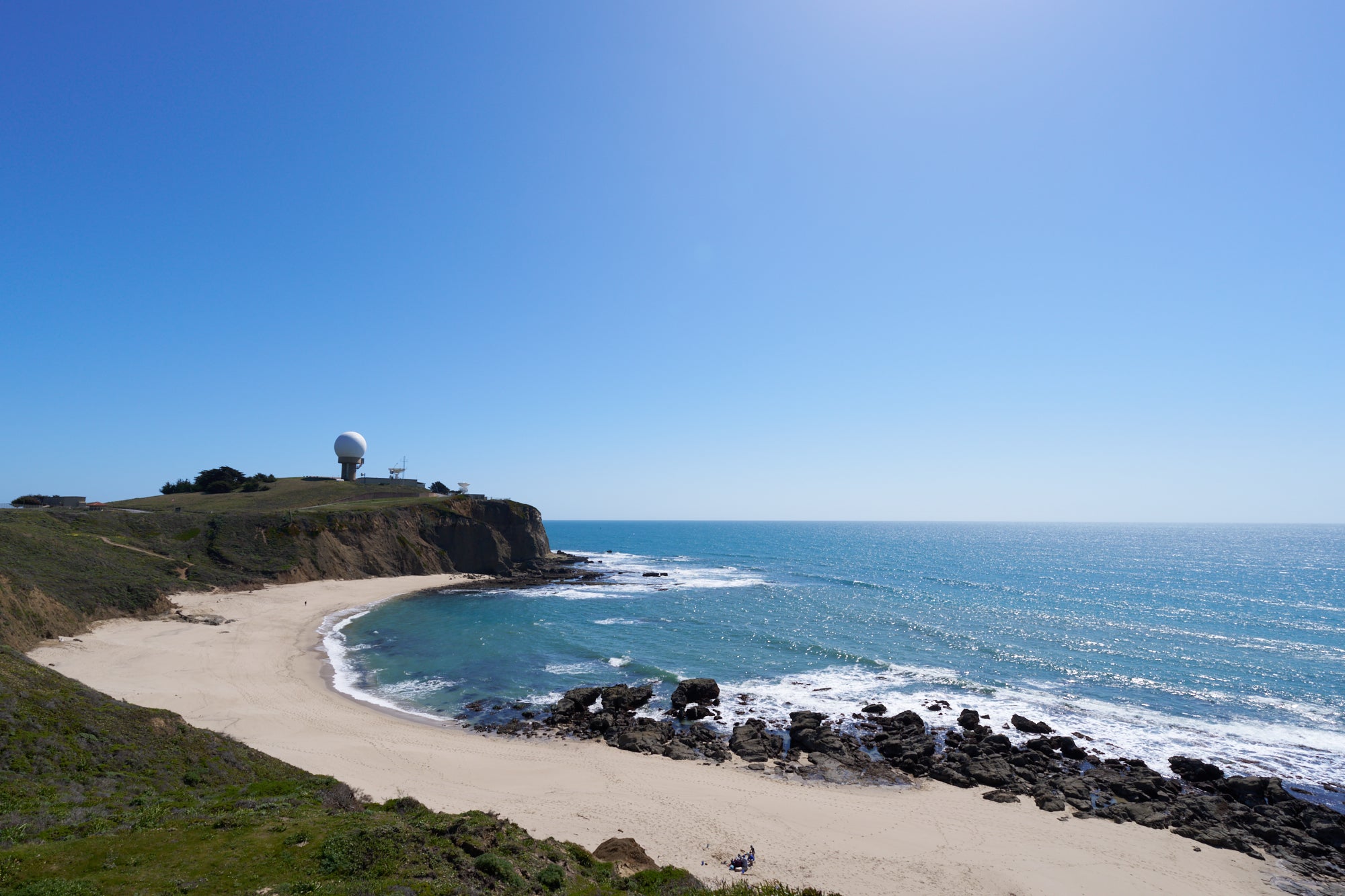
“Half Moon Bay boasts the best of Northern California’s San Francisco Bay Area all in one place. With a vast and diverse landscape that encompasses miles of wide sandy beaches, lush blufftop meadows, and rolling forested hills, there is plenty to explore.” According to the visitor’s website, I can see why I might want to go, and I suspect—like me—you might want to fly there.

The GPS approach to Runway 30 could just end up being the approach any of us need to get below some marine cloud layers.

This Article First Appeared in FLYING Magazine

If you're not already a subscriber, what are you waiting for? Subscribe today to get the issue as soon as it is released in either Print or Digital formats.

Subscribe Now

A. Turns from IAF to IF and Beyond

A pilot might start this approach from the SAPID waypoint and continue toward the airport using a 313-degree heading. Pay attention, as there is a turn at the JUMDA intersection to a new 302 track from there to the FAF of WOHLI and the airport beyond. This can be an easy thing to miss since most of the approaches we all fly keep one course from start to finish. On this approach, terrain to the south and east of the JUMDA intersection doesn’t allow for a straight line to be drawn to JUMDA for a pilot to establish on to the approach further out.

The Runway 30 RNAV (GPS) approach at KHAF in California. [Credit: Jeppesen/FMG Studio]

B. Low Minimums Thanks to WAAS LPV

LPV minimums are presented on this particular approach that takes a pilot and their aircraft down to 381 feet msl (327 feet agl). These minimums are available for aircraft equipped with IFR GPS systems capable of receiving WAAS signals. This is pretty darned low—almost down to the altitudes that most ILS systems take a pilot. If you don’t have WAAS capability, you might find yourself only able to go down to LNAV MDA minimums. These put a pilot at a higher 620 feet msl (566 feet agl). That just might be the difference sometimes between breaking out and going missed.

C. Step-Down if LNAV

A 2,020-foot minimum altitude is depicted at the MAVKC intersection. This is applicable according to the “2” ballflag for pilots who might be flying this approach in an aircraft requiring LNAV MDA minimums (non-WAAS capable aircraft that could go to LPV minimums). While an advisory glideslope may be given in many GPS systems that are non-WAAS, a pilot would need to maintain an altitude no lower than 2,020 feet msl until passing MAVKC in such an aircraft. This is commonly considered a step-down along the approach.

D. Missed Off the Chart; Another Turn

A pilot flying inbound on the 302 heading who needs to go missed will fly that heading outbound to the LAYKI intersection. Then they will need to turn to the SEEMS intersection for their hold on a new heading of 267 degrees.

An inset on this chart also visually depicts the missed approach and hold point because it is out of scale on the plan view to depict it there. A note in the missed approach instructions indicates that the pilot should “continue climb in hold to 4,000” when flying the missed.

This is a good cue that you might reach the missed approach holding point, which is only a total of 9 nautical miles from the airport before you reach the holding altitude. So, keep climbing as you enter and establish into the hold in this case.

Jason Blair

Jason Blair is a flight instructor and an FAA designated pilot examiner, and an active author in the general aviation and flight training communities.

Ready to Sell Your Aircraft?

List your airplane on AircraftForSale.com and reach qualified buyers.

List Your Aircraft
AircraftForSale Logo | FLYING Logo
Pilot in aircraft
Sign-up for newsletters & special offers!

Get the latest stories & special offers delivered directly to your inbox.

SUBSCRIBE