













Register

Thunderstorms and the Dry Line

Gemini Sparkle

Key Takeaways:

  • The author recounts a dangerous encounter with a rapidly developing "dry line thunderstorm" over the Great Plains, where an initially benign forecast quickly transformed into a severe storm with extreme updrafts and turbulence, making the aircraft uncontrollable.
  • Dry line thunderstorms occur on the Great Plains when dry air from the Rocky Mountains collides with moist, cooler air, causing powerful convection that leads to swift, severe storm development, often associated with supercells and tornadoes.
  • These storms are particularly hazardous due to their rapid metastasis, lethal updrafts/downdrafts, and extreme turbulence, which can create dangerous "sucker holes" from seemingly clear skies.
  • Pilots must proactively check for dry line forecasts on prog charts (orange line with scallops) and observe in-flight warning signs like virga, lightning, or funnel clouds, with the recommended action being to retreat and land to avoid severe risks.
See a mistake? Contact us.

Illustrations by Matthew Laznicka|

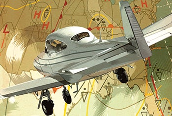
Clayton, New Mexico — way east of the Rocky Mountains, out on the Great Plains. A humid June afternoon. We had finished up in court and were sitting around in the judge’s office. The phone rang. The judge handed it to me. My friend, the airport weather forecaster, spoke abruptly: “Margaret, if you’re gonna go, you’d better git!” So after a quick weather briefing — scattered thunderstorms — I preflighted my Navion and took off on the 160-mile flight west to Taos.


Ready to Sell Your Aircraft?

List your airplane on AircraftForSale.com and reach qualified buyers.

List Your Aircraft
AircraftForSale Logo | FLYING Logo
Pilot in aircraft
Sign-up for newsletters & special offers!

Get the latest stories & special offers delivered directly to your inbox.

SUBSCRIBE