fbpx

Reverse Weather Briefing

How to see the big weather picture.

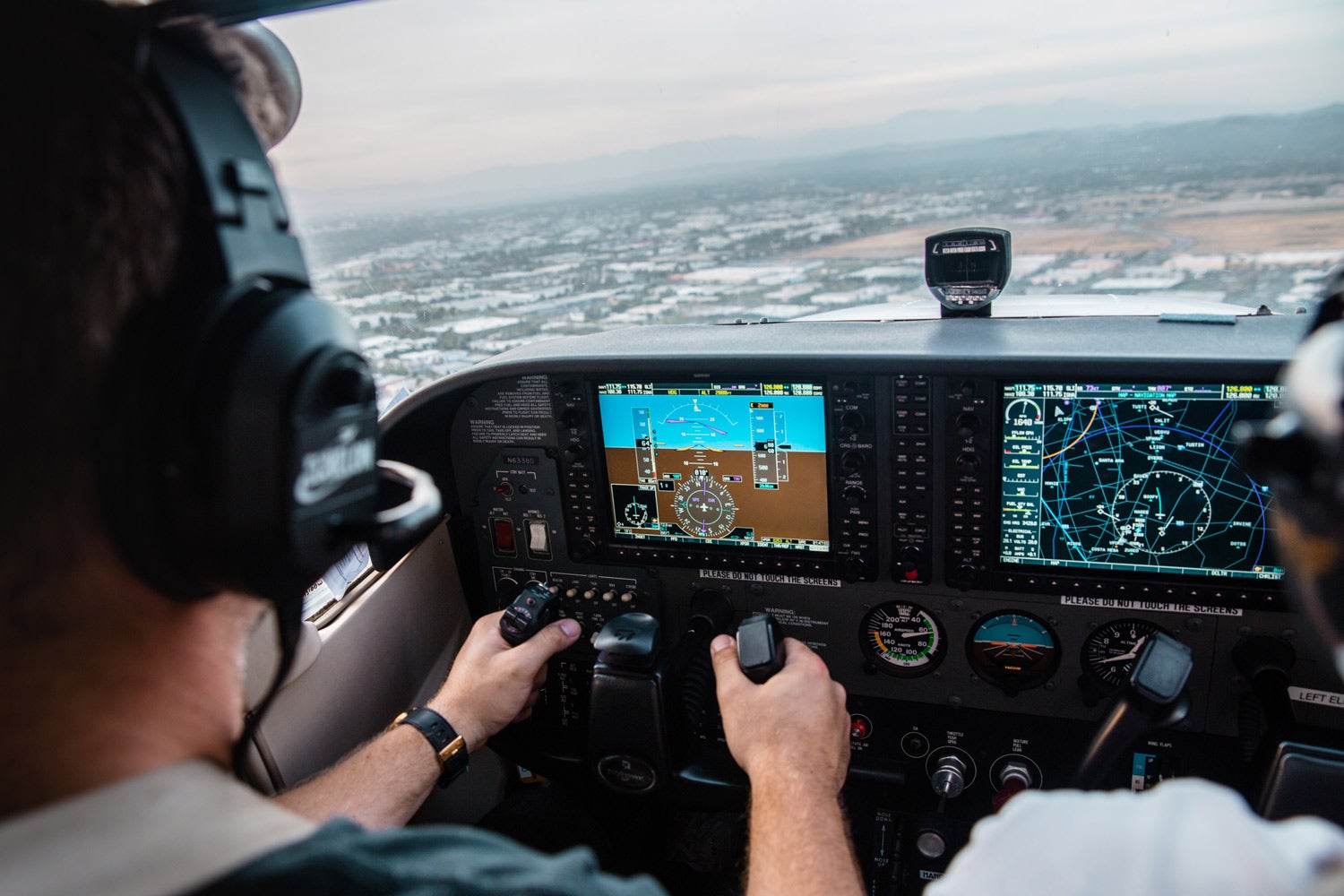
On a scale of 1 to 10, how would you rate the quality of your weather briefing before each flight? Does the wealth of information available from mobile apps and online resources give you the feeling of being more prepared today, compared to calling Flight Service 15 years ago? Or do you find it more challenging now, hunting down various resources, reports and forecasts from a variety of different sources online and in several different locations in the same app, trying to build a mental picture of the ­atmosphere before each flight?

Personally, I’ve never been ­satisfied with the weather-briefing process, starting with the phone briefings I learned to use in the late 1990s. These were—and still are—constrained to a rigid flow, which ensured the same forecasts and reports were provided by the briefer in the same sequence for every briefing. They were hardly considered complete on their own, as you still had to check in on a computer after the call to get an update on metars and visualize the latest surface analysis, radar and satellite imagery.

Fast-forward to today, when pilots have access to more preflight weather resources than ever before thanks to mobile apps and the expansion of weather-product offerings from the National Weather Service and Aviation Weather Center websites. The most significant improvement in the past 10 years is the ability to display the core weather products on an interactive touchscreen map when planning a flight in your favorite electronic flight bag app, providing a higher level of context.

Metars, TAFs, pireps, radar imagery and airmets only scratch the surface when considering all the resources available to pilots today. The challenge now is, first, knowing what additional resources are available from the NWS and then, more ­important, where to find them. The ­government-run National Oceanic and Atmospheric Administration, NWS and AWC websites leave a lot to be desired, and I find it more efficient to use Google to search for specific forecasts and charts instead of attempting to navigate disjointed menus to find the Graphical Forecast for Aviation, Traffic Flow Management Convective Forecast products or model-based forecast graphics, for example. Several of the popular EFB apps offer a limited selection of secondary resources, but they are typically tucked away in a separate weather-imagery section and out of sight from the normal flight-planning flow.

Keeping up with these newer weather products when investigating weather hazards can be a challenge, as you won’t find press releases from the National Weather Service ­alerting you when new ones become available. We recently produced a new weather course at Sporty’s Pilot Shop called “Aviation Weather—A Pilot’s Guide.” In the process of ­creating this course, I learned a good deal from meteorologist and aviation writer Scott Dimmich about many of these valuable NWS resources that I had no idea existed. We made it a major focus in the course to show how to use the latest weather products like the GFA, MOS, TCF/ECF, and thunderstorm/icing forecast layers and how to interpret them and help pilots go beyond the same ­routine weather briefing.

Now, you could rely on the Flight Service standard weather ­briefing in its latest digital form in ForeFlight or 1800wxbrief.com, but even this method won’t expose you to the ­latest weather tools, such as the GFA, TCF or MOS. This leaves the ­modern, weather-inquisitive pilot in the ­position of seeking out ­supplemental weather products from ­multiple apps and online resources. This scattered briefing process might go something like this:

  • Locate the surface analysis and prog charts in your EFB app or AWC website to learn the big picture.
  • Enter a route on the moving map in your EFB app.
  • Toggle 10 different weather layers on and off, as permitted by the app.
  • Jump over to the Airports page to view additional text weather products, such as MOS forecasts or NWS forecast discussions.
  • Switch to the Weather section of the app to view specialized forecast charts and maps.
  • Go online to the Aviation Weather Center website to view the Graphical Forecast for Aviation cloud tops and bases forecast (good luck finding this because it’s under the Tools menu and not Forecasts).
  • Aimlessly wander the National Weather Service website trying to figure out what other innovative weather maps are hidden behind lists of menus and buttons (check out the Rapid Refresh Radar forecast, if you’re skilled enough to find it).

Sound familiar? Wouldn’t it be nice if there were an app or online resource that brought all this information into one location? We’re not quite there yet, so it’s up to the pilot to determine a flow that works best.

Before going on, I don’t want to completely discount the Flight Service NextGen weather briefing available in ForeFlight and 1800wxbrief.com because this is still a great way to get a complete weather briefing all in one spot. It’s where I teach my students to start when learning to fly and perfect for the casual flyer who isn’t interested in all the advanced model-based forecasts.

So I’ve taken a new approach when flying IFR, which I call the “reverse weather briefing,” accepting the fact that I’ll be going on a bit of a scavenger hunt for weather ­products based on the conditions of the day.

The “reverse” part of the briefing gets its name because it starts with the graphical depiction of the Pilot Report layer on an interactive map to take a big-picture view of the ­location and severity of hazards being reported, such as turbulence, icing and wind shear. You can quickly interpret the condition, intensity and altitude of each report based on the color, symbol and altitude code listed to get a good feel for the potential trouble spots.

Next, add the radar imagery as a second overlay to determine which of the pireps were likely caused by ­precipitation—which more often than not is the key indicator for where you’re likely to find thunderstorms, heavy ice, turbulence and low-IFR conditions. I use this as a jumping-off point to then decide which other advanced charts to reference, either in the same app or one of the NWS websites.

See lots of icing pireps? It’s time to check out the icing forecast layers, severity/probability charts, temps aloft, freezing level charts and airmets. Finding lots of turbulence pireps in a convective weather system? Head over to the Convective Outlook, Convective Forecast, sigmets, TAFs and NWS Forecast Discussion to learn more about the strength of the system and how the timing of expected development will impact your route.

I’ve found that by approaching the briefing with a look at actual conditions first, you can more accurately identify potential weather hazards early and direct your focus to specialty charts to better understand the big ­picture. There are just as many days you’ll find only a handful of pireps with high pressure and clear skies along your route, greatly reducing the number of charts and reports you’ll need to reference for that day’s briefing.

The reverse weather briefing has its limitations depending on when and where you are flying. First, it works better for the IFR pilot flying through active weather systems, so VFR pilots may not find it as effective when focused on visibility and the height of cloud bases. Then, there are many times you’ll find nearly all the pireps are coming from the airlines, so you’ll have to mentally calibrate the intensity level with your airplane type in mind. Light or moderate turbulence or ice reported from a Boeing 767 will have a greater effect on the lighter and slower airframe of a Cessna 182. There are also times of day and regions in the United States when the flight volume is light or nonexistent, so starting off with pireps won’t work well.

We’re closing in on the technology that will soon enable affordable internet connectivity in the cockpit, allowing you to quickly submit pireps in flight from your main EFB app. The Aerovie app from Appareo can do this now. This will lead to a substantial jump in the number of pireps generated every hour, making this briefing method even more effective. I’d suspect too that the NWS would be able to use the increased volume of real data to improve its weather modeling and improve forecasting along the way.

Login

New to Flying?

Register

Already have an account?