fbpx

Playdate Provides Chance to Explore the Cascades

A GA pilot and his flying pup enjoy the bachelor life for a bit on some mountain airstrips.

We’ve had an absolutely gorgeous spring and early summer in the Pacific Northwest, and if I had my druthers, I’d spend every glorious moment exploring the area with my pretty blue-and-green 1946 Stinson 108. But it’s been all work and no play for this dull boy, because as of early July, my wife Dawn and I are still not quite moved into our grass-strip hangar/apartment. We’re making great progress, mind you, with the punch list growing steadily shorter and the final inspection drawing closer. The place is really coming together and is becoming exactly the handsome, comfortable little adventure base I envisioned. Our excitement over our impending move has helped keep our noses to the grindstone, even on all these beautiful flying days when we’d rather be airborne.

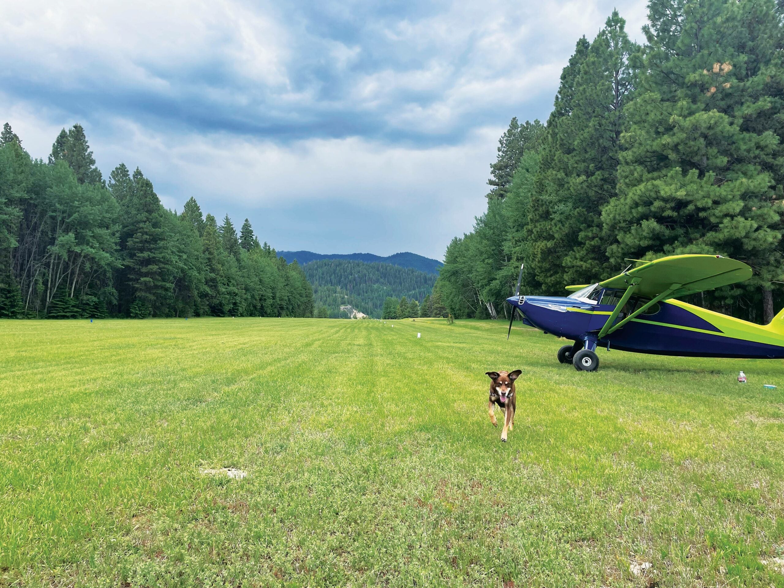
But today I’m finally taking a day off. I’ve had an ultra-productive week, I’ll be flying for work tomorrow, and Dawn just headed to her parents’ place in South Dakota. It’s just me and my flying pooch, Piper, living the bachelor life. It’s time for a playdate to go explore those Cascade mountain strips I’ve been eyeing from high above on the CHINS5 and GLASR2 arrivals. This would ideally be done in the cool, still air of morning, but I got waylaid by another project, and it’s after noon by the time Piper and I finally depart and turn northeast. It’s not a terribly hot day, though, and we’re light, and the highest airstrip is at only 3,000 feet in elevation. The puffy cumulus over the Cascades aren’t looking too threatening—yet.

Featured

I skirt south of Paine Field (KPAE) and enter the mountains via the dramatic Skykomish River valley, with 6,000-foot peaks towering over both sides. Fifteen miles in, the town of Skykomish appears around a bend along with our first destination, Skykomish State Airport (S88): 2,000 feet of turf runway, 1,002 feet elevation, trees on both ends. The left pattern to Runway 24 makes for a tight downwind along the southern ridge and close by a granite outcropping before turning a blind base. Turning final, the runway appears again out of the trees, and I ease down a groove and land on the grass. With just Piper and I and partial fuel, I easily turn off at midfield without getting on the brakes.

Piper is a much less anxious flyer these days, but he’s still always glad to clamber out of the airplane and run his little heart out. The airport is deserted today, so I let him wander off leash while I take a look at the picnic tables and camping spots. The field is ideally set up for group camping by an EAA chapter or a gaggle of friends. The guest book reveals mostly old taildraggers like mine, the most recent some 10 days ago. There’s no reason you couldn’t take a Cessna 172 in here easily if you kept it light, but alas, many flight schools and FBOs in the area now prohibit landing at unpaved airports.

After a quick lunch, Piper and I load up again, start up, and take off on Runway 24. I fly a mile beyond town and then turn around in a wide part of the valley, climbing steeply to have plenty of altitude before approaching 4,056-foot Stevens Pass. I see the alpine lake to which Dawn and I snowshoed last winter and turn north to cross a 5,000-foot ridge into the Rainy Creek watershed. I follow it down to beautiful Lake Wenatchee and the Lake Wenatchee State Airport (27W), elevation 1,936 feet msl. As I approach, I can see the middle half of the 2,473-foot runway appears to be bare dirt and decide to do an inspection pass down Runway 9. I don’t see any big rocks, but on the next approach I touch down right at the threshold to get slow before the bare patch. Even at reduced speed, we bounce around a lot, and I can hear stones hitting the underside of the fuselage. Maybe I ought to have landed beyond the dirt—there was a good 1,000 feet of grass left. Soon after we arrive, a Cessna 182 buzzes the dusty strip and peels off into the left downwind. I film his landing, which is a dramatic plop right in the middle of the rocky zone. The hardy Skylane seems no worse for wear, and I’m soon talking to Bryce from Las Vegas. He’s flown all the way here for the Touratech Rally for adventure motorcyclists in nearby Plain, Washington. We talk dirt bikes for a bit before I eye the skies and decide it’s time to go. Those cumulus have built a good bit. They’re not ugly enough to chase us out of the mountains just yet, but Piper and I should get moving.

I purposely came into the mountains with partial gas, necessitating a fuel stop at Wenatchee’s Pangborn Memorial Airport (KEAT). From there, we climb out over Mission Ridge, dodging rain shafts. My Stratus ADS-B receiver shows some strong precipitation northeast of Mount Rainier and over the Goat Rocks Wilderness, but so far it’s staying clear of our next destination. Passing Cle Elum, Snoqualmie Pass looks very doable—that’s my backup option. As I work my way southwest, though, the weather holds. Crossing Bethel Ridge, I marvel at a fantastic ridgetop trail and file it away for a ride on my KTM dirt bike. From there, it’s a fast drop into the Tieton River valley, where Tieton State Airport (4S6, elevation 2,964 feet msl) is nestled on the shore of Rimrock Lake.

In late summer, Tieton State becomes a busy Forest Service firebase, but for now it’s quiet. The vertiginous dome of appropriately named Goose Egg Mountain lies just off the north end, making this a mostly one-way-in, one-way-out airport. The wind is nearly calm. I fly out over the lake, make a spiraling descent, and set up a dogleg approach to 2,509-foot Runway 2. There’s a decent bug-out option to the left down to about 150 feet, but below that you wouldn’t want to go around without a good bit of power. This time, speed and glide path are right on target, so I continue over the shoreline and make a wheel landing on the grass. Overall the strip is in great shape.

Tieton looks like a fantastic place to airplane camp. There’s plenty of shady parking alongside the strip, an indoor pit toilet, and nice views over the lake and mountains. It’s a short walk to the beach, where Piper frolics in the sand. For a minute, he’s a young pup on Windbird again. But now it’s 5 p.m., and those overdeveloped cumulus are getting a lot closer. I can see rain shafts cutting across the far side of the lake. Our playdate is almost over. The hourlong flight home will take us up and over White Pass, past Mount Rainier via the Skate Creek and Nisqually River drainages, and thence via Puyallup and the Tacoma Narrows. As a young pilot, this would have been a grand adventure, and now it’s all part of my backyard.

My 20th wedding anniversary is coming up, and while we’re celebrating with a monthlong trip to New Zealand later in the year, we didn’t have plans for the big day itself. When I asked Dawn what she’d like to do, she said airplane camping in the mountains. I think Tieton State Airport will be a great place to base ourselves for a few days of exploration. I’m a very lucky guy.

This column first appeared in the September 2023/Issue 941 of FLYING’s print edition.

Login

New to Flying?

Register

Already have an account?