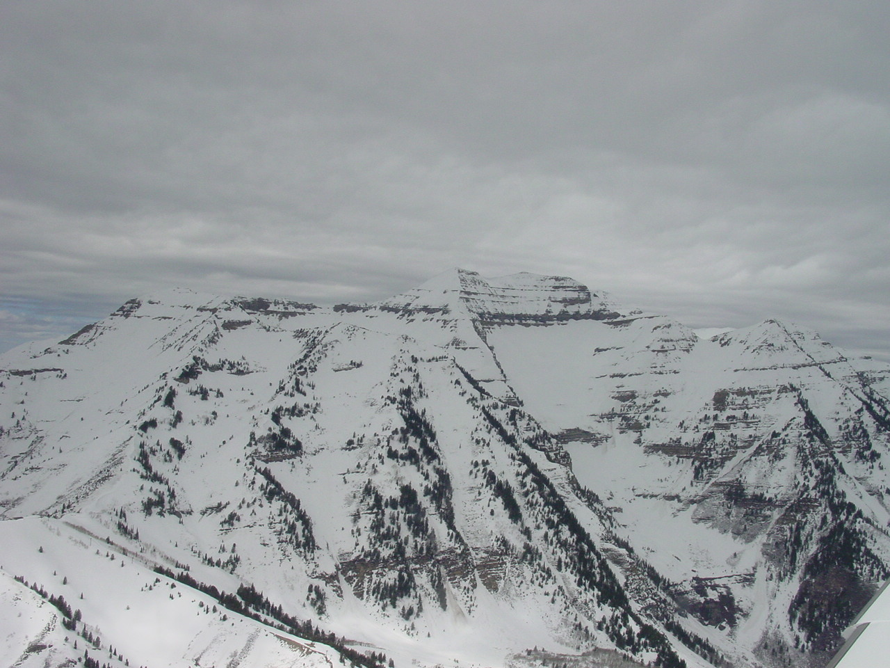
fbpx

Is Flying Through Snow an Icing Hazard?

There are a number of factors to consider carefully.

Question: Is flying through snow an icing hazard?

Answer: There is an opinion in the aviation community that flying through snow is not only an icing hazard but also against FAA regulations for pilots in aircraft without a certified ice protection system. Keep in mind that each weather system is unique, and there are many exceptions to the general view presented here.

Let’s discuss some of the many factors associated with flying through snow.

Snow falling out of the base of a cloud means there are fairly deep, saturated conditions aloft. To produce snow typically requires that the cloud top temperature (CTT) be sufficiently cold. That usually means a CTT of minus-12 degrees Celsius or colder—the colder the air, the more likely the precipitation type is snow. In this situation, ice crystals can dominate any supercooled liquid water in the cloud and lead to the development of snowflakes in the cloud aloft. If you are flying through snow below the cloud base, does that imply icing conditions exist? Just to be clear, this is not a discussion of flying in the clouds producing the snow but below the cloud base. 

Snow is considered visible moisture. It can be mixed with other precipitation types that may include rain, freezing rain, or ice pellets. In general, snow falling from the base of a cloud doesn’t represent a significant airframe icing hazard unless it is mixed with other types of precipitation such as freezing rain. It can be an issue with induction icing but not airframe icing. In the unlikely case that snow does adhere to the airframe, an exit plan should be executed. 

Outside of a mixed-precipitation scenario, snow is usually classified as wet or dry. Wet snow occurs when the static air temperature is at or above 0 degrees Celsius. That is, the snow falls into an atmosphere warmer than freezing and begins a melting process. Although liquid water doesn’t necessarily freeze at a temperature below 0 degrees Celsius, snow must begin to melt at a temperature warmer than that. If the temperature is warm enough, it will completely melt the snowflake into a raindrop before reaching the surface. You may have experienced this while driving in your car. You’ll see the wet snowflake splat on your windshield and quickly melt. Wet snow can begin to accumulate on grassy surfaces or other vegetation but usually melts quickly on other surfaces.

Moreover, because you are flying at an airspeed where kinetic heating occurs on the leading edge, even at a static air temperature of 0 degrees Celsius, snow will typically not accrete on the leading edges of the wings and horizontal stabilizer as a result of this kinetic heating driven by adiabatic compression. This is typically referred to as ram air rise. And certainly, with a static air temperature above 0 degrees Celsius, ice is very unlikely to accrete with the additional ram air temperature rise. In fact, even at a static air temperature of minus-1 or minus-2 degrees Celsius, accreting ice is difficult at best. Once the static air temperature gets colder than minus-3 C, then you are no longer dealing with wet snow since no melting is occurring.   

Certainly, wet snow can be problematic while taxiing. Or, if you pull your airplane out of a warm hangar, even dry snow will melt and begin to collect on some surfaces and may accumulate over time. It is recommended that you never depart with any of the aircraft surfaces contaminated, including wings and the horizontal stabilizer. Doing so may cause the aircraft not to develop the lift necessary to take off and climb, creating a risk of impact with terrain. 

Another metric to use is the Current Icing Product (CIP) found on the Aviation Weather Center website. CIP utilizes a recent three-hour forecast from the Rapid Refresh (RAP) model for parameters such as temperature, moisture aloft, supercooled liquid water content, and other useful model data. This is mainly to “seed” the forecast for these items, given that observational data is rather sparse throughout the atmosphere for these important parameters. Nevertheless, it combines this with surface observations, ground-based radar, pilot weather reports, satellite imagery, and lightning to produce an hourly analysis of icing probability, icing severity, and supercooled large-drop icing potential from the surface through 30,000 feet.  

CIP looks for information about the presence or absence of six precipitation types—freezing rain (FZRA), freezing drizzle (FZDZ), ice pellets (PL), rain (RA), drizzle (DZ), and snow (SN). A report of any of the first five means that altitudes below cloud base need to be considered for possible icing and SLD, because subfreezing liquid precipitation may be present. However, in an observation in which only snow is reported at the surface, ice crystals are clearly present beneath and within the lowest cloud layer, and those are not considered an icing threat, especially below the lowest cloud base. 

For example, if an airport is reporting an overcast sky at 2,500 feet and only snow is being reported, the CIP algorithm will remove any possible occurrence of icing from the cloud base down to the surface, regardless of what other sources may say. This is because snow not mixed with other precipitation types, such as freezing rain, is not seen as an icing hazard…even wet snow.  

Is it legal to fly through snow in an aircraft without a certified ice protection system? First you may want to read this letter from the FAA’s Office of the Chief Counsel. An excerpt  states: 

The formation of structural icing requires two elements: 1) the presence of visible moisture, and 2) an aircraft surface temperature at or below zero degrees Celsius. The FAA does not necessarily consider the mere presence of clouds (which may only contain ice crystals) or other forms of visible moisture at temperatures at or below freezing to be conducive to the formation of known ice or to constitute known icing conditions. There are many variables that influence whether ice will actually be detected or observed, or will form on and adhere to an aircraft. The size of the water droplets, shape of the airfoil, and the speed of the aircraft, among other factors, can make a critical difference in the initiation and growth of structural ice.

Yes, snow is definitely visible moisture, but will it adhere to the airframe? Dry snow is not going to adhere to the airframe while in flight. Wet snow, as mentioned above, is more of an induction icing or ground icing concern than airframe icing while in flight. 

Sometimes it’s not about airframe or induction icing. Flying through falling snow can also be very disorienting at times, especially when the snowfall is moderate or greater, or you are flying at night. It will often lower flight visibility to 3 sm or less and can make runways extremely slick. Landing while it is snowing on a snow-covered runway can lead to a flare at an altitude higher than normal, making for a hard landing.      

One last point. Often when snow falls into a fairly deep, dry layer below the cloud base, it can sublimate on its way down. This usually occurs with the onset of precipitation as a weather system approaches. Evaporation and sublimation are both cooling processes, and they will lower the temperature of the dryer air. An atmosphere that is a few degrees above freezing can lead to melting wet snow, and this process can quickly move the temperatures to below freezing, allowing for snow to reach the surface instead of melting.

Login

New to Flying?

Register

Already have an account?