How to Make Sure Your Cross-Country Hours Count
Measure twice, and it’s best if the distance is a bit past 50 nm.
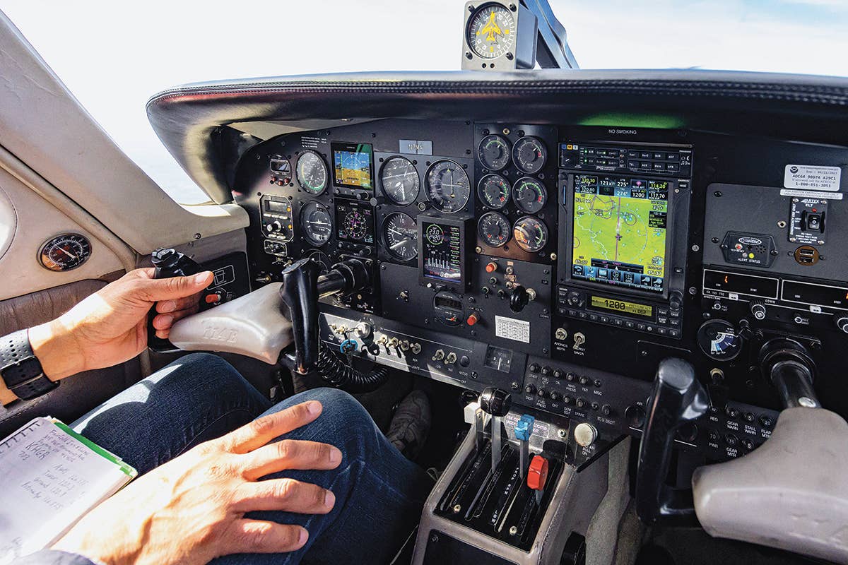
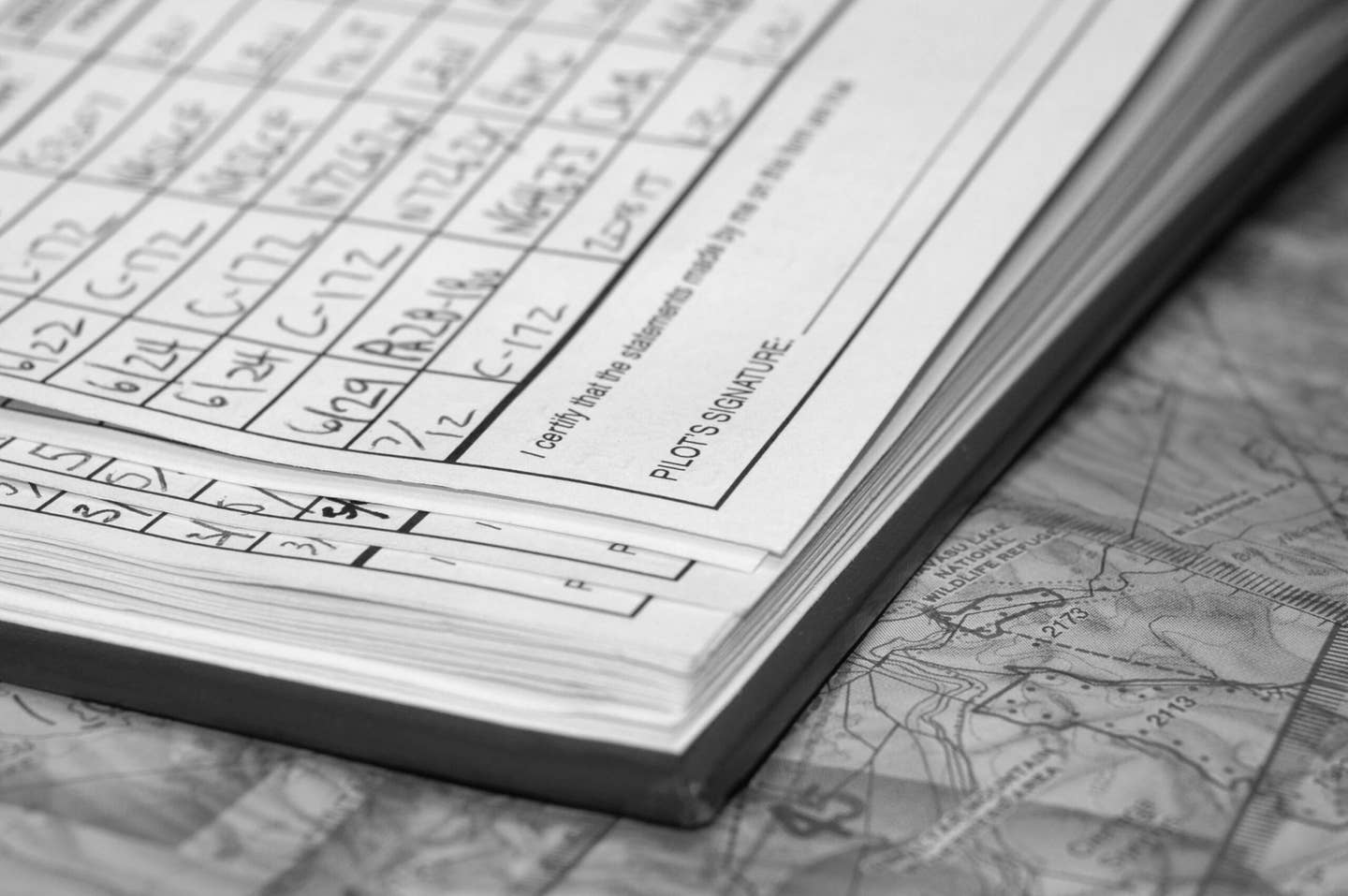
While modern avionics make cross-country flight easier, carry a current paper sectional with you and make sure you can read it. [Credit: Stephen Yeates]
Question: I'm a student pilot about to start my solo cross-country flights. I keep hearing horror stories about private pilot applicants who find out during their check ride that their cross-country time doesn't count because they measured wrong, or navigated by GPS only, or because they repositioned the aircraft to another airport to give them a 50 nm leg, and that is not allowed.
Is there a particular way the FAA wants the pilot to measure distances, navigate, and pick a route?
Answer: According to FAR 61.1(b)(ii), to meet the aeronautical experience requirements for a private pilot certificate, a commercial pilot certificate, an instrument rating, or for the purpose of exercising recreational pilot privileges, cross-country flight time must include a landing at least a straight-line distance of more than 50 nm from the original point of departure. Measure that with a plotter and paper sectional, and it's best if the distance is a bit past 50 nm—like at least 53 nm.
As far as navigation goes, FAR 61.1(b)(i) navigation for cross-country flights can be ded reckoning, pilotage, electronic navigational aids (GPS), radio aids (VOR), and other navigation systems. Keep in mind that many designated pilot examiners (DPEs) will fail the GPS or ForeFlight to test the applicant’s use of the more basic navigational skills.
Pro tip: Carry a current paper sectional with you and make sure you can read it. Andexpect to be told to divert to another airport during the check ride using the sectional as your guide.
As far as if it is legal to reposition an aircraft to an airport that is not a pilot’s home base, then use it as a starting point to give them a straight-line distance of more than 50 nm, we asked the FAA directly. The answer: Yes, it is legal to do this.

Subscribe to Our Newsletter
Get the latest FLYING stories delivered directly to your inbox

