Winter on Watch
Broad-scale weather patterns impact the Eastern U.S. in the colder months.
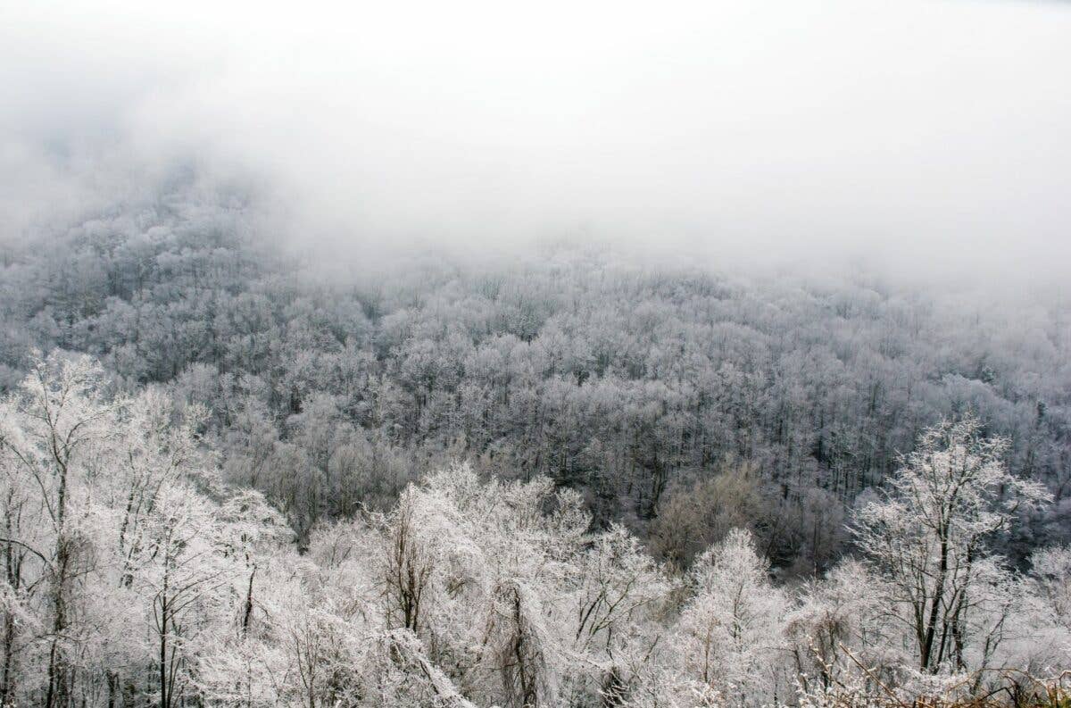
As the large-scale weather patterns transition from the hurricane season, pilots’ thoughts turn to colder events. [Adobe Stock]
Southeast Start
As convective SIGMETs morph into G-AIRMETs for airframe ice, pilots flying in the Southeastern U.S., including the southern Appalachians, should expect a marked change from summertime weather as the upper-air pattern amplifies, the fall colors wane, and the cold season approaches. October and November are what meteorologists call transition months as the jetstream migrates south out of Canada.
With each passing month during the winter, the in-creasing upper-level flow reaches well into the Deep South. The freezing level transitions from the lower flight levels in September to near the surface by the early part of December over a large portion of the northern tier of states—as forecast discussions are dominated by uncertainty about the precipitation type that will reach the surface.
This time of year, the weather is not as homogeneous as it was during the warm season. High temperatures in the Deep South may reach well into the low 80s and at the same time, you might find snow in the highest elevations of the southern and central Appalachian Mountains. Frontal systems and their potent upper-level features find their way further south, bringing wintry-type precipitation and icing conditions.
Although convection that meets SIGMET criteria is not as common in the Ohio and Tennessee valleys throughout the winter months, the Southeast and Gulf Coastal states will still experience an occasional outbreak of thunderstorms, including severe thunderstorms during this time. Unlike the summer afternoon thunderstorms, much of the convection that does occur can happen any time of the day or night.
Nor'easters
With hurricane season ending in November, the most significant weather events that plague the eastern quarter of the U.S. are called Nor’easters. While these can happen at almost any time of the year, they peak between October and April. The systems are well known to pound New England/the Mid-Atlantic with flooding rain, heavy snow, and ice—monster storms with an impact far beyond their host regions.
The main low pressure system in a Nor’easter deepens off the Cape Hatteras, North Carolina, coastline and that creates a high pressure gradient over a broad area. This rapid change in pressure ushers in strong and gusty northeasterly winds as cold air aloft, and moist air near the surface bring moderate to heavy upslope snow to the central and southern Appalachian Mountains. These weather systems are not entirely bad news as they give ski resorts their first opportunity for natural snow shortly after Thanksgiving.
The specific track of a Nor’easter is quite important in how it affects the Southeast. Sometimes a 100-mile difference in the track of this surface low pressure system may result in torrential rain, heavy snow, or freezing rain. These tracks are so important that meteorologists have developed specific classifications: Miller Type A and Miller Type B. The Miller classification is named after researcher J.E. Miller, who came up with this system in 1946, and it is still used today. The Miller A, or Type A systems, typically form off the coast of Georgia or South Carolina. They can also form as far south as the Gulf of Mexico during the middle of the winter with the low pressure system and attendant cold front passes through the northern peninsula of Florida in its early stages of development. Regardless of where Type A areas of low pressure originate, these storms tap into the warm waters of the Gulf Stream and intensify as they ride up the East Coast as a single area of low pressure before making a turn out to sea, eventually passing to the east of New Brunswick and Nova Scotia. During this time, they undergo a rapid intensification referred to colloquially as “bombogenesis,” where the central pressure drops at least 24 millibars over a 24-hour period and may bring blizzard conditions to the Northeast.
They typically move up the Atlantic coast rather quickly, hitting the Northeast, Mid-Atlantic, and central Appalachian Mountains the hardest. One example of a potent Miller A event was the Superstorm of 1993, also dubbed “The Storm of the Century,” which brought over 4 feet of snow to places like Mount LeConte, Tennessee, and Mount Mitchell, North Carolina. Birmingham, Alabama, and Knoxville, Tennessee, received more than a foot of snow, with Mobile, Alabama, measuring in at 3 inches. If that weren’t enough, several F2 tornadoes were spawned in the warm sector of this system in the Florida peninsula as the low tracked over the central Florida panhandle and then up along the east coastal plains of Georgia and the Carolinas.
Some Miller Type A low pressure centers that form in the Gulf of Mexico along the central Gulf Coast states may not make it to the Atlantic Ocean but instead ride up the spine of the Appalachian Mountains, creating what meteorologists call a cold-air damming (CAD) event east of the Appalachians. The typical set-up is a cold Canadian high pressure over New England where clockwise (anti-cyclonic) surface winds funnel in cold, moist air off the Atlantic Ocean. This cold, dense air hugs the surface and gets dammed up against the central and southern Appalachian Mountains. As this area of low pressure tracks further inland along the spine of the Appalachians, it transports warm air from the Gulf of Mexico that overruns the cold air wedged in at the surface.
You have a scenario where warm air sits over cold, subfreezing air. This sets up a classical ice storm as the snow melts when it falls into that warm air aloft and then falls into the subfreezing air near the surface. The result of this temperature profile is freezing rain or possibly ice pellets from Charlottesville, Virginia, south to Atlanta, Georgia.
Miller Type B is the second track of a Nor’easter. The origin of this storm is quite different, but it has a similar destination as the Type A. These weather systems originate over the Midwest and move into the Ohio and Tennessee River valleys. This initial low pressure weakens as it tries to cross the Appalachian Mountains and there’s usually a transition of energy from this parent low pressure to a newly formed low lee of the mountains, courtesy of a support system called an upper-level trough. This storm track is most likely to produce heavy rain and deep, moist convection to the southern Appalachians, but can dump heavy snow with blizzard conditions in the central Appalachian Mountains and highest peaks in North Carolina as well as the Mid-Atlantic.
Riding the Wave
While the Appalachians are not as majestic in comparison to the Rockies, Cascades, or Sierra Nevada Mountains, they do produce some formidable mountain wave activity during the cold season that will get your attention. The highest peaks in the Appalachian Mountain chain are in western North Carolina with Mount Mitchell topping out at an elevation of 6,684 feet msl. Although mountain waves can occur at anytime of the year, they are the most common beginning in early October and extending through the latter part of May.
Some mountain waves can be very turbulent, but most are not. This is especially true for waves produced downwind of the Appalachian Mountains. The flow over the Appalachians is often very laminar and does not usually produce any significant bumps within the wave itself. This is partly because the Appalachian Mountains do not have very steep faces as compared to the Rocky Mountains. Theory predicts that wave forcing is proportional to the terrain slope multiplied by the wind speed. This, in fact, works a little better than wind speed or direction by itself. Therefore, you will generally experience these non-turbulent lee waves as more of an upwash or downwash while flying in the mountain wave itself, causing the aircraft to gain or lose altitude, respectively. In the most severe scenario, you may have a difficult time maintaining altitude in the downwash—even when operating the aircraft at full power while operating near the stall speed. If you are flying IFR, ask air traffic control for a block altitude if you can’t hold your assigned one.
The Appalachians generally run south-southwest to north-northeast. So, the basic setup for a substantial mountain wave event is to get a 35-plus knot prevailing wind aloft just above the ridgeline with a west-northwesterly direction, which creates a perpendicular flow over the mountains. To create mountain wave activity, however, there’s another ingredient that is just as important as the wind speed and direction, namely, a stable layer just above the mountain peaks.
This setup occurs quite frequently during the cold season with the passage of a formidable cold front that swings through the middle and southern Appalachian Mountains. Cold, dense air from the upper Midwest gets ushered in behind the front. As this cold air pours in from above, it subsides and heats up through adiabatic compression and that creates a stable layer or inversion above the mountain range. This combination of wind and temperature profile creates the perfect environment for trapped lee waves.
Most of the trapped lee waves in the Appalachian Mountains have a vertical extent of about 12,000 feet msl. As explained earlier, the flow aloft is generally laminar and non-turbulent. It’s a good idea to keep an eye out for any pilot weather reports of moderate or greater turbulence. If the mountain wave activity becomes turbulent and severe, it will likely prompt the forecasters at the Aviation Weather Center to issue a SIGMET for severe or extreme turbulence. Again, most of the time, this will be issued for turbulence below 12,000 feet.
However, when the stable layer above the ridgeline is rather weak, these waves can propagate vertically well into the troposphere and may break, creating nasty clear air turbulence well into the flight levels. Although vertically propagating mountain waves are more common downwind of the Rockies, it is a rare event in the eastern U.S. Again, keep a close eye on pilot weather reports and any SIGMETs that are indicative of a wide-spread event.
If the air is relatively dry, it may be impossible to visually determine if mountain waves are present. However, when there is sufficient moisture available, these waves show up nicely on the visible or infrared satellite image. Essentially, clouds form in the crests of the wave where the air is rising, and the air is clear in the trough of the wave where it is descending. This gives the satellite image its characteristic rippled appearance as can be seen in western North Carolina, northern Georgia, and western Virginia. Given that the mountains producing the waves are stationary, the waves are also stationary. So, these are also referred to as standing lee waves or trapped lee waves.
Crosswind Competency
When the opportunity arises, it is a good idea to get out and practice a bunch of crosswind landings with your instructor and knock the rust off. The surface winds are much stronger during the cold season, making for challenging approaches, especially when landing at mountain airports where the winds can be rather chaotic over the ridges. When a strong cold front passes and the winds shift around from the northwest, they can be strong and gusty. Depending on the airport runway configuration, you may be faced with a crosswind component that exceeds your personal minimums.
Even though the cold season has its inherent challenges, density altitude is not one of them. You must dress for cold weather, but it can be one of the most enjoyable times of the year to fly. The crisp, clear autumn air dominates the area, providing for 50 or more miles of visibility at times. With the cold, dense air and strong surface winds, this allows you to depart from much shorter airfields than you might negotiate when the temperatures are in the upper 90s. As winter turns into spring, convection will once again rear its ugly head with most of the convective SIGMETs being issued in the Deep South and spreading north into the early spring. It’s not unusual for this convection to be severe, including the potential for strong straight-line winds, large hail, and tornadoes. The freezing levels will stay low, making convective airframe ice a major concern. Convective icing is typically covered by convective SIGMETs, but you won’t see it covered by G-AIRMETs for ice. Late-season, large-scale weather systems can be aggressive so it’s important to keep that big weather picture in mind.

Subscribe to Our Newsletter
Get the latest FLYING stories delivered directly to your inbox

