Only Assumptions Can Be Made About What Took Down a Curtiss C-46 in Alaska
Shortly after the airplane named ‘Maid of Money’ took off in December 2000, snow began to fall, and winds picked up to 50 knots.

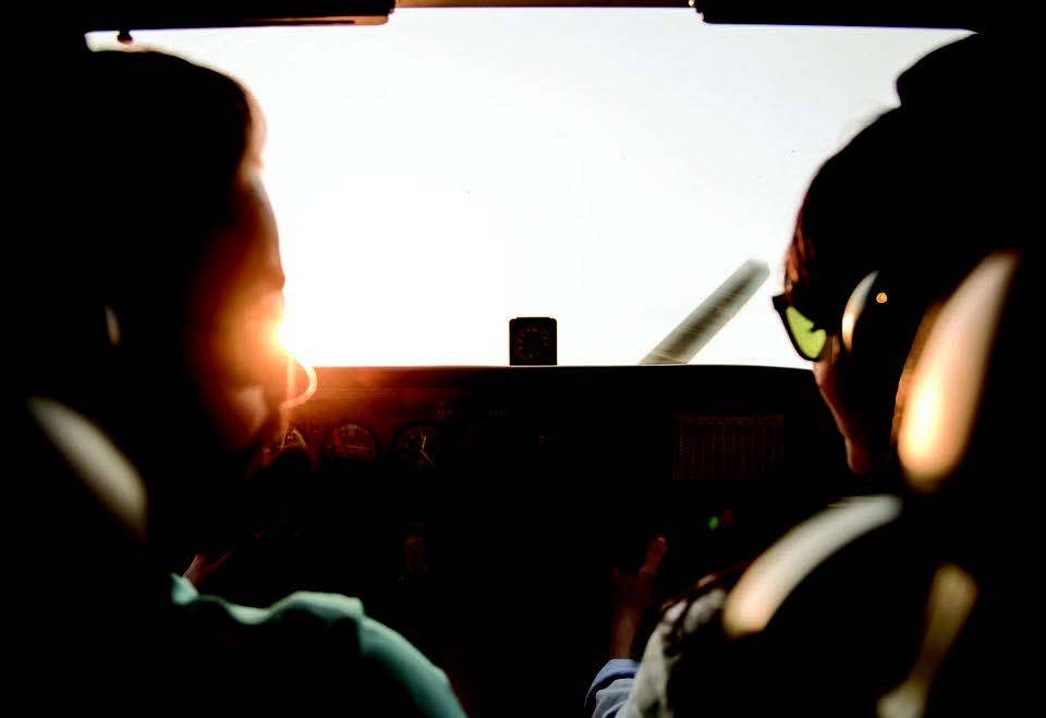
Actually, it would be difficult to define the main problem for pilots flying in Alaska. There are so many of them. [iStock]
According to a recent report from Alaska Public Media, that state’s rate of fatal general aviation accidents was about twice that of the rest of the country until 2016 when, for unspecified reasons, it began to decline. It still remains higher than elsewhere. The gist of the article—which was motivated by the death of Eugene Peltola, husband of U.S. representative Mary Peltola, in a Piper Super Cub—was that the main problem for Alaskan pilots was lack of weather information, since the density of automated weather reporting stations in the state is half that of other parts of the country.
Actually, it would be difficult to define the main problem for pilots flying in Alaska. There are so many of them. And there is an additional problem that is created by the sheer existence of all the other problems: a certain style of flying and acceptance of risk arising from the combination of urgency and improvisation that backcountry operations entail.
If you're not already a subscriber, what are you waiting for? Subscribe today to get the issue as soon as it is released in either Print or Digital formats.
Subscribe NowIn December 2000, a Curtiss C-46 called Maid of Money—a twin-engine World War II-era transport similar to, but larger than, a DC-3—collided with a mountain ridge. It was destroyed and its two pilots killed. The airplane was returning from a round-robin trip out of Kenai delivering fuel to Big River Lakes and Nondalton. It left Nondalton, empty and light, at about 15:40 local time, bound for its home base 113 nm distant. The flight would take it eastbound across the Alaska Range and then across Cook Inlet, a body of water about 30 miles wide. The winter sun was setting, but darkness was still far off, so the flight would take place in the lingering Alaskan twilight.
- READ MORE: A Night Flight Leads a Pilot to a Tragic End
There are two ways to fly from Nondalton to Kenai. One, through Lake Clark Pass, follows a river and allows low-altitude VFR flight under an overcast, preferably in stable weather. (The crew may have used the Lake Clark Pass route to fly from Big River Lakes to Nondalton.) The other is the straight line over the Alaska Range, whose highest peak, Mount Redoubt, an intermittently active volcano, rises steeply to more than 10,000 feet. Most of the terrain in the area, however, although quite rugged, is lower than 4,000 feet.
The pilots, both of whom had logged more than 600 hours in the C-46 in just the past five months before the accident, must have known the route intimately. They had briefed the weather for the out-and-return flight and were aware of an AIRMET for turbulence and mountain obscuration. Nondalton and Kenai were VFR, but as they prepared to depart, the pilots must have seen that the weather was rapidly worsening. Shortly after they left, snow began to fall, and the surface wind picked up to 50 knots. A person living 30 miles south of the accident site described the storm as the worst he had seen in 25 years. The conditions were not ones in which the Lake Clark Pass would have been a good choice, so the C-46 took the straight shot over the mountains instead.
The crew did not file an IFR flight plan. Its transponder failed to deliver any Mode C information, but Air Force radar evaluation specialists concluded that the airplane had climbed to a maximum altitude of 10,800 feet msl and subsequently descended. The last altitude that could be determined was 8,800 feet. The National Transportation Safety Board’s report does not say where along the route these altitudes were measured.
We don’t know what the pilots saw or did along the way. They may have circled to climb, or they may have had a strong easterly headwind, because when the accident occurred, around 16:20, they had gone only 70 nm in 50 minutes. Mount Redoubt would have been abeam as they approached the accident site, and so if they climbed to 10,800 feet and didn’t stay there, it may be that they were on top and could see the tip of the peak and the clouds dropping away ahead of them. It is also possible, however, that they were in cloud, on the Kenai 227 radial, and uncertain how far they had come. The NTSB report states that the airplane was equipped for IFR flight but does not say whether it had GPS or DME. Still, the Homer VOR, 50 miles away on their right, could have provided cross-track guidance.
One thing that seems obvious is that the crew must have been in cloud when it hit the ridge at 2,900 feet msl. To judge from the condition of the wreckage, the pilots were at cruising speed, and if they had been a few yards higher, they would have cleared the ridge without ever knowing how close they had come. They were under a Victor airway, but all the minimum safe altitudes in the area were above 12,000 feet, and so they may have felt that the risk of meeting someone else in the clouds was negligible. The fact that the transponder was not reporting altitude is suggestive, but who knew that some Air Force boffins in Utah could somehow extract posthumous altitude information from raw radar returns?
That they descended so low—2,900 feet—when they were still 43 miles from Kenai is hard to explain. They evidently didn’t know their position. Kenai was reporting 2,000 scattered. Perhaps they wanted to get below clouds covering the western side of the inlet so that they could make a plausible case, in the event that someone asked, that they had been in VMC all along. Perhaps they misread the radial from Homer that would mean they were safely over water. Perhaps they did not consult a sectional and forgot that there was one more little ridge before the shoreline. Perhaps they had flown this route so many times before, in so many kinds of weather, that they had lulled themselves into a feeling that nothing could go wrong and began the descent after a certain time had elapsed, as they had countless times before, without checking the Homer radial at all.
In all flying, we rely on certain assumptions: Engines will keep running, weather will be as reported or forecast, and insurgents will not have seized the runway. Gradually, pilots who fly certain routes over and over again develop a sense of what to expect. As “old hands,” they have a sixth sense about what lies beyond the next mountain ridge or bend in the river. Assumptions begin to take the place of up-to-date information.
Lacking CVR records, we cannot know what the C-46 pilots were thinking or saying to one another, or whether they even discussed the question of when to start the descent. But it’s not too hard to imagine a pilot glancing at his watch 40 minutes into what would normally be a 50-minute flight and saying, “Let’s start down.” After all, who ever heard of a C-46 making a groundspeed of only 84 knots?
Editor’s Note: This article is based on the National Transportation Safety Board’s report of the accident and is intended to bring the issues raised to our readers’ attention. It is not intended to judge or reach any definitive conclusions about the ability or capacity of any person, living or dead, or any aircraft or accessory.
This column first appeared in the December 2023/Issue 944 of FLYING’s print edition.

Subscribe to Our Newsletter
Get the latest FLYING stories delivered directly to your inbox


