A Closer Look

It’s common to auto-fill the alternate box with a nearby airport that meets legal weather and fuel requirements. But sometimes, a better alternate can be found nearby.

Gemini Sparkle

Key Takeaways:

  • Thorough alternate planning should extend beyond legal minimums, proactively considering logistics like ground transportation and exploring multiple weather-beating options during pre-flight.
  • Rushing approaches, misinterpreting visibility requirements (statute vs. nautical miles), and failing to maintain precise flight parameters significantly increase the risk of missed approaches.
  • Pilots may need to dynamically re-evaluate and discover new, more suitable alternates mid-flight through deeper chart analysis when initial plans fail and weather deteriorates at planned destinations.
  • The scenario emphasizes that comprehensive alternate planning and precise execution are crucial for IFR safety, rather than treating alternates as a mere administrative task.
See a mistake? Contact us.

Alternates often get brushed off as an administrative task. If the weather’s good enough, you don’t legally need one under the ol’ 2000-3 rule of §91.169(b). Or, should one be required when filing that flight plan, it’s usually a nearby default with an ILS, so long as it meets the 600-2 rule, §91.169(c). This usually works out fine since you rarely divert. But if you do, it might help to look deeper, lest you miss out on a better way to escape the weather and get on the ground.

Plans A and B

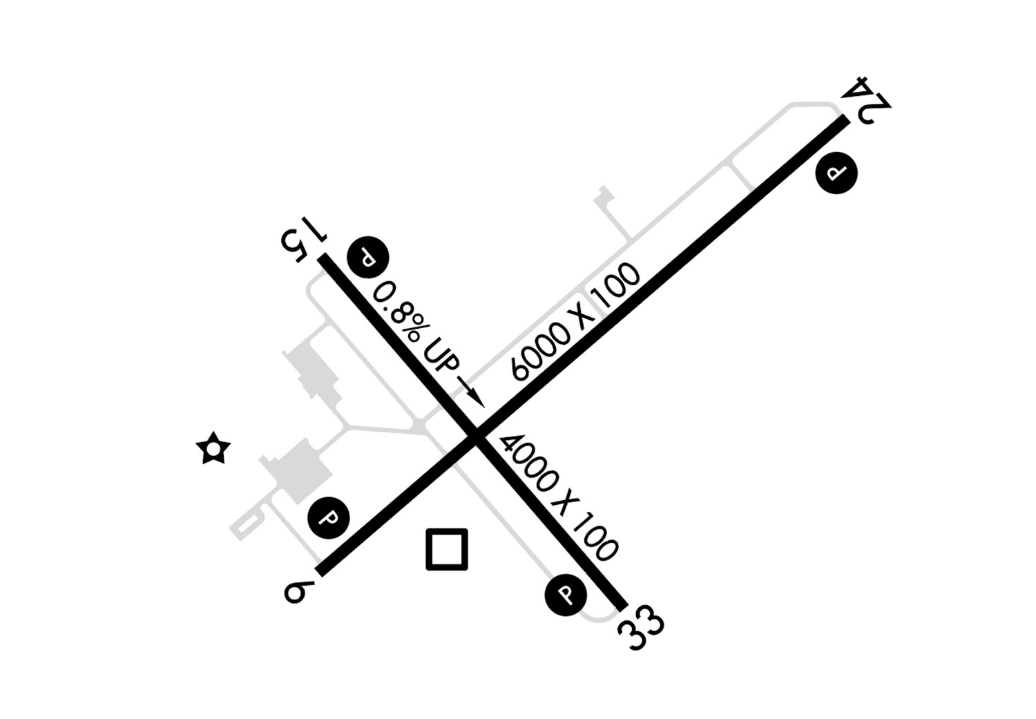
Off you go eastbound to Jamestown, New York, in kind of a hurry—weather will get down to the bottom line, and you need a decent alternate that has a car so you can still make your business lunch. The good news is that standard ILS and LPV approaches await at KJHW, elevation 1723. The bad news is that those are reserved for Runway 25. Today’s TAF has winds favoring Runway 7 or 13, and those aren’t as well equipped; they have RNAV procedures with LNAV MDAs of 2120 and 2140 feet respectively. So stick with 7; its MDA is a tad lower and the runway’s longer. Ceilings and visibility will drop to 400-1 after 11 a.m. local. So you decide to shorten your first meeting at the office, knowing there’ll be no complaints. This allowed you to depart an hour ahead of time for the three-hour flight.

Droning along at 9000 feet between cloud layers, you had ample time to fret about the weather at Jamestown, which so far held at 500-2 but is likely to go lower. The biggie is getting the published one-mile visibility, which is governing under §91.175(c). How’re you gonna determine if you have a mile? 

There aren’t any lead-in lights for this runway, so use the GPS mileage countdown to mark one mile from the threshold. If you see it and the approach is stable, continue—but be sure that after passing EWUHY, you descend and level off at MDA before the runway, not via the GPS-calculated glidepath to the threshold, because you’d rather have time to break out and decide. Making a 1.1-NM point on the final path will provide a few seconds to level off and determine visibility; be ready to continue or miss and configure accordingly. This will also reduce the often strong temptation to continue below MDA with the perceived safety of runway below you, even if conditions are too low.

But then you remember—your GPS, of course, displays distance in nautical miles. Visibility requirements on the approach charts are in statute miles. So, rounding conservatively, the approach visibility is 0.9 NM from the runway. But, in the comfort of your armchair you once calculated that the “magic” 300 feet per nautical mile three-degree descent rate is more than four degrees at one statute mile, and that’s a bit too high a descent rate. So, you’re back to 1.1 NM for normal maneuvers.

The alternate is Erie (KERI) to the west. Since you don’t have loads of fuel to divert much further, you break your personal alternates minimum of 1000-3. Erie will just qualify for the legally required 600-2, using the ILS or RNAV 6 approach, which both go down to 982/24. Happily, these are the lowest procedures at KERI and much better than Jamestown. 

You certainly don’t expect anything nearing 2400 RVR—well less than a mile and good enough for your purposes. (You really oughtta have the Terms/Landing Minima table in the Terminal Procedures publication handy. It’ll tell you that 2400 RVR converts to 1/2 mile flight visibility.) You also calculated there’s an extra 15 minutes of fuel available to squeeze in a second approach at Jamestown after accounting for reserves required in §91.167. Equipped with a fuel totalizer, you’re confident you can closely monitor fuel burn while tracking flight time.

Too Fast, Too Late

At least the missed approach at Jamestown is simple: Straight out to 4000 feet to OYNEM and hold. Once cleared for the approach from IXFAQ, you descended to the TAA of 4000 feet and ensured the GPS is doing its job. While Runway 7 lacks precision markings and lighting like 25 does for the ILS, turning on the runway lights and looking for the four-light VASI will help, you hope. 

At EWUHY, where you’ve descended to about 1700 feet above the surface, you can see a bit of road and trees right below, but nothing else. Plus, you fell into the rush-to-land trap and flew 10 knots above your prescribed approach speed of 100. The result is your carefully calculated descent rate of 600 feet per minute was too flat to level off before the mile mark, leaving you 80 feet above MDA and nothing to see ahead. So you start the missed approach: full power, pitch for climb, retract some flaps. 

Just then the runway lights and the VASI zoom by under the left wing, but that’s no good. Fortunately, Approach is spring-loaded and fires back an easy vector at your request for another RNAV 7 approach. While leveled out at 4000 feet, you do remember to slow down (gotta conserve fuel!) and do a quick de-brief. Based on your low-ish pass, the conditions are a touch above minimums and you could see the end of the 5300-foot runway, and there was runway behind you when you saw it. That should be enough, if flown just right.

And Again

The second approach goes way better with airspeed and descent rate on target. At 2120 feet and 1.1 NM, you see the VASI but nothin’ else. Legal to continue below MDA? While a show of hands might say yes, and would be legally correct per § 91.175(c)(3)(vi), you really want paint or pavement, not just a light shining through the mist. Besides, flight visibility as defined in 14 CFR §1.1 talks about the ability to see prominent unlighted objects in the day. Like many regs this is open to interpretation, but “prominent unlighted” is pretty clear. So ideally, it’s runway numbers or something to help in the IMC-to-visual transition, not just a light off to the side. 

Do you fly the approach a third time, or divert to KERI? Is §91.167 moot? You planned for legal fuel reserves plus enough for a second approach at KJHW, and the totalizer says you’re five gallons ahead, for about 25 minutes of cruise and enough for an yet another approach. 

Hmm … this is where a fuel-sipping hold could help, but the forecast was for worse, not better, weather, and although you burned the first approach with that speed error, your odds of a third missed approach are high. You and the airplane would need enough juice for a fourth approach elsewhere, and both are in the yellow zone. You ask for a vector pointing to Erie and updated weather. Erie’s down to 400 feet, half mile, from an unforecasted shower. This would be a good time to hold. But the chart reveals Dunkirk, New York. It’s closer, and just to the north. Good news: The RNAV 15 goes to 1140-1. With a touchdown zone elevation of 684 feet, 500-1 will be the minimum and it’s now (yay!) 700-3.

The bad news: Most of the approach will take you out over Lake Erie (and maybe even into Canada) at 3200 feet. Look at the charts for KDKK again. Runway 33 straight-in and circling MDAs are too high. But there are two more procedures, a GPS-A and GPS-B. The first one, interestingly, tracks inbound to 24. The GPS-B, even more interestingly, has an inbound course of 059 degrees, or Runway 6. You request a northwesterly heading to explore this further. 

While it’s still technically a circling MDA of 1200 feet, there’s nearly six miles from the FAF for a comfortable descent rate, using a glidepath to the threshold this time. As there’s a note for “Visual Segment – Obstacles” on the approach, you do want the “prominent unlighted” rule to hold true. As a bonus, the IAF, CRYST, is just to your northwest. You ask for a direct-to clearance. Now the alternate planning rules are moot, too. Ten minutes later you break out well before the runway with everything unlit quite prominent. 

There’s the matter of driving to Jamestown, but it turns out the same FBO name has rental cars at Dunkirk, too (head smack here). That was just plain luck, but could’ve been a brilliant plan had you bothered to view a bigger picture on alternates, checking on logistics from home. And the flight briefing included planned changes to your own minimums, but you almost broke more of your rules in the rush. Maybe one less approach and one more alternate works better on a day like this. 


Elaine Kauh is a CFII in eastern Wisconsin. Her personal minimums at any destination include fresh coffee, a courtesy car and a lunch spot that has omelettes all day.

Ready to Sell Your Aircraft?

List your airplane on AircraftForSale.com and reach qualified buyers.

List Your Aircraft
AircraftForSale Logo | FLYING Logo
Pilot in aircraft
Sign-up for newsletters & special offers!

Get the latest stories & special offers delivered directly to your inbox.

SUBSCRIBE