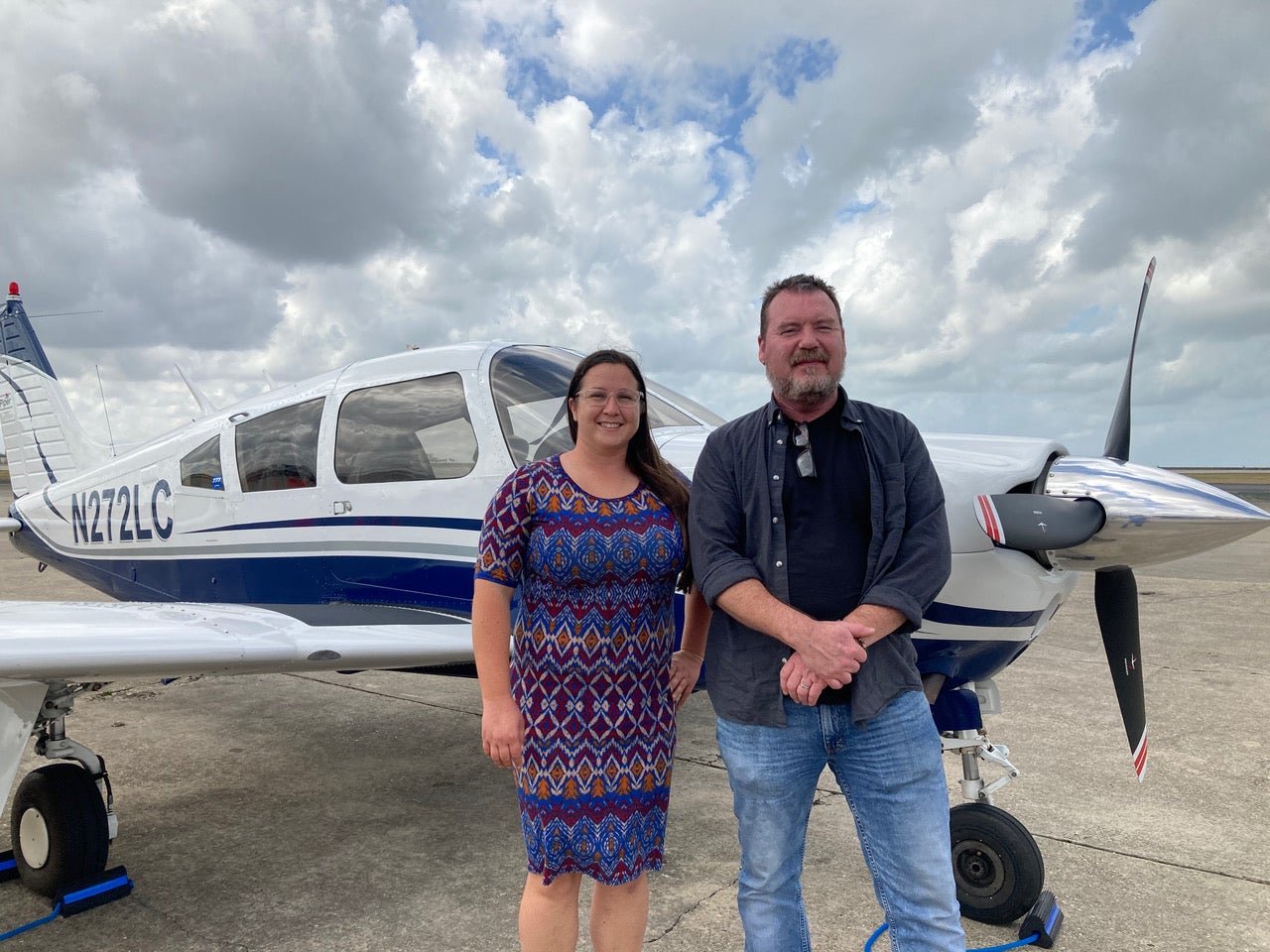
A glance at the Garmin GNS 430 display indicated that a westerly course change was about to be directed via GPSS to the S-Tec autopilot. I sat with arms folded in the left seat of my Piper Arrow, a content grin on my face even at our altitude of 1,500 feet. I continued my vigilance—or maybe paranoia—in scanning the earth below, considering potential emergency landing spots. A water landing was always a possibility; fortunately, it was relatively shallow here.
We were just underneath a broken stratus layer, dancing along a small section of the Louisiana coastline at the fringes of the Gulf of Mexico. How many times had I flown over this area in transit to Florida at FL 390 with nary a second thought about its significance?