fbpx

Is the Shift in Tornado Alley Related to Climate Change?

From year to year there may be a stark contrast in where severe weather strikes, especially thunderstorms that produce tornadoes.

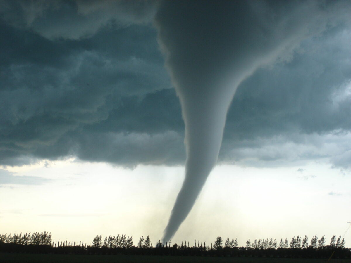
Question: It seems there have been more significant severe weather events that include tornadoes happening in the Deep South, especially in Louisiana, Mississippi, and Alabama rather than in the traditional location of Tornado Alley. Is this driven by climate change?  

Answer: The short answer is yes. Tornado Alley has had a bad reputation over the last couple of decades, however. Although there has never been an official designation of where Tornado Alley is located, it is the area that is roughly approximated by the central and southern Plains from Nebraska to north-central Texas. 

There has been some debate that Tornado Alley has been shifting to the east over the last couple of decades. But it is more likely that Tornado Alley isn’t shifting but rather expanding to the east. 

Annual average of tornado watches per year over the last two decades shows a hotspot in the lower Mississippi Valley to include Louisiana, Mississippi, Alabama, and the extreme western panhandle of Florida. [Courtesy of NOAA.]

From year to year, there may be a stark contrast in where severe weather strikes, especially thunderstorms that produce tornadoes. That is, there may be two or three years in a row where significant tornado events are focused more in Tornado Alley and other years where they are focused in the Ozarks, mid-South, and Tennessee Valley. This year-to-year variation happens for a variety of reasons, but climate change will continue to expand where supercell-type thunderstorms develop and produce significant and destructive tornadoes.  

Scientists are studying how anthropogenic climate change (ACC) is affecting the location of severe weather. This climate change originating from human activity is causing a change in the location of where many supercell thunderstorms originate. 

Supercells are storms that are distinguished from ordinary pulse-type convection by its deep, long-lived mesocyclone, which has a rotating midlevel vortex with a diameter between 1 and 5 miles and a vertical depth of at least 6,000 to 10,000 feet. While many supercells are individually separate and distinct, others may be embedded within larger complexes of thunderstorms or what are called mesoscale convective systems. Relatively rare, some supercell thunderstorms can persist for four or more hours.

The mean number of tornado days per year of tornadoes rated as EF2 or greater within 25 miles of a point from 1986 to 2015. This has a maximum of 3.5 to 4.0 well east of Tornado Alley. [Courtesy: NOAA and the Storm Prediction Center]

The greatest concern is that as the trend in tornado environments from supercell-type convection expands to the east this will undoubtedly increase the exposure and vulnerability of people in these areas. In other words, with socioeconomic vulnerabilities projected to rise in the Ozarks, mid-South, and Tennessee Valley, the likelihood of more impactful tornado events in these regions is certain for the remaining decades of the twenty-first century.

The best approach is to remain weather aware and to pay close attention to the Storm Prediction Center (SPC) convective outlooks. These include a one-, two-, and three-day categorical outlook of severe weather along with a forecast discussion.

The Storm Prediction Center (SPC) Day 2 categorical convective outlook showing an enhanced risk for severe thunderstorms in northeastern Texas. [Courtesy: Storm Prediction Center]

In addition, the SPC issues a probabilistic forecast for severe weather specifically for the potential of tornadoes, strong straight-line winds, and large hail. While some of these probabilities can look quite low, don’t be fooled. 

According to the SPC, “If you have a 15 percent probability for tornadoes, this means you have a 15 percent chance of a tornado occurring within 25 miles of your location. This may seem like a low number, but a tornado is very uncommon at any one location. Normally, your chances of getting hit by a tornado or other severe weather are small, purely based on statistical average. Let’s say you have a 1 percent statistical (climatology) history of tornadoes within 25 miles on this day, which still is large. Having a 15 percent probability means 15 times the normal odds of a tornado nearby, meaning it should be taken seriously.”

The SPC probabilistic tornado outlook shows a 5 percent risk of thunderstorms that may produce tornadoes. [Courtesy: Storm Prediction Center]

Once severe convection is likely, the SPC will issue a severe thunderstorm or tornado watch for heightened public awareness. Once tornadoes are seen by trained storm spotters or are indicated by the Nexrad Doppler weather radar, tornado warnings are issued for you to seek immediate cover. 

Do you have a question about aviation that’s been bugging you? Ask us anything you’ve ever wanted to know about aviation. Our experts in general aviation, flight training, aircraft, avionics, and more may attempt to answer your question in a future article.

Login

New to Flying?

Register

Already have an account?