Combining Transportation Themes: Five Airports Near Major Rail Trails
Taking your bike in the airplane creates opportunities to explore.
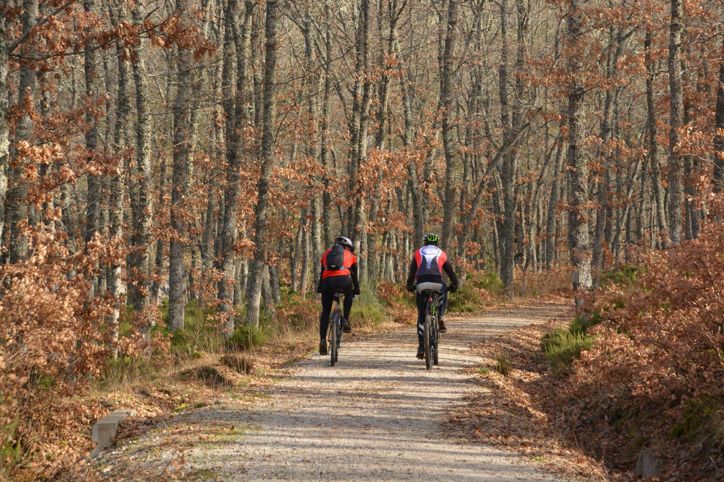
Rail trails are an ideal way to travel long distances with minimal traffic. [Shutterstock]
It feels good to fly directly to a destination without having to rent or hire a car to travel the “last mile” to the specific attraction you want to visit. Sometimes you are lucky enough to find an airport that is right in town or just walking distance away. But when you need to go a little farther, a folding bicycle can be a better answer than a car.
Once considered odd and ungainly, these mechanical wonders have come into their own, providing speed, good handling, and light components that will not eat unreasonably into your useful load. Many fit handily into a small aircraft’s baggage compartment.
After you pair the airplane and bike, you should make the most of the combination by finding rail trails to explore. The rails-to-trails movement has been underway for decades and the results are often stunning. Trail networks across the country, following former railroad rights of way, are ideal for bicycling, especially if you like riding long distances without steep hills.
Below are a few examples of interesting, scenic trails and airports that offer easy access.
Leesburg Executive Airport (KJYO)
Washington & Old Dominion Railroad Regional Park
Shirlington to Purcellville, Virginia
45 miles
This route opened in 1860 as the Alexandria, Loudoun & Hampshire Railroad, which competed for regional commerce with the rival Baltimore and Ohio Railroad. The railroad used to carry goods from farms to the port at Alexandria, and the trail’s surroundings vary from urban areas to countryside. As rail trails go, this is an old one. It opened in 1974, just six years after the rail line shut down. Today, it is a popular recreational route for runners, skaters, bicyclists, and for bike commuters, including groups of schoolchildren. An adjacent 32-mile gravel trail accommodates equestrians.
Greene County/Lewis A Jackson Regional Airport (I19)
Little Miami Scenic Trail
Springfield to Newtown, Ohio
78 miles
Ohio’s Miami Valley is home to a vast network of trails including the Little Miami Scenic Trail, which is the state’s longest. The trail is largely shaded and there are many places that are worth a stop along the way, such as two state parks—the John Bryan and Caesar Creek—which can be reached from the trail. Of particular interest is Xenia Station, a replica of the town’s 1880s train station that is the meeting spot for four trails and a center for bicyclists. Further south, where the trail follows the Little Miami River, you can visit the Fort Ancient state historic site.
Brainerd Lakes Regional Airport (KBRD)
Paul Bunyan State Trail
Brainerd to Bemidji, Minnesota
115 miles
As with many rail trails, especially the longer ones, visitors flying in can choose among a number of airports. If you would rather start at the Bemidji end of the trail, you could land at Bemidji Regional (KBJI). Towns along the trail are steeped in the history of the railroad and logging industries, and many are popular vacation destinations and trail entry points today. This is Minnesota, so the trail provides connections to many miles of groomed snowmobile trails in the winter.
Council Bluffs Municipal Airport (KCBF)
Wabash Trace Nature Trail
Council Bluffs to Blanchard, Iowa
63 miles
If you enjoy exploring ghost towns, this trail has a lot to offer, including the remains of several towns and settlements that sprouted with the railroad’s arrival in the 1870s. The trail follows a former section of the Wabash Railway’s main line. The railroad grew into a network of more than 2,000 miles and became renowned because of the popular folk song “Wabash Cannonball.” Attractions along the trail include numerous museums, art galleries, restaurants, and shopping.
Coeur d'Alene Airport - Pappy Boyington Field (KCOE)
Trail of the Coeur d’Alenes
Location: Mullan to Plummer, Idaho
73 miles
This paved bike path spans the Idaho panhandle following the Union Pacific Railroad right-of-way from the mountain mining town of Mullan, near the Montana border, to Plummer, a prairie town close to the Washington border. The trail winds through the historic Silver Valley, along the Coeur d’Alene River, past Lake Coeur d’Alene, over the oft-photographed Chatcolet Bridge, through Heyburn State Park and up to the Palouse prairie and rolling farmland. The trail is well-maintained and features restrooms and wayside rest stops.

Subscribe to Our Newsletter
Get the latest FLYING stories delivered directly to your inbox

