











We love moving maps, be they in the panel or on the portable. Just remember that they don’t always show all the airspace, or even show it in the same way.
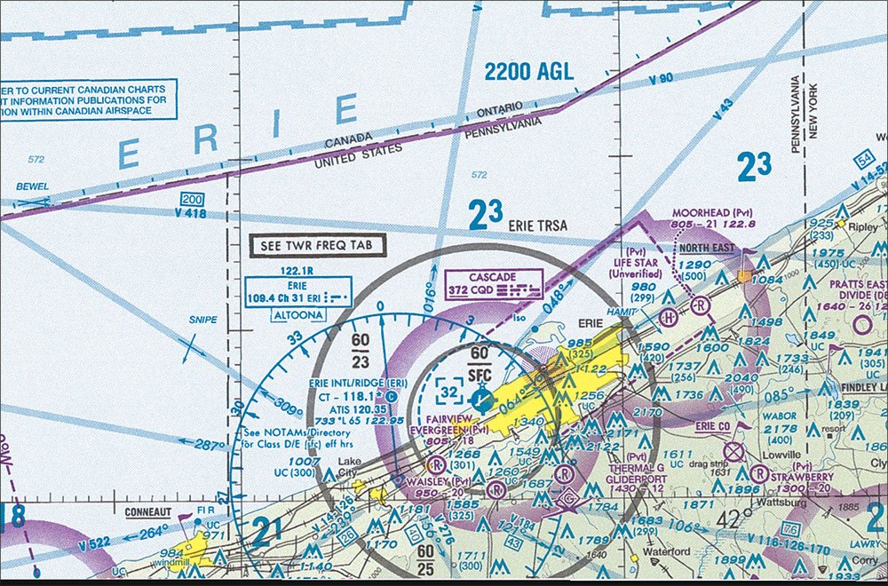
Varied TRSA Depictions
In-betweens are always tough, and have the potential for trouble. Flying some IFR practice in VFR conditions is a perfect example. Youre emulating one set of rules (IFR) but youre actually bound by another set (VFR). There are all sorts of potential traps here: maintaining cloud clearances, conflicting with traffic youd normally be separated from, and blundering into airspace without the required communication or permission.

Key Takeaways:
- Terminal Radar Service Areas (TRSAs) are unique airspace areas, similar to Class C, where participation is voluntary, but accepting ATC services (like a squawk code) makes compliance with instructions mandatory.
- The depiction of TRSAs varies significantly; they are shown on VFR Sectional charts but not IFR en route charts, and digital mapping systems and moving maps often show them inconsistently, omit them, or change their visibility with zoom levels.
- Pilots are encouraged to utilize TRSA services for traffic advisories and practice vectors, as it offers safety and training benefits, but must be diligent in verifying how TRSAs are depicted on their specific navigation tools due to inconsistent mapping.
Key takeaways sponsored by Aviator Pro | Start Your Training ->
See a mistake? Contact us.

