
Our December 2023 issue introduced some Aviation Weather Center charts and discussed how to work up a complete diagnosis of the weather. Last October, the Aviation Weather Center overhauled their website and introduced a new series of charts. Using these updated graphics, we’ll discuss surface maps in more detail. Hopefully by the end of this article we will make you an expert at reading surface charts and maximizing the information you get from them.
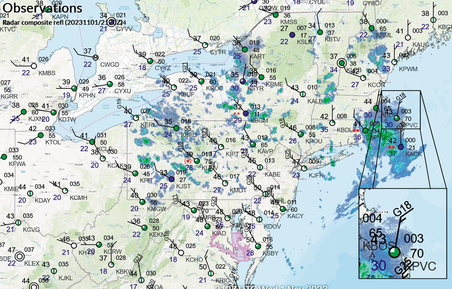
And it’s time well spent, because we’re in the era of digital data, where pilots are exposed to countless different kinds of weather information. The surface chart is a core chart where the weather briefing begins, and it represents the highest level of availability of “hard data” available to both forecasters and pilots. It is easy to understand and is never more than an hour old. Next to radar and satellite, it’s the best tool you can use.
