
Sliding into the winter months, VMC gets a little bit more difficult to find. All pilots end up digging into their toolbox of weather resources to avoid the clouds and precipitation. METAR and TAF reports help out a lot, but one of the longtime favorites for this problem is weather satellite data. Of course to make the most out of this tool we need to understand a little more about the satellites we have available and how they collect the data.
How It Works
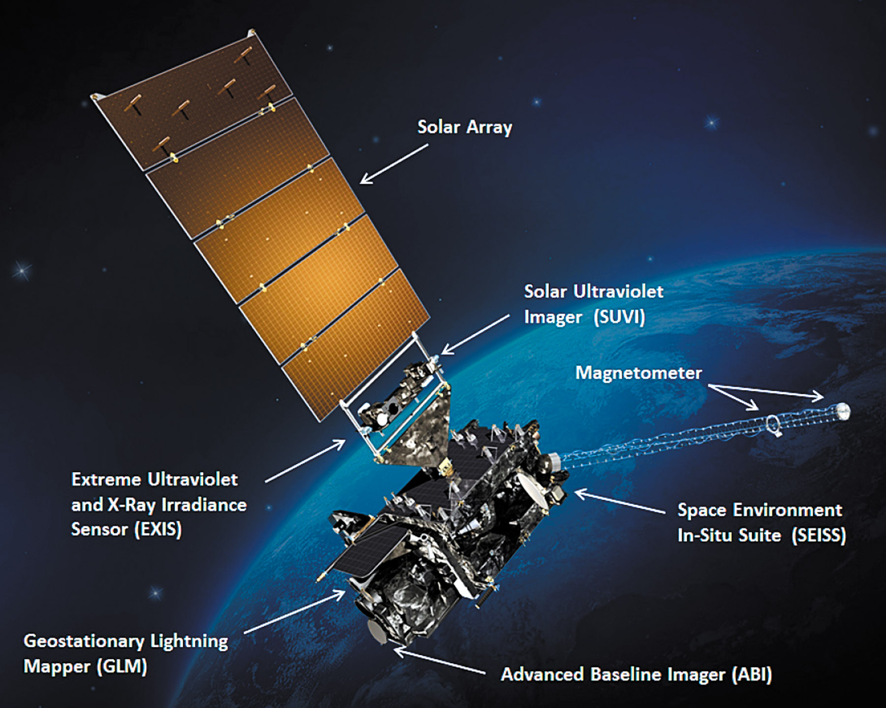
As you might guess, we can get a weather satellite by simply launching a camera into space. In fact, the very first satellite image of clouds came from a captured V-2 rocket launched in 1946 at White Sands, New Mexico. But designing a useful weather satellite system that can be used as part of a forecast system involves much more than simply launching a camera.
