Flying to Kiawah Island? Try These Airports on for Size
Two busy airports serve the Charleston area and make for ideal landing spots for a visit to nearby Kiawah Island.
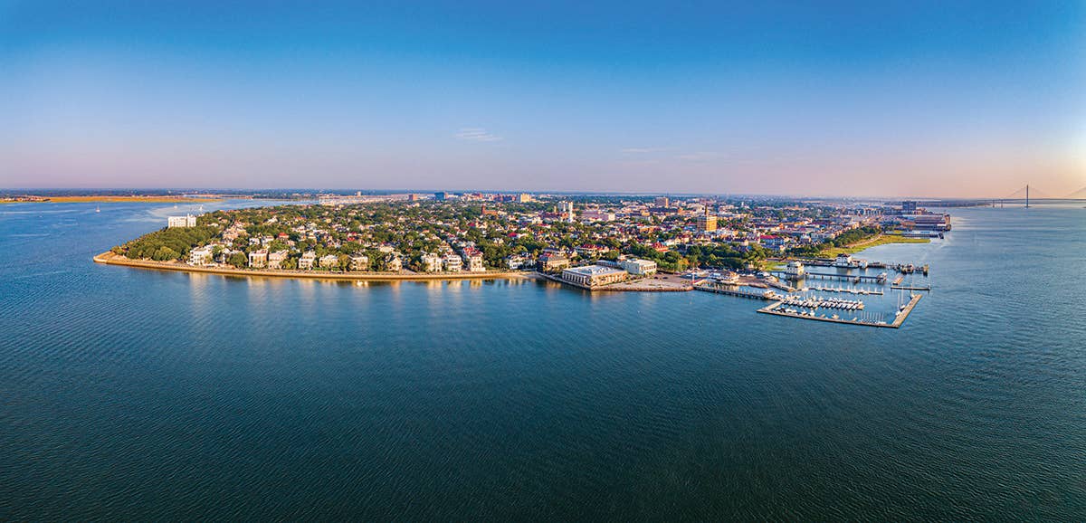
A visit to Charleston, South Carolina, pictured here, and neighboring Kiawah Island combines the sites, sounds, and culture of a big city with the respite of a beach resort. [Credit: Adobe Stock]
While there is no public-use landing strip on Kiawah Island, the city of Charleston, South Carolina, offers two large airports from which to choose, just for starters. While most general aviation pilots opt for the GA-focused Charleston Executive Airport (KJZI), you may find it more convenient to use KCHS if you have passengers to transition to commercial flights—or you just fancy landing alongside a C-17 based there.
Charleston Executive Airport (KJZI)
Charleston, South Carolina
Charleston Executive Airport is located 6 miles southwest of Charleston, South Carolina, basically just down the road from Kiawah Island. It’s the closest of two regional airports to the island. KJZI is described by the locals as a busy general aviation airport.
The airport has two runways—Runway 9/27 measures 5,350 feet by 100 feet, with a displaced threshold on 27. The crosswind runway, 4/22, measures 4,313 feet by 150 feet. The airport has multiple instrument approaches, as well as an abundance of wildlife, so keep an eye out for deer and birds in the airport environment. The location, which is near the coast, adds to this hazard.
The airport offers both 100LL and jet-A fuel. According to the locals, this airport is busy but friendly—and less challenging, perhaps—than the other airport in town (KCHS).
Charleston Air Force Base/International Airport (KCHS)
Charleston, South Carolina
The joint-use airport that is home to Charleston Air Force Base and the city’s international airport is located 9 miles northwest of the city of Charleston. The facility covers 2,060 acres and is the largest airport in the state. The airport can be divided up into four areas—the military area on the west side, the general aviation area to the east, the airline terminal on the south, and going even further south, the Boeing complex. A number of runway options exist. Pilots should study the airport diagram to become familiar with the layout prior to making the journey.
The airport has both 100LL and jet-A fuel available. Because this is a shared-use airport, there are literally pages of NOTAMs to consider. Some of the most pertinent: beware of migratory birds, and there are traffic patterns at multiple altitudes for military aircraft. In addition, student solo touch-and-gos are not permitted.
This article was first published in the 2022 Southeast Adventure Guide of FLYING Magazine.

Subscribe to Our Newsletter
Get the latest FLYING stories delivered directly to your inbox

