Register

FLYING Magazine

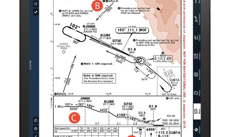
Chart Wise: Boise ILS Y 10R

With approximately one-third of its annual 128,200 operations traffic count consumed by airline operations and the rest split between air taxi, general aviation and military operations, Boise, Idaho (BOI), demands pilots be on their toes for traffic of all shapes and sizes when visiting. This month’s ILS Y 10 Right approach comes equipped with a […]
Read More »

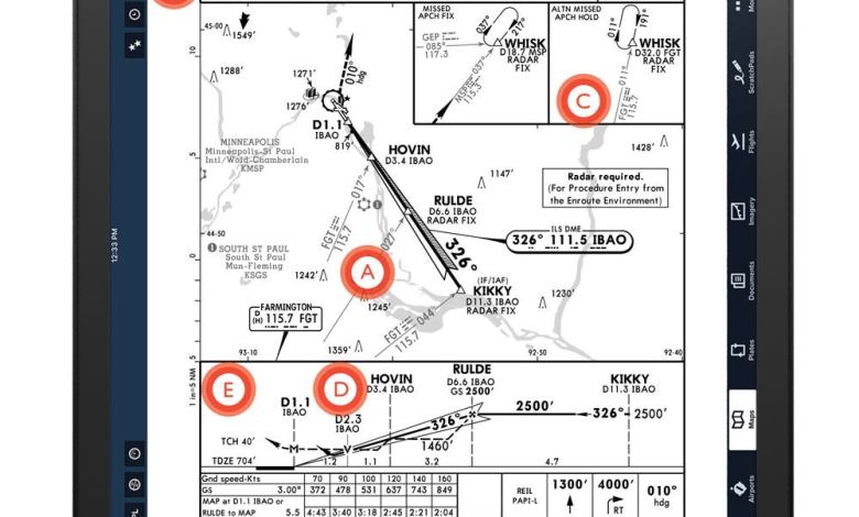
Chart Wise: St. Paul Downtown ILS/LOC Runway 32 Approach

Minneapolis-St. Paul Inter-national Airport (KMSP) ranks 16th in the nation for air traffic, a constant mix of airline, business aviation and military airplanes. It’s harried enough to also challenge some general aviation pilots. A great alternative to KMSP sits just five miles northeast, St. Paul’s Downtown Holman Airport. KSTP’s Runway 32 stretches 6,500 feet and […]

Read More »

Chart Wise: Flagstaff ILS/LOC Runway 21

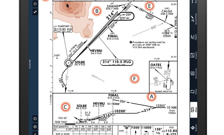
Even the simplest instrument approach can present challenges to pilots who don’t plan ahead, but in this month’s chart, the ILS Runway 21 at Flagstaff Pulliam Airport, Arizona (FLG), pilots will encounter some issues unique to flying an approach into an airport with an elevation in excess of 7,000 feet—7,003 feet to be exact. This […]

Read More »

Chart Wise: PDK RNAV (GPS) Y Runway 21L

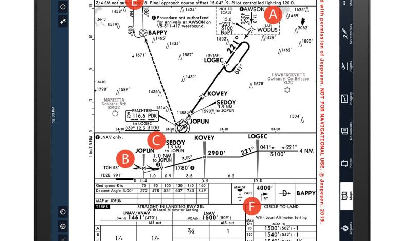
With Atlanta’s Hartsfield-Jackson International Airport (ATL) notorious as the busiest airport in the US—with passengers carried at just over 103 million—the air traffic in the Atlanta area can, at times, be intense. DeKalb-Peachtree (PDK), just 17 nautical miles northeast, is a perfect GA airport for anyone visiting the metro area interested in avoiding ATL traffic. […]

Read More »

Chart Wise: Gaithersburg, Maryland (GAI) RNAV (GPS) – A

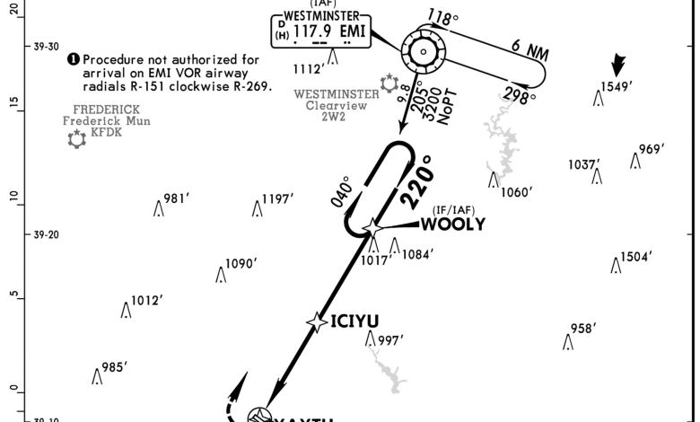
Gaithersburg is the choice for many pilots who don’t want to fly into Washington Dulles International Airport (IAD) or aren’t able to fly into Washington’s Reagan National Airport (DCA). The Montgomery County Airpark (GAI) sits roughly 25 miles north of the nation’s capital, making for a short drive to downtown Washington. The airpark’s single 4,202-foot […]

Read More »

Chart Wise: Chicago Midway Airport’s Taxi Diagram

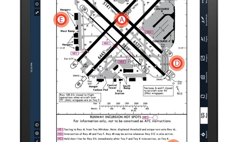
A. Map on the Ground Think of a taxi chart like a road map, assuming you’re old enough to remember one of those. Without charts on their kneeboards or iPads, pilots might have no idea of where they’re expected to taxi before ground control begins issuing clearances. The airport diagram helps pilots understand taxiway and […]

Read More »

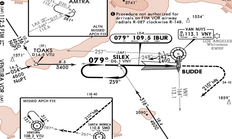
Chart Wise: Van Nuys LDA-C

Traditionally, the purpose of an instrument approach is to stabilize the pilot and the aircraft, lined up with the runway and in just the right position from which to land. Well, not in this case. The localizer directional aid approach, also commonly called the “localizer darn angle” approach, lines the aircraft up to the airport […]

Read More »
Pilot in aircraft
Sign-up for newsletters & special offers!

Get the latest stories & special offers delivered directly to your inbox.

SUBSCRIBE