











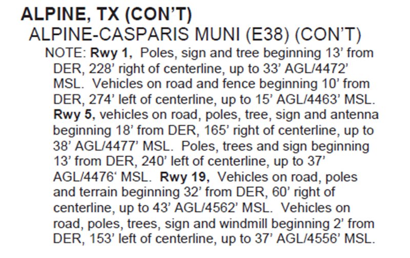


There are some things that you never expect to see together, and they surprise you when used in the same context: West Texas referred to as “alpine,” Donald Trump’s name beside “front runner,” and hashtags on approach charts, I can’t explain that second one, but the first and last make sense when digging into the RNAV (GPS) Rwy 19 approach at E38, a.k.a. Alpine, Texas.
Not an Everyday Approach
Let’s start with the alpine bit: While the hills around Alpine out in West Texas wouldn’t inspire Julie Andrews to song, they do put the airport at just over 4500 feet MSL, and peaks within 15 miles of the field cross 6500 feet. In addition, the approach chart MSA circle—You do brief that part, too, right?—is uniform with 9100 feet all around. All this should be a good reminder not to make assumptions about the terrain below those clouds.

