fbpx

FAA Tests Trajectory-Based Operations

The concept could minimize delays and disruptions in air travel, and reduce fuel burn and carbon emissions by up to an estimated 10 percent, the FAA said.

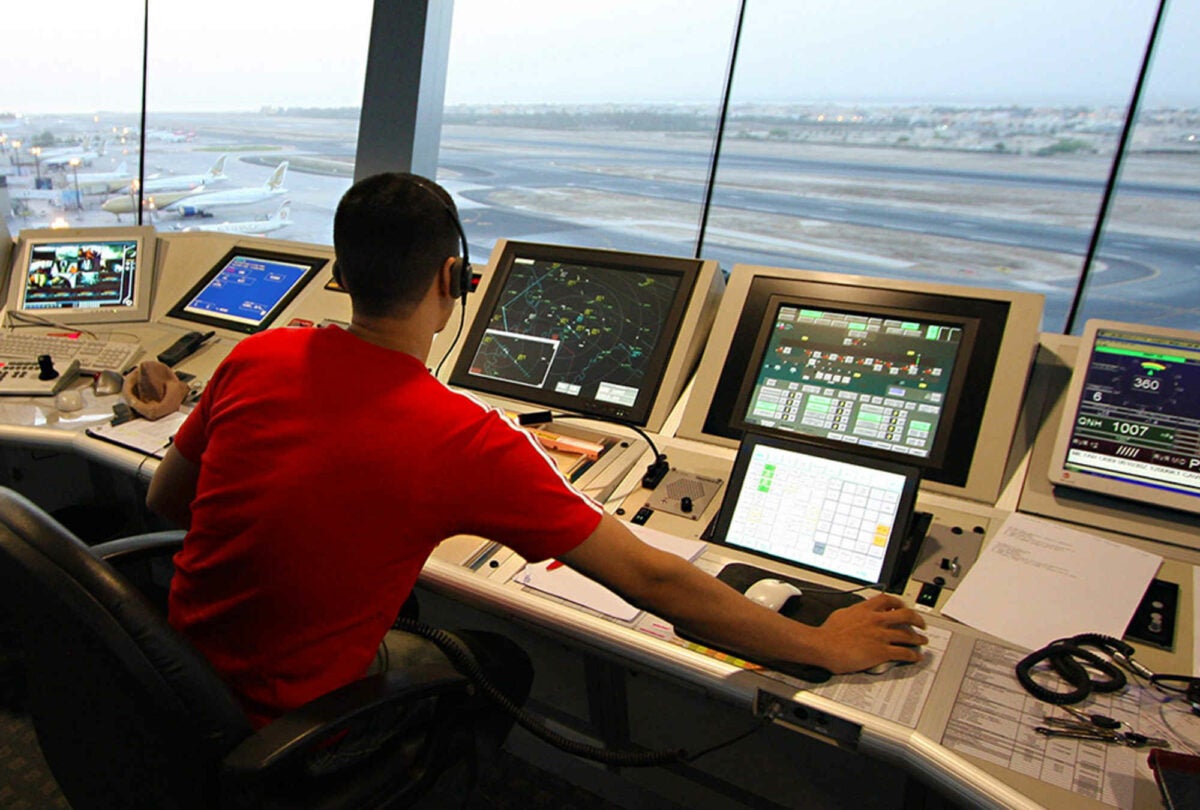
Airliners can take you all over the world, but keeping track of those flights can be a challenge—one that requires a global air traffic management approach.

Earlier this month, the FAA and their counterparts in Thailand, Singapore, and Japan conducted a six-day live flight demonstration to apply Trajectory Based Operations (TBO), which, according to the FAA, is a global air traffic management means of enhancing strategic planning through the use, sharing, and management of aircraft trajectories.

According to the FAA, the demonstration flights were successful as air traffic experts from each country used TBO to sequence routes to achieve optimal flight paths across multiple regions, taking into account conditions such as weather, traffic, and airspace closures.

[Courtesy: FAA]

Trajectory Based Operations (TBO) is an air traffic management concept that enhances strategic planning of aircraft flows to reduce capacity-to-demand imbalances in the National Airspace System (NAS), and provides tools to air traffic management personnel and controllers to help expedite aircraft movement between origin and destination airports,” the FAA said.

The idea is to improve strategic planning and management of traffic flows.

For the multinational demonstration, the FAA operated two segments, one launching from Seattle to Japan, the other flying between Bangkok and Seattle.

Two more scenarios were done in collaboration with Aeronautical Radio of Thailand (AEROTHAI), the Civil Aviation Authority of Singapore (CAAS), and the Japan Civil Aviation Bureau (JCAB).

According to the FAA, the demonstrations showed coordinating trajectory information across multiple countries can improve safety and efficiency, as the collaboration can help minimize delays and disruptions in travel and reduce fuel burn and carbon emissions by up to an estimated 10 percent.

How it Works

TBO uses precise aircraft trajectory data, such as latitude, longitude, altitude, and time, to show where the aircraft expects to be on its route from takeoff to touchdown. This enables the aircraft to fly more precise flight paths as there is a seamless information exchange between air and ground systems. 

“In the future, air traffic controllers will shift from sharing information using voice-based exchanges to sharing information more broadly, primarily using data,” the FAA said. “This will allow each country to be immediately aware of how changes in other countries will affect a flight and better plan for when an aircraft enters its area of responsibility.”

Login

New to Flying?

Register

Already have an account?