fbpx

Engine Failure Turns Puppy Ferrying Flight Into Glider

Updated GPS and a moving map display were a game changer when a Cessna 172N engine lost power.

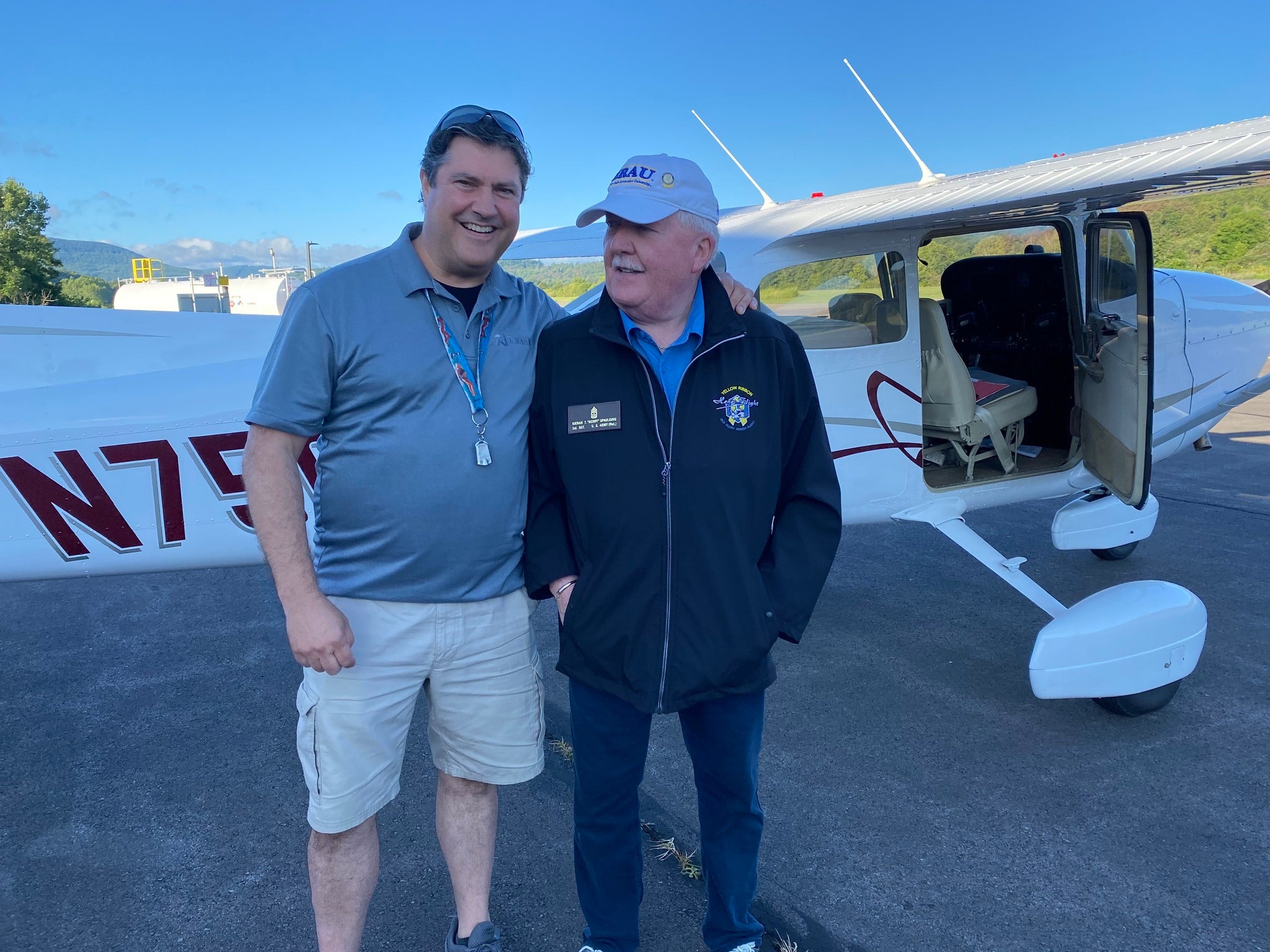
As a pilot and airplane owner, I try to share my passion for flying by donating my time and airplane—a recently purchased single-engine Cessna 172N—for worthy causes like Pilots ‘n Paws. 

Recently, Roland Vegiard and I embarked on a charitable trip in support of Pilots ‘n Paws relocating some sheltered animals for the Bradford County Humane Society from Towanda, Pennsylvania, to Asheville, North Carolina. 

We volunteered to take two dogs, brothers Denver and Dakota, down to Asheville and return with nine puppies. With the help of Bob Heinrich of Heinrich Aviation at the Bradford County Airport (N27), we loaded up and launched off for Asheville Regional Airport (KAVL) with a fuel stop at West Virginia International Yeager Airport (KCRW) in Charleston. 

Arriving at Asheville we were met by Natasha Kush and her team who handles pet relocations there. We loaded up nine of the cutest puppies you could ever hope to meet and headed back to Charleston for another fuel supply and then back to Towanda.

Roland and I were cruising VFR at 9,500 feet msl working with TriCities Approach over southern Virginia when suddenly things got extremely quiet. Not the radio…the engine!

We completely lost engine power. As there were only 60 or so hours on this zero-time rebuild engine, it was instantly one of those WTF moments when Roland and I looked at each other in disbelief and immediately began to go through the standard emergency procedures trying to troubleshoot the situation. We advised ATC of our situation and, thanks to the updated GPS and moving map displays, glided our way without any further difficulty into the Virginia Highlands Airport (KVJI) at Abingdon, Virginia. 

April Connor at Virginia Highlands Airport. [Credit: Roland Vegiard]

The staff at KVJI couldn’t have been nicer and more accommodating even summoning Washington County Sheriff’s deputies Sgt. Alexander and Dep. Blalock of their Animal Control Division, who arrived with pet food, water bowls, and makeshift leashes to make sure that our nine “passengers” were watered, fed, and given the opportunity to visit the grassy areas on the airport. 

I simply cannot thank these folks enough for their hospitality, time, and assistance. We were able to rent a minivan from the local Avis car rental service and then embarked on the more than nine hour drive back to Pennsylvania. All of these great people will forever be in my debt and gratitude. 

Roland and I use trips such as this to better hone my IFR skills and become more proficient with the Garmin glass panel suite that I had installed last year in my airplane.

Sgt. Alexander of the Washington County Sheriff’s Office [Credit: Roland Vegiard]

It was almost comical when this happened. It was like a robot took over both Roland and me at the very same instant. Roland was flying this leg from KAVL to KCRW while I was working the radio and pretty much monitoring the Garmin 3X Touch. As soon as we recognized from the multifunction display that the engine stopped producing power and oil pressure was at zero, Roland instantly went to the best glide speed while I went through the mixture, carb heat, mags, and fuel selector tasks.

Fortunately, KVJI was visible through a thin cloud layer at 9,000 feet, about 10 miles away, and we headed directly there to circle over the pattern. I think that the comical part was Roland kept the landing roll-out speed pretty brisk, making it possible to make the turn off of the runway onto the taxiway and then on to the ramp rolling right up to the front door of the FBO. We later joked that the late Bob Hoover would’ve been proud by this ‘conservation of energy’ display.

Login

New to Flying?

Register

Already have an account?