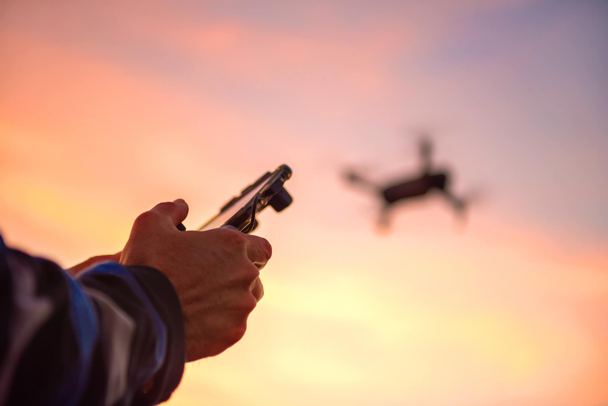
A recent nationwide analysis of drone activity concluded that airports, heliports, and residential neighborhoods may be “hot spots” where the risk of midair collisions between UAVs and crewed aircraft is elevated.
Researchers at Embry-Riddle Aeronautical University, Kansas State University, and Wichita State University’s National Institute for Aviation Research found that drone activity in and around congested airspace may be higher than previously thought. They also discovered that a “sizable number” of drone pilots fly above the FAA-mandated 400-foot ceiling for small uncrewed aircraft systems (UAS)—and, potentially, without authorization.
The report, published Tuesday, was commissioned by the FAA’s Center of Excellence for UAS Research and led by Embry-Riddle.
Stephen Rice, an Embry-Riddle professor who participated in the research, expressed alarm about the “sheer number of drone flights operating near airports.”
Drone Activity on the Rise
As of April 1, the FAA has registered more than 1 million drones—a number that is growing rapidly. Typically, these UAVs fly with strict limitations, such as the 400-foot ceiling and prior authorization, such as through the Low Altitude Authorization and Notification Capability (LAANC), for flights in controlled airspace.
As of March 2024, all registered drones must be equipped with remote identification (Remote ID)—a “digital license plate” that broadcasts data such as location, speed, and altitude. The FAA prohibits beyond visual line of sight (BVLOS) flights without a waiver and leverages temporary flight restrictions (TFRs) and No Drone Zones to keep humans out of harm’s way.
“Generally speaking, it is legal to fly a drone in most locations if you’re operating under 400 feet, but there are rules—including safety tests, keeping below 400 feet, keeping the drone in sight, avoiding all other aircraft, not causing a hazard to any people or property, and avoiding restricted airspace,” the FAA told FLYING.
Though violations can carry heavy fines and even jail time, these measures are not always effective.
In January, for example, a Bombardier Canadair CL-415 “Super Scooper” was forced to make an emergency landing after a drone violated a TFR and punched a fist-sized hole in its fuselage. No injuries were reported, but the drone’s pilot faced criminal and financial repercussions. This month, another drone struck a rescue helicopter responding to flooding in Texas, taking a critical asset out of commission.
UAS have also disrupted concerts and other public events. Cathy Lanier, chief of security for the NFL, estimated that there were about 2,500 drone incursions over NFL stadiums during the 2022 season, including some that halted play.
Federal officials, meanwhile, have reported unidentified and unauthorized drone flights over sensitive military installations.
Similarly, researchers at Embry-Riddle, Kansas State, and Wichita State found that drone pilots do not always follow the rules—and they could be endangering crewed aircraft.
Drone ‘Hot Spots’
Researchers documented more than 6,000 UAS flights and analyzed 43 aerodromes. By their estimate, the drones spent about 10 percent of their total cumulative flight time operating in airspace typically used by crewed aircraft. In some locations, they believe the overlap is even greater.
The report detailed several potential instances of unauthorized UAVs near airports—a finding supported by the more than 2,000 drone sightings reported near airports since 2021, per the Government Accountability Office (GAO). Locations studied include public and private airfields in Indianapolis, Dallas-Fort Worth, and Columbus, Ohio.
Researchers noted a troubling discrepancy between flight data from Remote ID sensors, which they used to track the drones, and LAANC approvals. At Terre Haute Regional Airport (KHUF) in Indiana, for example, they were unable to find a corresponding LAANC approval for 68 percent of 376 recorded flights. Researchers could not determine whether the drones flew under a different authorization or were not authorized at all.
According to the GAO and FAA, limitations on drone detection and mitigation make it difficult for airport personnel—including air traffic controllers (ATCs)—to deal with rogue drones. Often, they are forced to delay departures and divert or hold inbound aircraft. In some cases, researchers said pilots were forced to take evasive action. The FAA said it is conducting on- and off-airport testing of drone detection and counter-drone systems to address these gaps.
An Associated Press review of the Aviation Safety Reporting System (ASRS) found that drones in 2024 accounted for more than two-thirds of near midair collisions involving commercial aircraft at the nation’s 30 busiest airports. For the past decade, they accounted for more than half of such incidents, the AP reported.
Heliports may be even more vulnerable to drone risks than airports. At these sites, drones were detected flying as close as 0.5 nm (about 3,000 feet). Near a medical center heliport (29FL) in Daytona Beach, Florida, for example, high drone activity was described as a “potentially unmitigated threat” to emergency helicopters. In 2023, a drone collided with an R-44 helicopter operating out of an informal heliport used for sightseeing tours.
Researchers said heliports are often “hidden within urban sprawl” and difficult for remote pilots to locate. Accentuating the issue is that they do not appear on the aeronautical charts these pilots use to plan flights—a gap they recommended the FAA address.
Residential neighborhoods are another potential hot spot. An analysis of where drone flights originate identified low-to-medium-density areas as the top categories. Researchers characterized these locations as a “unique challenge for aviation safety,” since pilots are unlikely to recognize the risk of a collision. The abundance of drones could also disrupt emergency medical helicopters, which frequently fly through these areas at low altitude.
These hot spots may get hotter as commercial drone activity balloons and regulators consider new rules that would open the floodgates for expanded operations.
Keeping Drones in Check
The FAA has come a long way since the early days of UAS in the U.S. But glaring gaps in oversight remain.
For example, about 22 percent of the 6,037 drones researchers documented were tracked flying higher than authorized. About 781 of them exceeded 500 feet—well beyond the FAA’s 400-foot ceiling.
The report also unearthed concerns with Remote ID. Researchers placed Remote ID sensors near airports and other busy airspace nationwide, but more than 99 percent of their readings came within a 10-mile radius. About two-thirds of Remote ID messages were received within one mile of a sensor. At present, there are no FAA performance requirements regarding transmission range.
Researchers warned that Remote ID limitations make accurate data collection difficult. They suggested the FAA develop a national, standardized network of receivers and ditch the current direct broadcast model, where data is transmitted locally but cannot be accessed without nearby sensors.
Then there’s the issue of adoption—per the report, only about half of Part 107-registered drones are equipped with Remote ID as of mid-April. Researchers said the FAA’s delayed enforcement of the rule for six months “may likely result in further operator delays in implementing Remote ID equipment without tangible consequences.” They recommended additional research into its limitations.
The removal of geofencing for DJI drones—which accounted for nearly 9 in 10 UAVs researchers tracked—is another concern. Previously, the Chinese company automatically prohibited users from flying in restricted airspace. Without that layer of security, airports, heliports, and other hot spots could see elevated risk.
“The removal of geofencing restrictions will likely increase incursions into TFR areas, No Drone Zones, critical infrastructure, and other protected areas,” researchers wrote.
Keeping an eye on drones will only become more challenging as activity increases. In addition to more than one million FAA-registered drones, there are an unknown number of recreational small UAS, which do not require registration. The looming Part 108 BVLOS rule, meanwhile, could see commercial drones proliferate in cities like Dallas-Fort Worth.
To mitigate the influx, researchers said the FAA should modify its small UAS collision avoidance guidance for pilots. For example, they suggested pilots should avoid “low-level overflight of residential areas and flight below 500 feet.” They also recommended increased training and guidance for drone operators.
Looking to the horizon, the report further considered drone risk to a new generation of advanced air mobility (AAM) aircraft. Electric vertical takeoff and landing (eVTOL) air taxis, for example, will use vertiports—electrified takeoff and landing hubs—that could face the same issues as heliports.
Researchers said AAM pilots should exercise “extreme caution” when flying over neighborhoods or below 500 feet. They also believe the novel aircraft should equip their own Remote ID systems and fly at times—such as the five-to-six-hour window between midnight and twilight—when drone activity is low.
Ryan Wallace, an associate professor at Embry-Riddle, said the Remote ID policy is “bearing fruit by providing the FAA with important information on small UAS activity hot spots or areas of elevated risk.” But there is plenty of room for improvement.
Brent Terwilliger, another associate professor, said the report’s creation of a “real-world, data-driven picture of how small UAS are actually being used in the National Airspace System” is “essential for shaping informed, practical policies and technologies that will enable safe, scalable integration of UAS as operations and autonomy continue to expand.”
Like this story? We think you’ll also like the Future of FLYING newsletter sent every Thursday afternoon. Sign up now.
