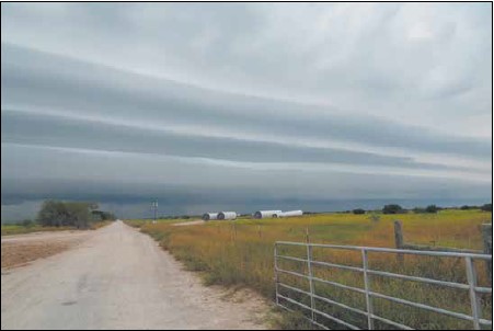

Often, the word “front” raises anxiety and apprehension in aviation meteorology. It carries the possibility of showers and thunderstorms, signals a change in the weather regime, and means the distinct possibility of a busted forecast. Thankfully there’s nothing to fear. Fronts are now well understood— computer models have become excellent at handling the underlying air masses that drive these weather systems. But to avoid the little details that often get us in trouble, we need to have a better understanding of what we’re looking at. Let’s break it down.
Let’s first look at FAA publication AC 00-6B, Aviation Meteorology, the bedrock on which flight training in the United States is largely built. Here we find an entire chapter dedicated to fronts, and the chapter heading shows that fronts are closely bound with air masses and the wave cyclone model. This makes sense, as fronts simply mark a division between air masses, while the wave cyclone model describes the change in structure of both air masses and fronts over time as heat and moisture interact with each other.
