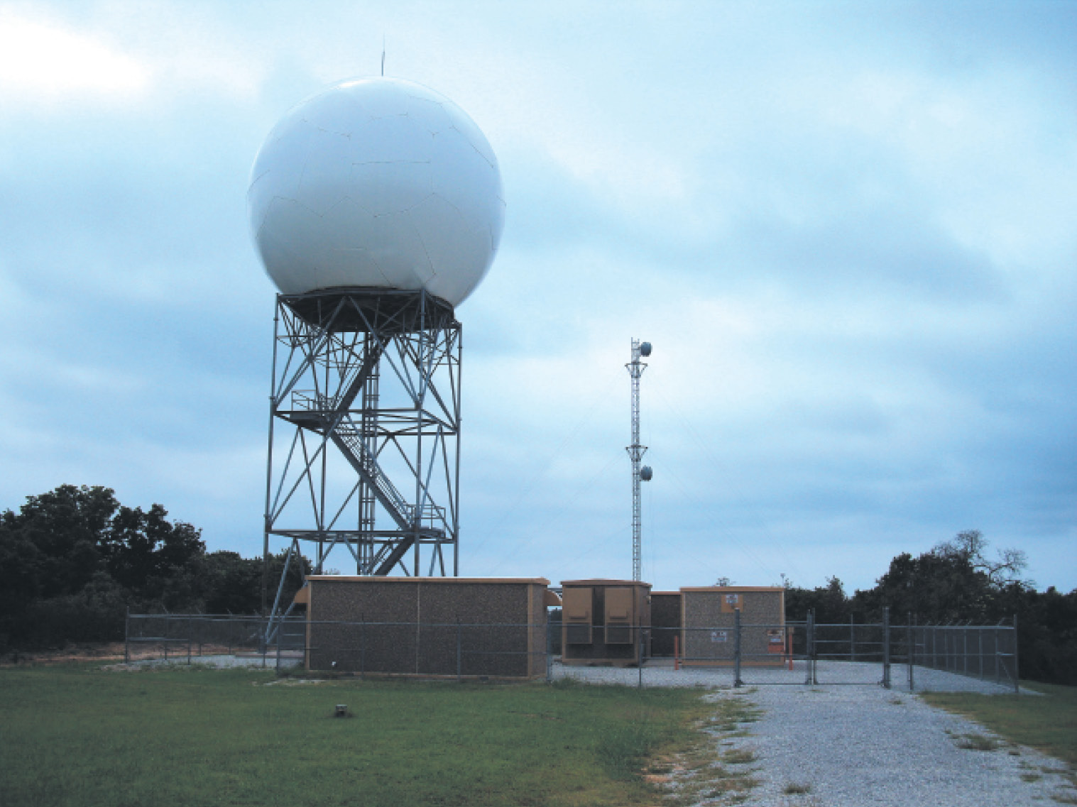

Just 40 years ago, a pilot’s only real access to live radar data was in the cockpit of a sophisticated multi-engine aircraft. But thanks to rapid advances in technology and computer networks, anybody carrying a smartphone has access to nearly all of the data from the federal government’s $3 billion radar network. Add ADS-B In to the mandated Out, and you can reliably get all this data when airborne. This radar network is known as NEXRAD, Next Generation Radar, and is made up of 160 WSR-88D radar sites.
While this provides great convenience and helps pilots breathe easy, the fact remains that the United States has some of the most dangerous convective storms in the world. It’s essential that every pilot knows not only how to get the data, but also how radar works, to understand what they’re seeing, and where interpretation might go wrong. There’s more to it than just looking for the red spots.
