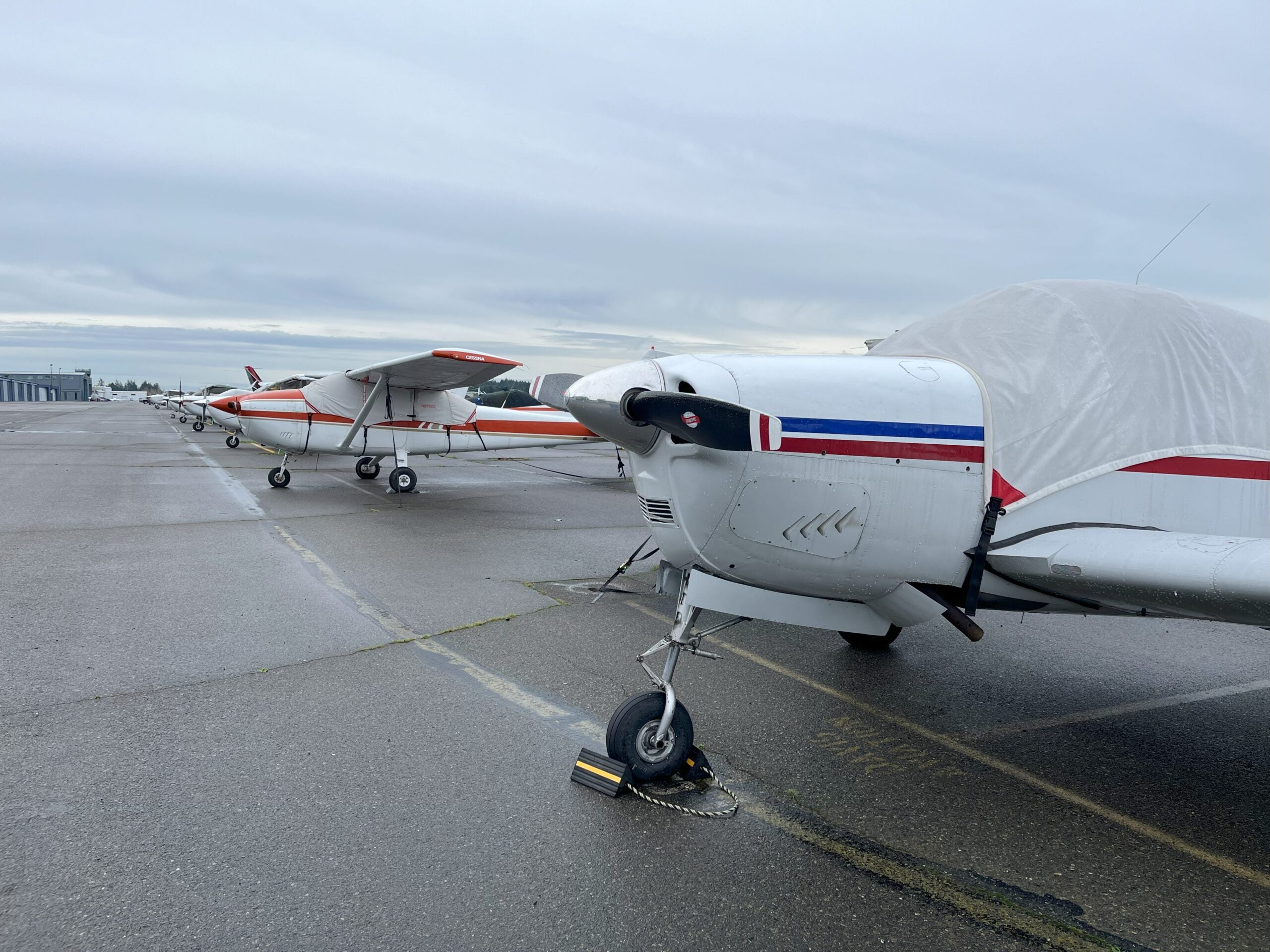
Airports from Northern California to Seattle braced for what the National Weather Service described as a "rapidly intensifying surface low" moving toward the region. [Courtesy: Meg Godlewski]
Key Takeaways:
A "bomb cyclone" (bombogenesis) is rapidly intensifying and moving towards the Pacific Northwest, predicted to be stronger than the deadly 1962 Columbus Day storm.
The storm is expected to bring widespread wind gusts of 60 to 70 mph or more from California to western Washington, along with heavy rain and blizzard conditions in mountainous areas.
Airports across the region, from Northern California to Seattle, are taking extensive precautions by securing outdoor objects and moving aircraft into hangars to protect against the severe weather.
“Secure outdoor objects, charge your devices, and get everything in the hangar that will fit.”
The directive—or a variation of it—was uttered a lot at airports from Northern California to Seattle on Tuesday as the region braced for what the National Weather Service (NWS) described as a “rapidly intensifying surface low” moving toward the Pacific Northwest.
CREATE A FREE ACCOUNT
Sign up to keep reading
Create a free account to continue. Already a member? Sign in below.
Meg Godlewski has been an aviation journalist for more than 24 years and a CFI for more than 20 years. If she is not flying or teaching aviation, she is writing about it. Meg is a founding member of the Pilot Proficiency Center at EAA AirVenture and excels at the application of simulation technology to flatten the learning curve. Follow Meg on Twitter @2Lewski.