Not many years ago your airborne weather information was limited to what you could see out the windshield and what information you were able to gather on the radio from Flight Service-if you could reach them. Plus, reported weather was limited. Thus, it was nearly impossible to form a full, accurate mental image of the weather. …
Modern airborne weather systems provide an overwhelming amount of data, but their complexity, display limitations, and varying product capabilities can make effective utilization challenging for pilots.
Satellite weather inherently has latency and different update frequencies for various products, making it suitable for strategic planning rather than tactical weather avoidance and necessitating a foundational preflight briefing.
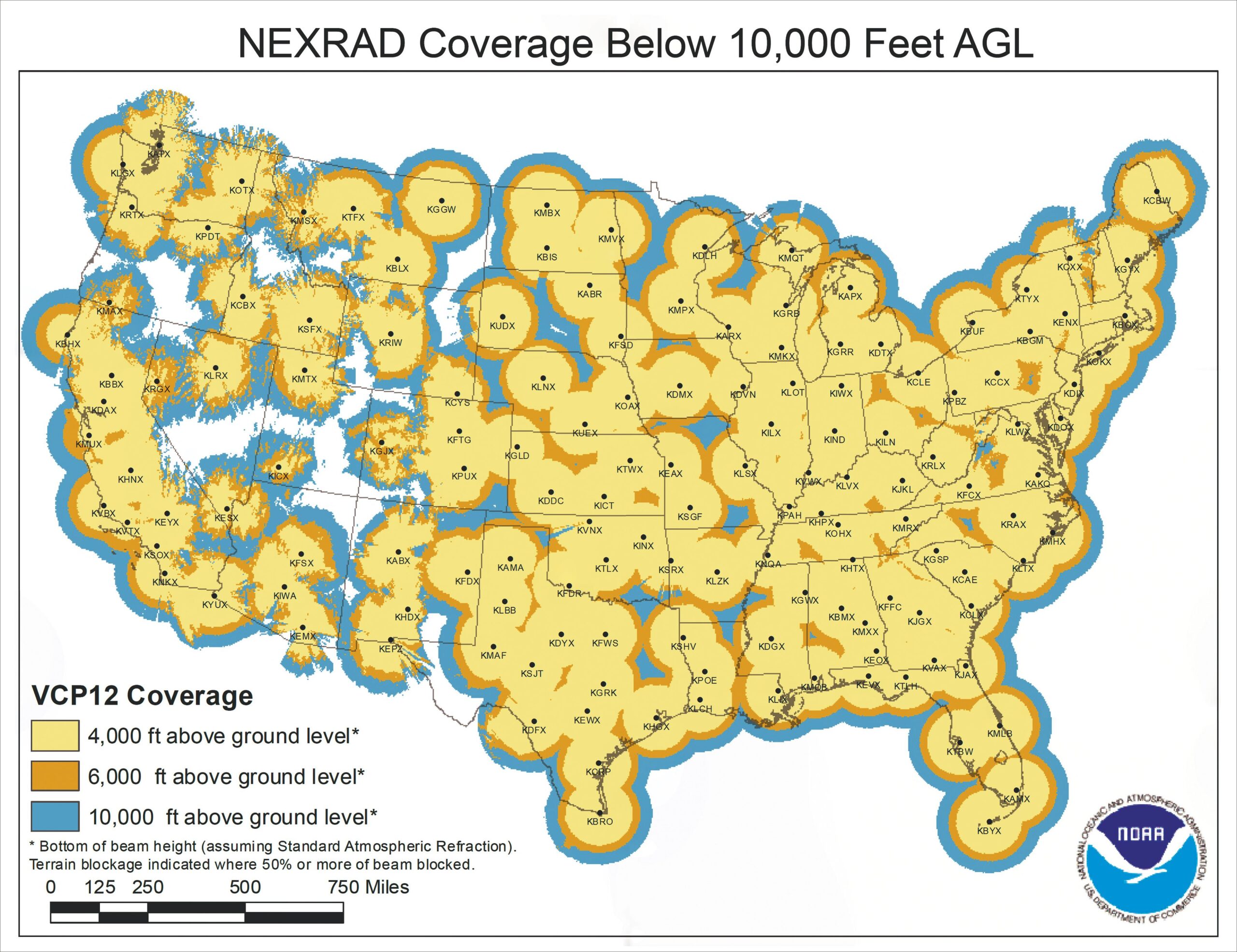
Pilots must understand and strategically apply diverse weather products—such as NEXRAD, winds, cloud tops, and METARs—for informed enroute decision-making, including route selection, altitude adjustments, and planning for potential diversions.
Despite technological advancements, the "Mark One Eyeball" (direct visual observation) remains the most crucial and reliable tool for avoiding severe weather conditions.
Not many years ago your airborne weather information was limited to what you could see out the windshield and what information you were able to gather on the radio from Flight Service—if you could reach them. Plus, reported weather was limited. Thus, it was nearly impossible to form a full, accurate mental image of the weather.
CREATE A FREE ACCOUNT
Sign up to keep reading
Create a free account to continue. Already a member? Sign in below.