fbpx

What Happens When a Drone Loses Its Way?

The Army is trying to determine why one of its UAVs made a 632-mile odyssey across three states.

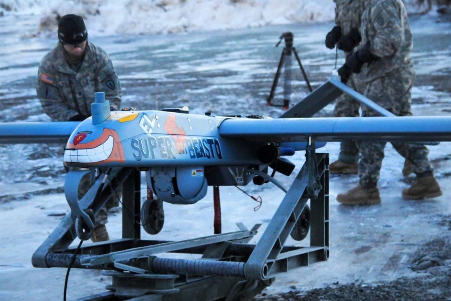
One of the more popular selling points for most drones is that should something sever the communications link between the aircraft and the pilot or ground command, the machine knows the way home and normally returns automatically … except of course when it doesn’t, as the U.S. Army experienced in late January.

An Army Shadow RQ-7Bv2 launched from Arizona decided, for some unknown reason, to head out on a bit of sightseeing tour rather than follow the planned mission profile created to keep the aircraft with 77 miles of the base.

The Shadow lost contact with the ground just a few minutes after takeoff on January 31 and, according to Civil Air Patrol tracking data, eventually climbed as high as 12,000 feet. Once the Shadow lost contact, the 440-pound aircraft headed east out of Arizona until crossing into New Mexico, when, for another unexplained reason, it turned north and flew into Colorado. Experts based the drone’s final altitude on the height it needed to be cruising at before it finally disappeared over southern Colorado some five and a half hours after takeoff.

A camper in the mountains eventually spotted the Shadow, minus a wing, in a tree 632 miles from its takeoff point, 10 days after it went missing. Neither the U.S. Army nor the Shadow’s manufacturer, Textron, have commented on the incident.

Login

New to Flying?

Register

Already have an account?