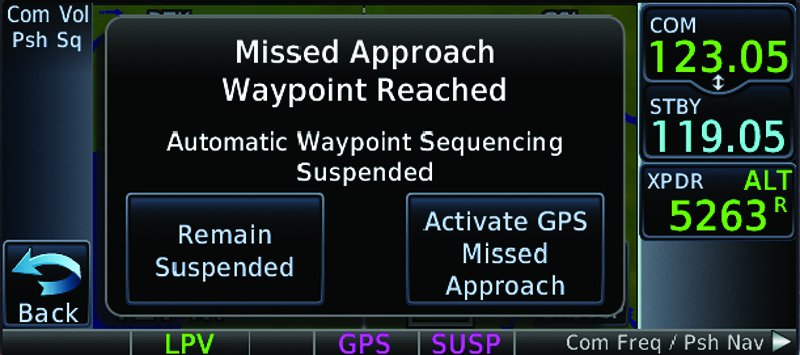
How does your GPS navigator handle a leg to a specific heading or to a specific altitude? Do you fly these with the confidence of Captain Picard of the Enterprise, or of Doctor Who pushing a button to see what happens? These legs are common, particularly as the first step on a missed approach: Climb runway heading to 1300, then ...
Modern GPS navigators handle "heading" and "altitude" legs (common in missed approaches and departures) with varying capabilities, depending on the specific system and its available sensor inputs (e.g., altitude, heading data).
Pilot misunderstanding of their specific avionics' behavior for these legs is a common issue, sometimes leading to errors or unexpected system responses, as highlighted by manufacturer service advisories.
Achieving "avionics proficiency" is crucial for instrument pilots, requiring a thorough understanding of their individual system's capabilities, limitations, and the necessary pilot inputs to safely command automation during complex flight procedures.
How does your GPS navigator handle a leg to a specific heading or to a specific altitude? Do you fly these with the confidence of Captain Picard of the Enterprise, or of Doctor Who pushing a button to see what happens?
These legs are common, particularly as the first step on a missed approach: “Climb runway heading to 1300, then …”
CREATE A FREE ACCOUNT
Sign up to keep reading
Create a free account to continue. Already a member? Sign in below.