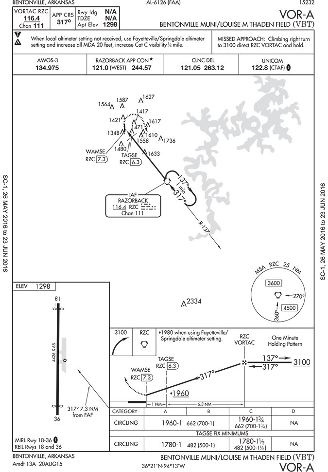
Certainly following the airways and the MEAs, and then descending over an initial approach fix or hold would be best. I was just thinking of a case when we werent on an airway, like between Keflavik, Iceland (BIKF) and Narsarsuaq, Greenland (BGBW). We wanted to make sure we were above the OROCA and MSAs for that area when we were descending. I guess we could have stayed at our filed FL170 until over the hold, but given that the airport is at sea level we wanted to start a prudently safe descent beforehand.
The article presents a futuristic concept for air traffic control, where digital route transmission to pilots could enhance safety and efficiency, though challenges in implementation and acceptance are noted.
It includes discussions on the practical application of aviation theory, such as determining crosswind during turns, clarifying descent procedures in non-radar environments, and explaining how additional equipment can enable lower approach minimums.
Concerns are raised regarding the growing safety threat posed by irresponsible drone operations to manned aircraft, highlighting a reported near-collision that went unaddressed by authorities.