













Register

Minimum Altitudes

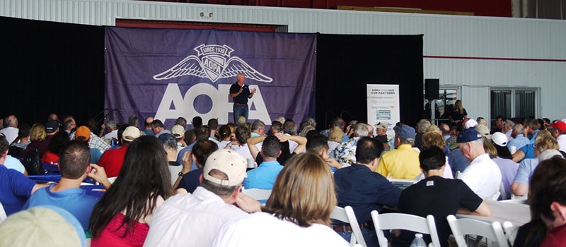
Mark Baker at the AOPA Fly-In earlier this year. Mark Baker AOPA
Gemini Sparkle

Key Takeaways:

  • The article distinguishes between standard, charted IFR altitudes (like MEA, MOCA) and "uncharted" altitudes used exclusively by Air Traffic Control (ATC).
  • The Minimum Vectoring Altitude (MVA) is used by radar controllers (primarily terminal) and the Minimum Instrument Altitude (MIA) by Center controllers (without requiring radar) to vector aircraft at altitudes often lower than published MEAs.
  • Although officially for controllers, MVA and MIA charts are available from the FAA; however, their format makes them nearly unusable for pilots without technical conversion, sparking debate about their integration into pilot EFBs.
  • Knowing these ATC-specific altitudes exist can provide pilots with critical options to request lower altitudes in situations like icing, even if it's below charted MEAs (potentially requiring GPS/direct routing).
See a mistake? Contact us.

Instrument training is littered with acronyms and abbreviations. Altitudes like MEA, MCA, MOCA, OROCA can end up being the bane of students. And that’s just the en-route altitudes. When we get into the terminal environment, we then have the procedural MEAs on SIDs and STARs and, of course, the minimum—and sometime maximum—altitudes for the various segments of instrument approaches, from TAA to procedure turn to intermediate leg to FAF crossing to MDA (or DA) and finally the missed approach altitudes.

Charted IFR Altitudes

Ready to Sell Your Aircraft?

List your airplane on AircraftForSale.com and reach qualified buyers.

List Your Aircraft
AircraftForSale Logo | FLYING Logo
Pilot in aircraft
Sign-up for newsletters & special offers!

Get the latest stories & special offers delivered directly to your inbox.

SUBSCRIBE
