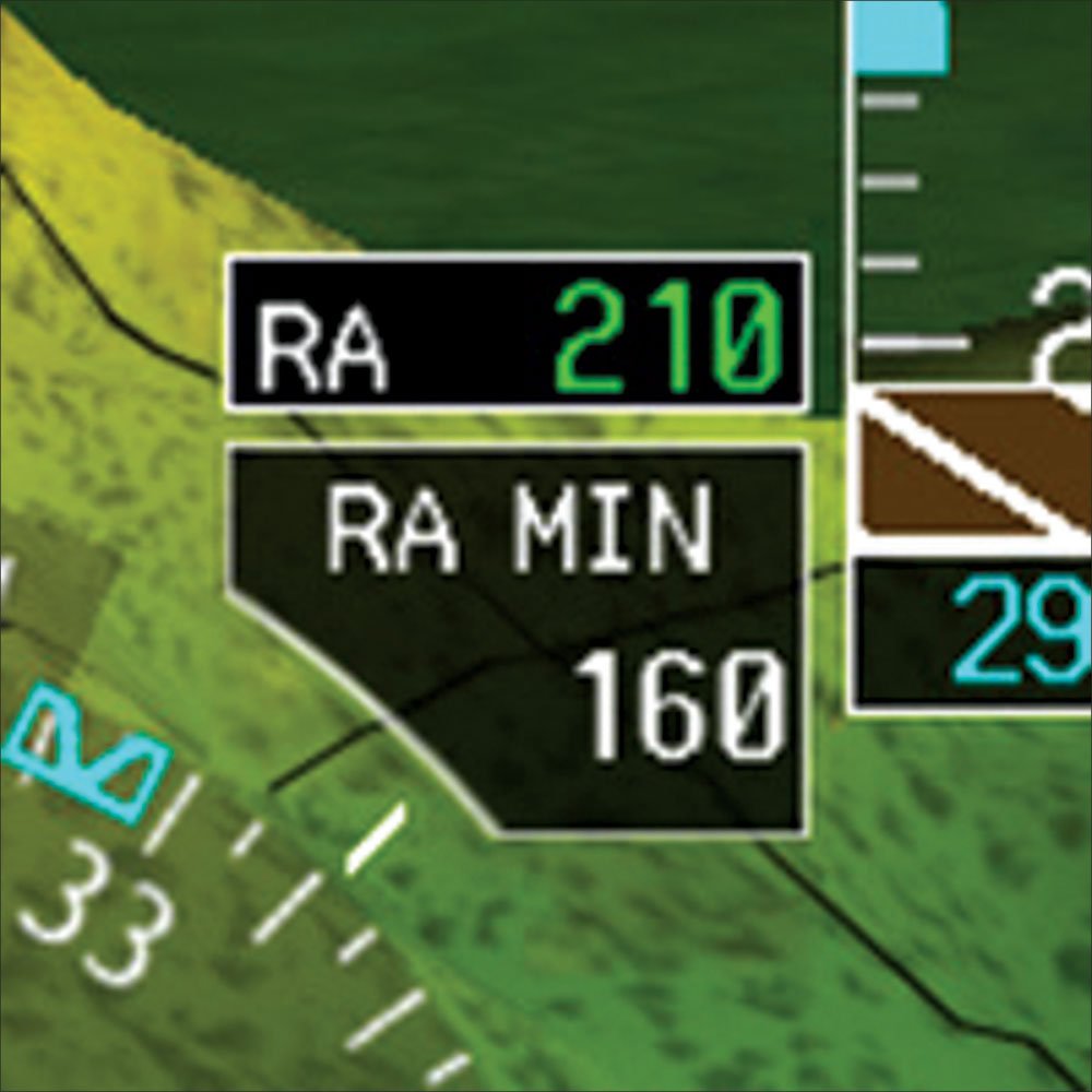
When I first started flying, the concept of altitude was confusing. For pilots the reference, of course, is this thing called mean sea level. But all I was interested in at first was my height above the ground-a measurement with some substance that made sense to me.
Radar altimeters measure an aircraft's precise height above the ground (AGL) using reflected radio waves, contrasting with traditional pressure altimeters that measure altitude relative to mean sea level.
They significantly enhance pilot safety and situational awareness by providing real-time AGL data, aiding in ground proximity warnings, improving decision-making during approaches, and offering critical alerts for procedural compliance.
Modern radar altimeters, like Garmin's GRA 55, utilize advanced digital processing for improved accuracy and feature programmable alert points, making this valuable safety technology increasingly accessible for general aviation.
When I first started flying, the concept of altitude was confusing. For pilots the reference, of course, is this thing called mean sea level. But all I was interested in at first was my height above the ground—a measurement with some substance that made sense to me.
CREATE A FREE ACCOUNT
Sign up to keep reading
Create a free account to continue. Already a member? Sign in below.