











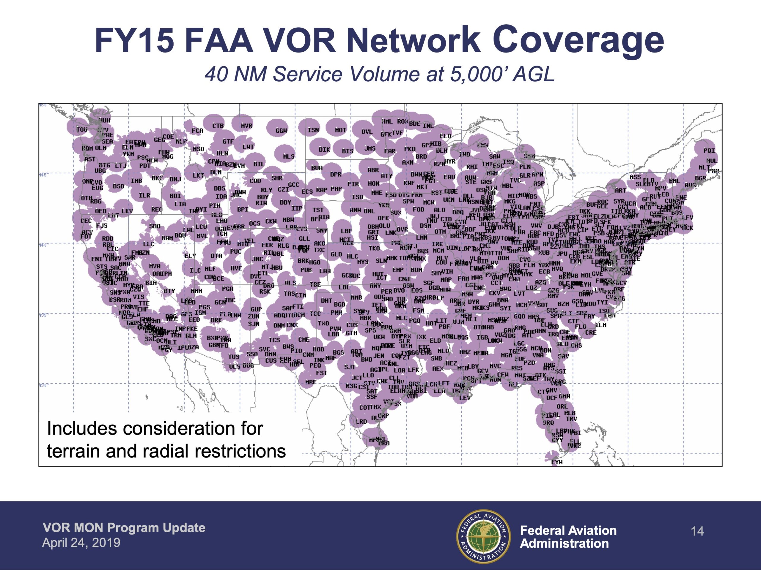


Perhaps you’ve noticed “MON” above certain airports on your low-altitude en-route charts beginning in June 2019. The 200 airports so annotated are specially chosen and sprinkled across the contiguous U.S. (CONUS), identifying them as part of the Minimum Operational Network (MON) of VORs and airports. Those MON airports are also listed in Chart Supplements.
Should GPS go dark, MON airports are planned as IFR safe havens. Each has at least one ILS, LOC, or VOR approach not requiring GPS, DME or, heaven forbid, NDB. A MON airport is rarely more than 100 NM distant. The other part of MON is a downsized VOR network that funnels you to a MON airport from anywhere in the CONUS if you are at or above 5000 feet AGL.

