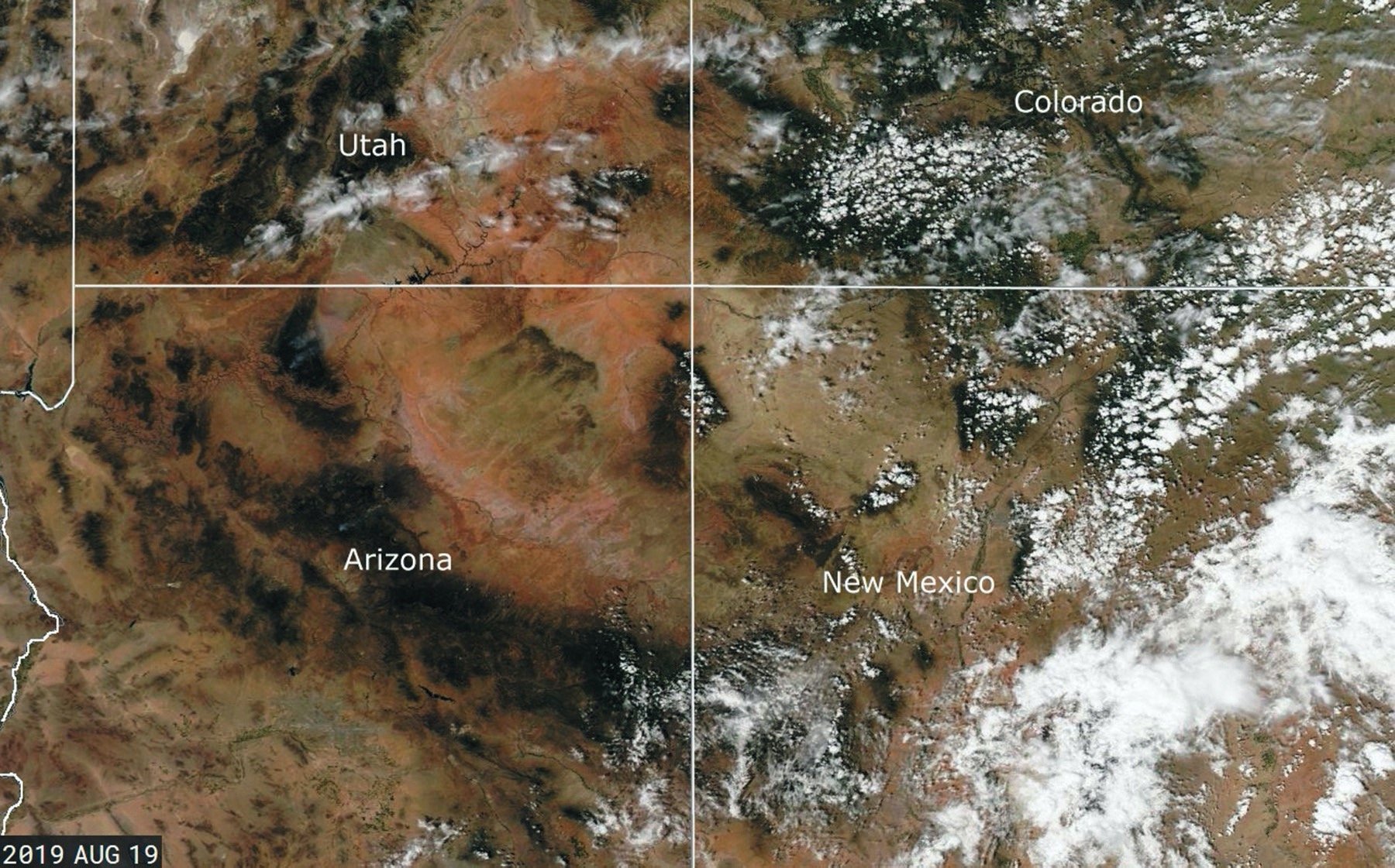

Since the mid-1970s, satellite imagery has made its way into everything from television weathercasts to flight weather briefings. We see them constantly. When a hurricane is approaching the coast, viewers are presented with satellite images. When the local news shows the forecast, a satellite image is almost always used. This technology has grown progressively more complex and powerful over the years, and more than ever it can be a valuable part of flight planning. Let’s examine some of the basics of the technology and look at today’s capabilities.
How It Started
What we know as satellite imagery is simply the art of parking a camera in space and pointing it at earth. The earliest known photos of earth from space were taken from German V-2 rockets launched by the U.S. Army after WWII. The first U.S. satellite was Explorer 1, launched in 1958, and this was followed in 1960 by a very important satellite: TIROS (Television Infrared Observation Satellite), the first Earth observation satellite. TIROS gave mankind their very first weather pictures from space. Unfortunately the images were taken using primitive—by today’s standards—television cameras, and it was almost impossible to match geography to the images in real-time.
