Register

Filing for a Lat/Long

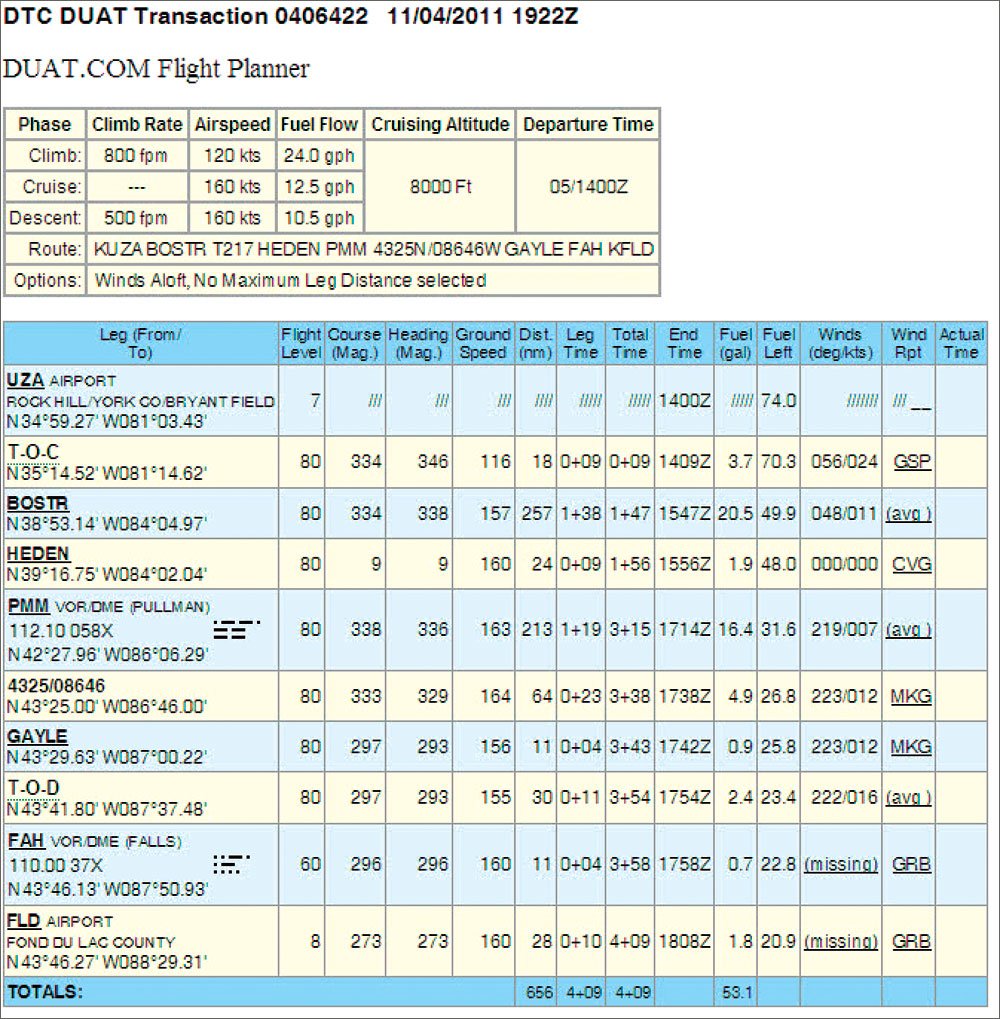
Every year I fly from my home base at Rock Hill, S.C., to Fond du Lac, Wisc., for the Oshkosh AirVenture fly-in. I normally take a route east of both Cincinnati and Chicago, which takes me over Lake Michigan. As I near the lake, I always get the following re-route: Cleared direct Pullman, then via the Pullman 333 radial to intercept V510, Falls, direct Fond du Lac.

Gemini Sparkle

Key Takeaways:

  • A pilot recounts his annual struggle to program and file a complex, recurring ATC reroute involving VOR radial intercepts into his GPS and traditional flight planning software.
  • He discovered methods to define custom waypoints in his GPS and learned specific FAA flight plan filing formats, such as VOR radial/distance (e.g., PMM333064) or latitude-longitude coordinates (e.g., 4325/8646).
  • While older software presented challenges with these formats, modern applications like ForeFlight now automatically code complex user waypoints into the correct latitude-longitude format, significantly simplifying flight planning and filing.
See a mistake? Contact us.

Sometimes just knowing the preferred route isn’t enough. You need the secret code for putting that route into the system.


Ready to Sell Your Aircraft?

List your airplane on AircraftForSale.com and reach qualified buyers.

List Your Aircraft
AircraftForSale Logo | FLYING Logo
Pilot in aircraft
Sign-up for newsletters & special offers!

Get the latest stories & special offers delivered directly to your inbox.

SUBSCRIBE