













Register

GOES Satellite Imagery

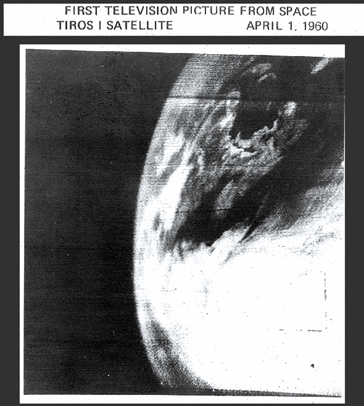
There's been a lot of progress in 60-plus years. (NASA)
Gemini Sparkle

Key Takeaways:

  • The Geostationary Operational Environmental Satellite (GOES) program, operational for 47 years, provides continuous, high-resolution weather monitoring from a fixed position 22,236 miles above the equator, with modern GOES-R satellites offering significantly enhanced imagery and data.
  • Satellite imagery is primarily categorized into visible (daytime only, shows reflected sunlight, good for intuitive views of clouds and features) and infrared (24/7, shows temperature, brighter = colder, useful for cloud height and night conditions).
  • Advanced GOES-R satellites feature multispectral infrared products, such as the Nighttime Microphysics product for detecting fog and low stratus at night, and a Geostationary Lightning Mapper, providing specialized data crucial for pilots and meteorologists.
See a mistake? Contact us.

You’ve probably heard someone tossing around the term “GOES satellite” at one time or another. This refers to a NOAA satellite program that has been in operation for 47 years. GOES stands for Geostationary Operational Environmental Satellite, in other words, a weather satellite that’s parked 22,236 miles (35,786 km) above the Earth’s surface, directly above the equator. At this altitude the satellite orbital speed perfectly matches the Earth’s rotation, allowing it to remain permanently above a fixed location on the planet. That gives it a constant view of the United States.

A Quick History

Ready to Sell Your Aircraft?

List your airplane on AircraftForSale.com and reach qualified buyers.

List Your Aircraft
AircraftForSale Logo | FLYING Logo
Pilot in aircraft
Sign-up for newsletters & special offers!

Get the latest stories & special offers delivered directly to your inbox.

SUBSCRIBE
