fbpx

South Lake Tahoe LDA Approach Requires Key Points Not to Miss

Surrounded by lofty mountains, the instrument approach to KTVL requires your attention.

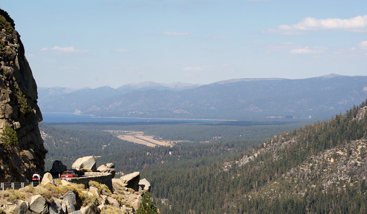
Arguably one of the most stunning lakes in the United States, Lake Tahoe sits at a relatively high elevation surrounded by even loftier mountains. This can make flying an approach to South Lake Tahoe, California, something that requires a little more attention than your average approach, especially if you are going to be using the LDA Runway 18 procedure.

If I had to choose, this might be one of the coolest and most beautiful approaches to fly in the United States—in VFR weather. In IFR, it certainly has a few key points you wouldn’t want to miss.

Courtesy: Jepessen

A. Getting onto the Approach

While vectors are often offered to establish an approach, there are times when a pilot may seek to establish themselves at a fix that leads them onto the approach—or needs to, owing to a lack of radar coverage in mountainous areas. Both of these are reasons a pilot might seek to do this using an initial approach fix. On this approach, two are listed, but notes are applicable.

A pilot might choose to use the FMG or SWR VORs to get established on this approach. While both lead a pilot to the eventual final approach path, notes 1 and 2 indicate that this portion of the procedure is not authorized under certain conditions from either of these VORs. In both cases, the reason is that the VOR can be used from the en route portion of flight (something you would find on the low en route chart), but depending on the direction of approach, it would require a course reversal to then fly inbound on the feeder route. The gist is that a pilot approaching from the east would not be able to use the SWR VOR (V494 westbound), and a pilot approaching from the south to the FMG VOR (airway radials R-167 clockwise to R-241) would not be able to use these points under these conditions to establish the approach.

B. LDA: What’s That Again?

A less-common approach type, the localizer directional aid—sometimes referred to as a “localizer darn angle”—is a localizer approach that is not necessarily directly aligned with the intended runway of landing. In this case, the LDA is not significantly displaced, with a final approach path of 171 degrees for a landing on Runway 18, but it is not within the required allowance for the approach to be a standard localizer approach.

C. Straight-In Landing—No Circling

Even though the approach is slightly offset in its path to the intended runway of landing, Runway 18, only straight-in minimums are published for this approach. Circling minimums to the opposite end of the runway are not published, and this should be a good hint to a pilot that it should not be even considered. Looking at the chart, the reason is obvious: There is rising and abundant terrain to the south, east and west of the runway. If you aren’t going to be able to land on 18, a missed approach is going to be needed.

D. Going Missed at a Distance

This approach requires DME (or a suitable IFR-capable GPS system to substitute) capability onboard to fly the approach, and that DME is going to be used to identify a missed approach point. WUGUK, the designated missed approach point, is at 4 nm from the localizer (denoted by D4.0 ITVL) and is in fact 4.3 nm from the runway end. This is much farther away than missed approach points are for most approaches, but it also corresponds with a required visibility that is published as 5 miles[AC1] [JF2]  for this approach. This isn’t the kind of approach that is going to get you in on the worst of days; it is more about having an approach to get you close to the airport in what most might consider marginal weather while avoiding terrain in the area.

E. Speaking of Going Missed, It’s a Bit Complicated

It’s not your standard missed approach by any means. If the runway environment isn’t in sight by the DME 4.0 point and at the MDA, it’s time to start a right turn to a heading of 329 degrees until the pilot can then intercept the 102-degree radial (a 282-degree heading) to the SWR VOR. The pilot will then follow this radial to the VOR and enter a hold with left turns on the 218-degree radial (038 degrees inbound) at the relatively high altitude of 11,000 feet msl. Climb gradients for nonturbocharged or turbine aircraft can be a factor in environments like this, so if you are going to be doing this approach, make sure your aircraft will be able to meet all the requirements—of not just the inbound portion of the approach but also the missed-approach requirements in the event they might be needed.

Login

New to Flying?

Register

Already have an account?