











Stepdowns On the GPS?
Early on I learned that sinking below a critical altitude is one of the most difficult errors for me to correct. This has often left me wondering why altitude guidance from GPS navigators is so minimal. With WAAS it knows my altitude often better than my altimeter, and it can warn me when I’m too close to the ground. Why can’t it tell me when I’m about to bust a step-down altitude on an approach, or what altitude is next, or even what the MEA might be on the airway I’m flying?
Readback: February 2013

Key Takeaways:
- GPS navigators currently lack detailed altitude guidance, such as step-down altitudes, primarily because their underlying navigation databases contain incomplete altitude information, posing a safety risk if implemented.
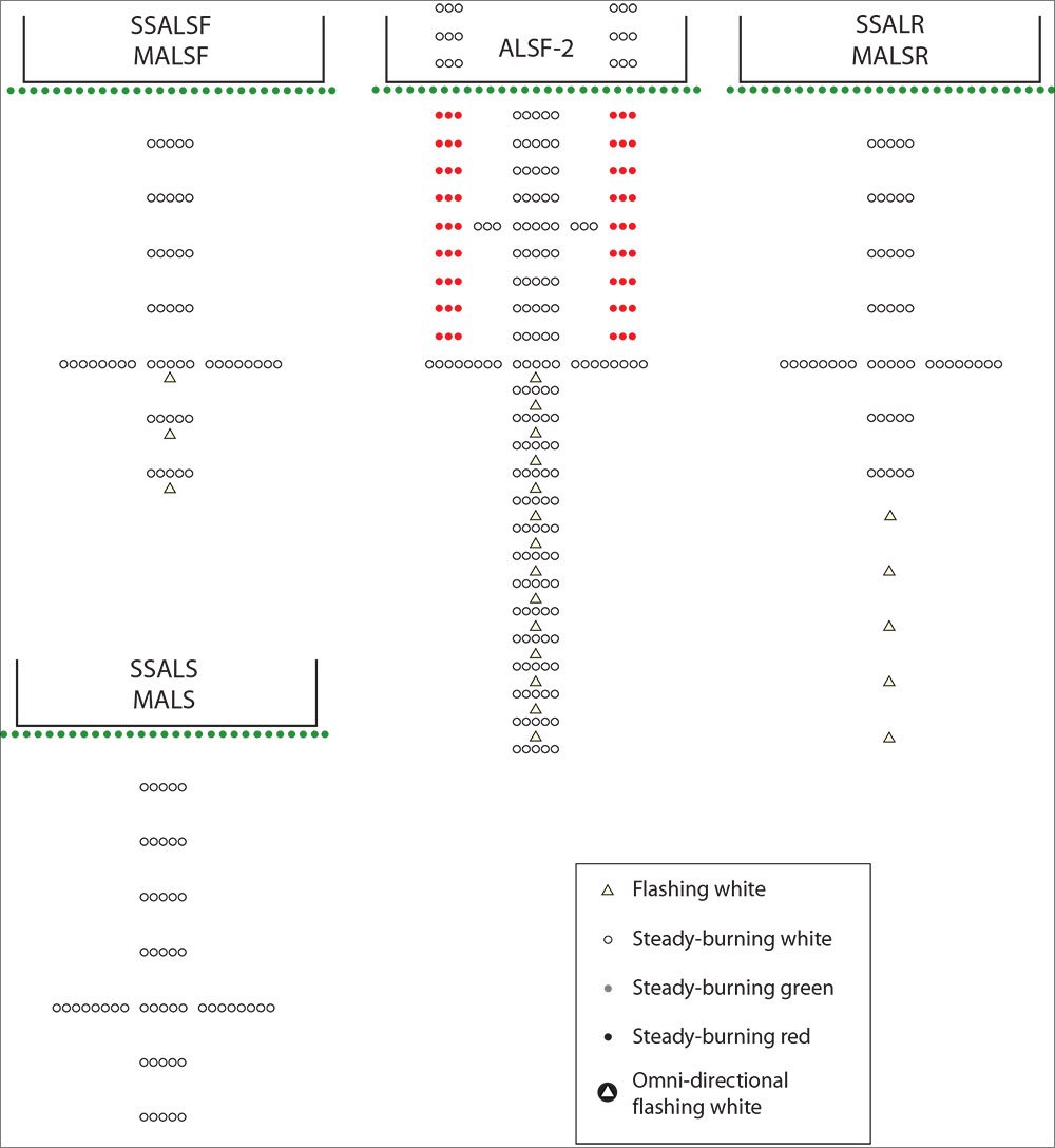
- Readers offered practical insights on approach lighting, including the need for "decoder rings" for chart codes, and highlighted the critical concept of "cutoff angles" (visual shadows) in search and rescue, explaining why targets can be missed.
- Pilots discussed strategies for enhancing safety, such as using checkmarks to manage interrupted checklists effectively, and clarified the purpose of arming GPS approach mode manually for Initial Approach Fixes (IAFs) located over 30 nautical miles from the airport.
Key takeaways sponsored by Aviator Pro | Start Your Training ->
See a mistake? Contact us.

