











Maximizing Datalink
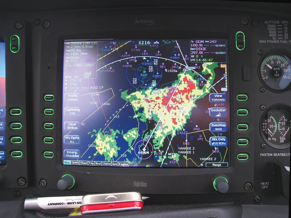
There’s plenty more to using datalink weather than, “Don’t fly through the red stuff.” By layering information, you can build a more complete picture.
Datalink weather is a staple food of most IFR cockpits theses days. And why not? It give us critical information directly into our hands to make more informed decisions in the moment.
Maximizing Datalink

Key Takeaways:
- Datalink weather, particularly NEXRAD, is a valuable but limited tool due to data delays and composite imagery, making over-reliance potentially dangerous for pilots.
- Enhance datalink weather accuracy and safety by actively layering and correlating NEXRAD with multiple real-time or near-real-time sources.
- Critical supplementary information includes human visual observation, airborne radar, real-time sferics (lightning data), ATC radar insights, METARs, and other pilots' observations.
- Effective interpretation of NEXRAD intensity (dBZ) and contouring is key to distinguishing benign precipitation from hazardous convection, always assuming cell movement and planning to pass behind storms.
Key takeaways sponsored by Aviator Pro | Start Your Training ->
See a mistake? Contact us.

