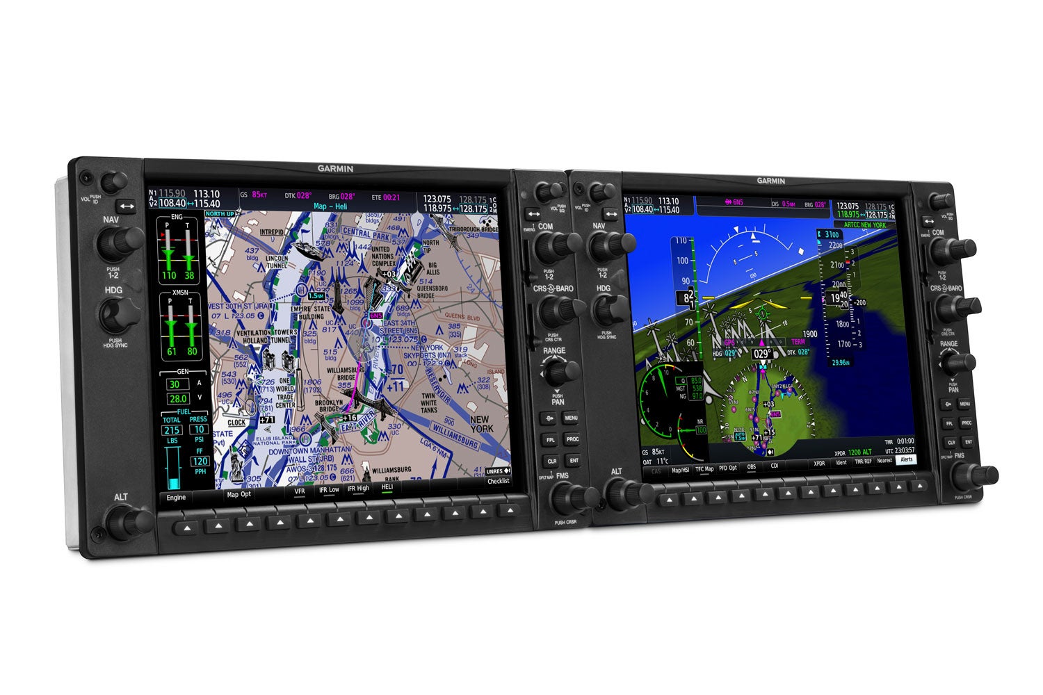
The Bell 407GXi equipped with the Garmin G1000H NXi has obtained IFR certification, Garmin announced on September 5, 2019. A variety of advanced features makes the G1000H NXi optimized for use in helicopter operations, and the certification paves the way for the aircraft’s use in certain military applications.
Garmin G1000H NXi Bell 407GXi Obtains IFR Certification
Key Takeaways:
- The Bell 407GXi, featuring the Garmin G1000H NXi, has obtained IFR certification, announced on September 5, 2019.
- This certification paves the way for the aircraft's use in military applications, specifically addressing the U.S. Navy Advanced Helicopter Training System competition, and benefits single-engine helicopter operators.
- The G1000H NXi system is optimized for helicopters with advanced features like HTAWS (Helicopter Terrain Awareness and Warning System), HSVT (Helicopter Synthetic Vision Technology), and WireAware wire-strike avoidance technology.
Key takeaways sponsored by Aviator Pro | Start Your Training ->
See a mistake? Contact us.
