













Register

Fronts

Gemini Sparkle

Key Takeaways:

  • Modern meteorology, established by the Norwegian School, identifies frontal systems (thermal gradients) as the primary drivers of weather, a shift from earlier focus on pressure systems like lows and highs.
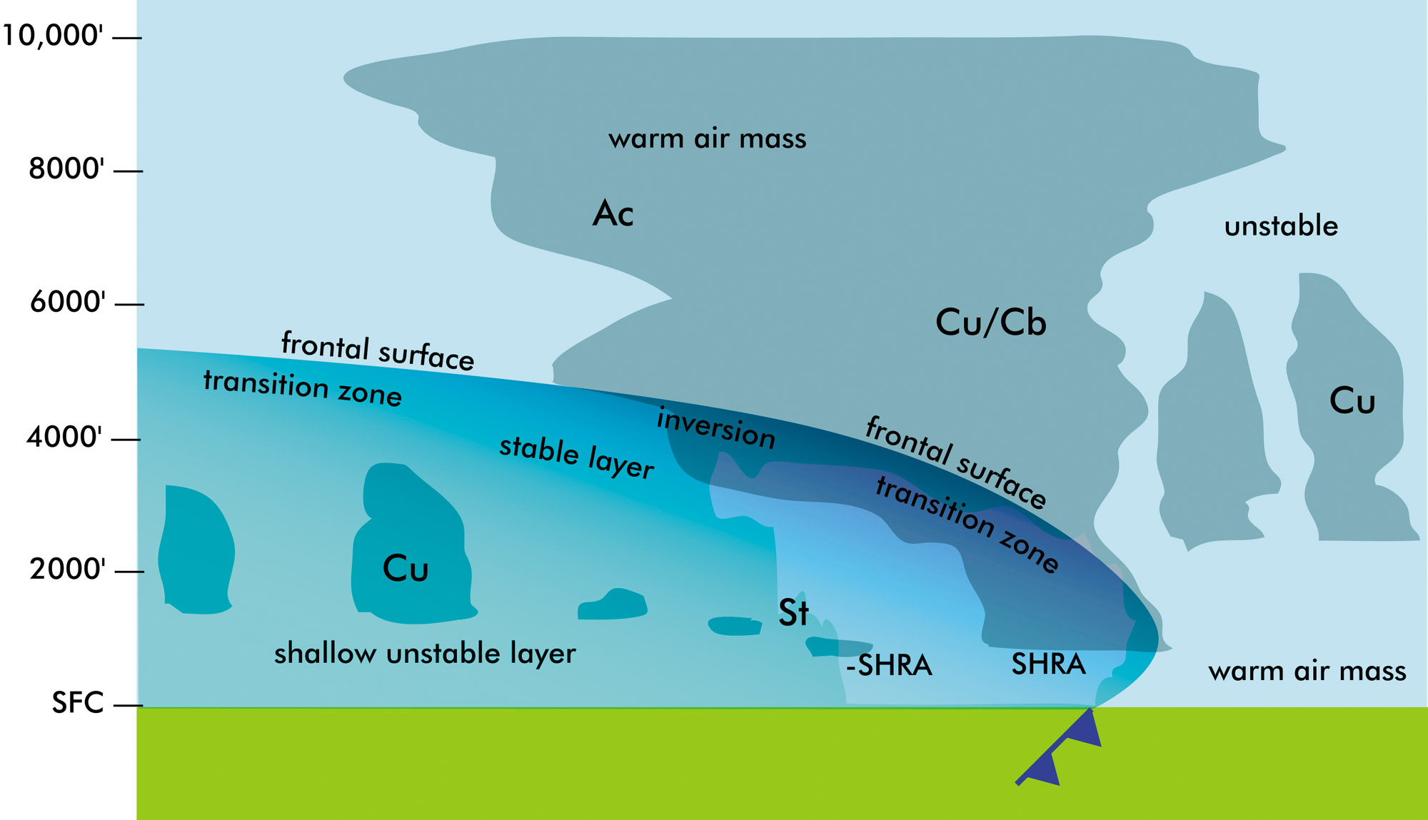
  • Various frontal types—cold, warm, stationary, and occluded—each possess distinct structures and produce specific aviation weather, including post-frontal instability, widespread fog, mixed wintry precipitation, or elevated icing risks.
  • The dryline, though a moisture boundary rather than a thermal front, is also a critical feature, particularly in the Great Plains, known for fostering storm development and severe weather due to density contrasts and convergence.
See a mistake? Contact us.

The frontal system is somewhat of an elephant in the room. We talk about the weather it produces. We point to where it’s located on a map. Many of us recognize the symbols. But we hear very little discussion about what it is exactly and why it produces weather. Now that winter is fast approaching, it’s time to address this special area of forecasting so we can better understand how it affects flight weather and conditions at your destination.

A Brief History

One of the little ironies of meteorology is the fact that almost every hobbyist, pilot, and forecasting professional knows a bit about the importance of cold fronts and warm fronts. We see them on the Weather Channel and they appear on flight-weather briefing panels. 

Ready to Sell Your Aircraft?

List your airplane on AircraftForSale.com and reach qualified buyers.

List Your Aircraft
AircraftForSale Logo | FLYING Logo
Pilot in aircraft
Sign-up for newsletters & special offers!

Get the latest stories & special offers delivered directly to your inbox.

SUBSCRIBE
