











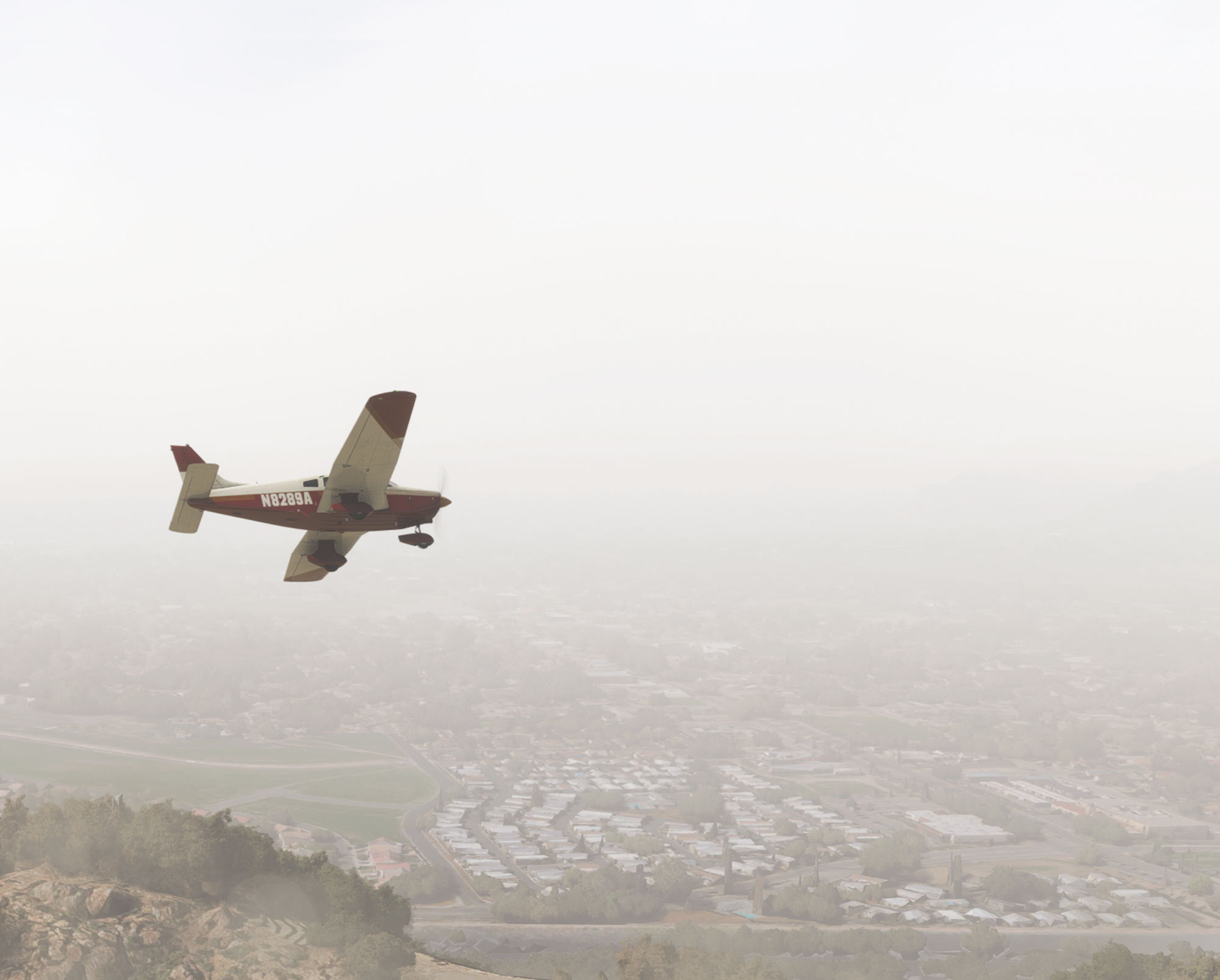


This Sim Challenge will keep you busy with four complex approaches in close proximity. Choose any plane you want. Brief each procedure carefully as each contains both subtle and not-so-subtle traps and gotchas. Use an FAA-approved sim and you’ll be 4/6 of the way to resetting currency.
Position the plane at Bracket Field (KPOC). Set surface wind to 310 at 10 knots, and another layer at 4000 feet of 030 at 40. That’s a significant wind gradient that you’ll have to anticipate and manage as you fly these approaches. We recommend hand flying to make things even more, um, interesting.

For each approach in this challenge, you’ll reset the ceiling and visibility to just above minimums. Each approach will terminate with a touch-and-go before joining the missed approach procedure. The first will be the VOR or GPS-A at Corona Muni (KAJO), so set ceilings to 1700 MSL (about 1200 AGL), and visibility to 1½ SM.
Use the ODP from KPOC to climb to 5000. You’ll need to use GPS, as the POM VOR is out of service:
POC ODP BRACKETT FLD, LA VERNE, CA. TAKEOFF MINIMUMS AND (OBSTACLE) DEPARTURE PROCEDURES Amendment 6… DEPARTURE PROCEDURE NA EXCEPT FOR Aircraft EQUIPPED WITH SUITABLE RNAV SYSTEM WITH GPS, POM VOR OUT OF SERVICE. Expiration estimated.
Remember that for later. At PRADO, fly at least one full lap in the holding pattern before continuing.
From PRADO, fly V16 to PDZ which is the IAF for the VOR or GPS-A at KAJO. Maintain the airway MEA until established, fly that approach to a touch-and-go, and join the published missed back to PDZ.
Adjust the visibility to 1 SM and the ceiling to 900 MSL, which is 250 AGL for the next approach: the ILS 26R at Chino (KCNO). Fly the full procedure beginning with the feeder route from PDZ. Touch and go, and fly the missed back to the RAL VOR.
Next, hop over to PDZ again to join the ILS 26L back at KPOC. For this one set ceilings to 1400 MSL (350 AGL). Remember the inoperative POM VOR? That comes back into play here, too:
POC Instrument Approach Procedure BRACKETT FLD, LA VERNE, CA. ILS Runway 26L, Amendment 4… LOC Runway 26L, Amendment 1… MISSED APPROACH: CLIMB TO 2100 THEN CLIMBING LEFT TURN TO 4000 DIRECT PDZ VORTAC AND HOLD, POM VOR OUT OF SERVICE. Expiration estimated.
At PDZ, set visibility to the appropriate minimums for the last approach in this Challenge: the RNAV-A at Flabob (KRIR). Fly direct JASER to begin the approach, and make it a full stop.
Each procedure in this exercise has one or two key gotchas. After flying the challenge, come back here and see if any of them gotcha.

KPOC ODP
There’s a significant climb gradient required for Runways 26L and 26R, but only for the first 400 feet and you had a decent headwind component to help. If that was a problem, you could depart in the opposite direction with a bit of tailwind component and only the standard 200 feet per NM requirement.
OBS mode is one way to fly the 164 radial to PRADO, but a much simpler method would be defining a leg between POM and PRADO. You had a significant tailwind on the way to PRADO, and for the outbound leg of the hold. Depending on what data connects to your GPS, it may not account for the tailwind automatically even if you created a holding pattern. Would ATC care about a sloppy holding pattern? Maybe, given the congested airspace. In reality, you’d likely be vectored once in radar contact.
KAJO VOR or GPS-A
This is a deceptively steep approach. From 5000 MSL you needed to lose 1900 feet in the course reversal. Figure about three minutes for the hold entry (roughly one minute outbound, 1 minute turn, and one minute inbound, give or take wind effects), and you needed a bit more than 600 FPM descent. Once reaching PDZ, hopefully you didn’t overlook the 20-degree course change.
The final segment required 1440 feet of altitude loss in 3.6 NM, or 400 feet per NM. But if you flew all the way to the MAP, you found yourself over the large apron south of the Runway 25 threshold. That’s perfect for a right downwind for Runway 7 (You did see that it’s right traffic, didn’t you?), but that’s a downwind landing. Or it’d be a jog back to join Runway 25 upwind and a full left traffic pattern back to Runway 25. Difficult and disorienting in low visibility. (And maneuvering in the published patterns on the south side of the airport is regulatory.)
To reach MDA a mile before the MAP, you’d have needed 553 feet per NM. That’s 830 FPM at 90 knots groundspeed or 1106 FPM at 120 knots. If you didn’t brief that descent rate and your plan for landing, this approach probably wasn’t successful.
After the touch-and-go you were far below the protection of the missed approach procedure. Your best bet would have been to climb in the left traffic pattern and join the missed from the upwind leg. Of course, you shouldn’t plan a touch-and-go in conditions like this in real life. You’d go missed from the MAP/MDA, or land and get a new clearance instead.
KCNO ILS 26R
This one has another awkward bend after the HILPT. If you rely on your GPS to auto-switch the CDI from GPS to VLOC, it may not have happened until the FAF was the active waypoint, after LINDN. That’s a problem for two reasons.
First, the current wording of the AIM still requires that localizer-based courses are navigated using the actual localizer, not GPS. Technically, as soon as you were inbound after the HILPT, you were on a localizer course.
Second, you’d really prefer to become established on the glideslope as soon as possible and make one continuous descent. The glideslope here is designed to do that, but it’s possible a hot day could cause the altimeter to indicate lower than 3000 at LINDN on glideslope. Maybe that 3000-foot restriction is used for traffic separation (based on barometric altitude) in SoCal’s congested airspace. This could get you a phone number to call if you bust it.
Then there’s the landing. Did you land on the correct runway? Are you sure? There’s a decent chance the first runway you saw was the close parallel 26L, whose threshold is further east than the shorter 26R. It would be an easy mistake to make, especially if you were just a bit left of course. The key here is to carefully brief what you expect to see at DA, including the adjacent runway, and be certain to positively identify the correct surface before continuing.
KPOC ILS 26L
This looks like a garden-variety ILS. It’s not. The key gotcha here is the exceptionally steep (for an ILS) descent angle of 3.92 degrees. If you normally fly an ILS at 90 knots, for example, this glideslope would require 640 FPM. That’s about 160 FPM more than usual, which doesn’t sound like much, but this is a busy moment where you’re transitioning to the glideslope, completing a pre-landing checklist, and checking in with the tower. The extra work of chasing a glideslope is a setup for failure. A good approach briefing should include the need for a steeper descent.
The initial tailwind component compounds the issue and the fact that the wind constantly shifted and changed throughout the approach added to the challenge.
The landing involved another close parallel configuration. This time, the right crosswind component meant the runway that showed up in the center of the windscreen was the wrong one—26R. A rote, by-the-numbers approach briefing won’t cut it here. Brief the specific items you expect to see at DA: A runway with a displaced threshold, a PAPI on the left, a parallel taxiway left, and another runway to the right.
Finally, with the POM VOR out of service, the NOTAM described an alternate missed approach procedure. The first two steps (climb to 2100, then climbing left turn) are the same, but the left turn is to the PDZ VOR to hold. The NOTAM doesn’t describe the hold, but the chart depicts an alternate missed approach hold for just this situation.
Before starting the approach, you (hopefully) programmed the new procedure in the GPS flight plan by deleting PRADO, adding PDZ (and creating the holding pattern, if your navigator allows). In reality, SoCal Approach wouldn’t let you get far on the missed before offering vectors and asking your intentions. But this is a skills exercise.
KRIR RNAV-A
This approach combined some of the gotchas of the previous procedures. Hopefully, you didn’t overlook the bend at the FAF, and briefed an appropriate descent rate to arrive at MDA in time to enter the pattern and land.
Instrument pilots may not think to look at the Chart Supplement for traffic pattern details, but here they’re make-or-break. It’s left traffic for Runway 24—with a 700-foot hill in the downwind. The chart supplement describes a 700 AGL daytime pattern that stays inside of the mountain, and a 1000 AGL nighttime pattern that goes around it. You must keep the runway in sight at all times during the circle, so going around the mountain is a non-starter (both for regulatory and sanity reasons). That leaves the close, low pattern, but even the Category A minimum is 400 feet above that—presumably because of the mountain. The bottom line is that you’re on your own as soon as you descend below MDA, and you’d better be certain it’s going to work.
Jeff Van West is the one who writes the short bio blurb at the bottom of these articles. That’s because Ryan Koch is really the brains of this operation and Jeff needs to feel useful. That happens with age.


