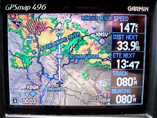
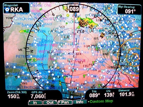
Having decided I couldn't go direct (along the airway) I opted to skirt the storm to the north by going to RKA VOR and then direct.Photos By Tom Benenson
Key Takeaways:
A pilot encountered an unexpected storm mid-flight, necessitating continuous adjustments to the flight path.
The pilot relied on real-time weather data from XM Weather, Nexrad, and Garmin avionics to make informed decisions about storm avoidance.
Despite coordinating with air traffic control and attempting several deviations, the pilot ultimately had to penetrate a narrow part of the storm line, experiencing heavy rain and moderate turbulence.
The experience underscores that flight planning and risk assessment are dynamic processes that continue from takeoff through the entire duration of a flight.
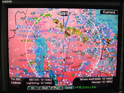
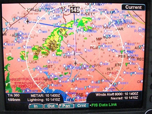
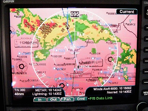
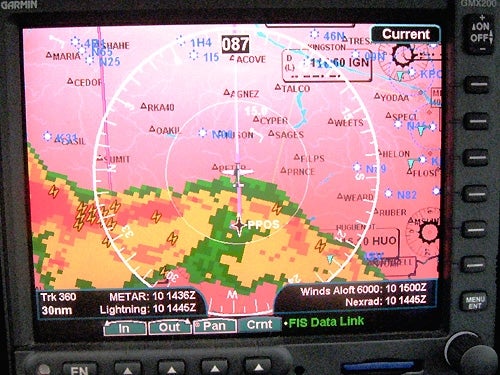
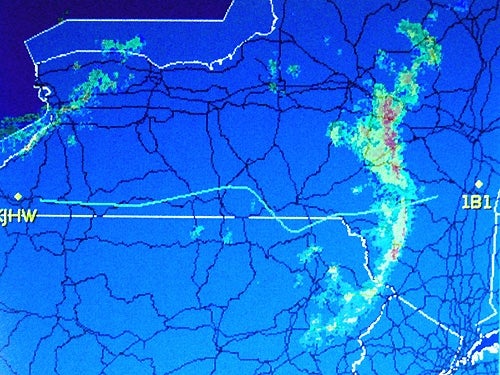
As I headed for RKA it became obvious that the storm would beat me to the VOR.From the XM Weather Nexrad and the animation on the Garmin 496, it appeared a turn to the southeast would let the storm move northeast and give me a clear path.**The controller suggested I fly direct to DNY (Delancy) VOR and then amended the clearance to Direct HNK (Hancock) direct DNY, which really didn’t mean a change in heading. For the moment, according to the 496, the course looked reasonable?**While heading toward DNY, the XM display on the GMX 200 showed lightning strikes at the VOR. A course of about 095 looked better since the storm was moving to the northeast. The controller told me to turn to the northeast. I looked at the?The controller said, “Let’s do it this way. You’re cleared direct Columbia County. Deviate as necessary. Have a safe flight!” As I penetrated the narrow storm line there was heavy rain and moderate turbulence.**The map of my flight on Flightaware.com showed the changes I made as the flight progressed in response to the changing situation. Flight planning — and risk assessment — doesn’t end at takeoff, but continues throughout a flight.
CREATE A FREE ACCOUNT
Sign up to keep reading
Create a free account to continue. Already a member? Sign in below.
















 |
|
