Your retrospective on the VOR (“The Day The Waypoints Died,” April 2012) was of interest in a reverse sort of way. I’m one of a few horse-and-buggy types who navigate by map-reading and compass alone, using VORs occasionally as a backup to map reading as opposed to a backup for GPS. I just returned from a VFR trip in a Cessna 182 from British Columbia to San Francisco, then to Palm Springs, Lake Havasu, Las Vegas and back through eastern Nevada and Idaho, using lines drawn on two WAC charts (CF 16 and CF 18) and a protractor for heading. Does anyone still fly to see the country as displayed on a sectional—lakes, rivers, mountains and valleys? I’ve always thought that the journey, not just the destination, was half the fun.
One pilot advocates for traditional map-reading and compass navigation, valuing the challenge and independence from equipment failures, contrasting it with modern GPS reliance.
The editors express concern about the decline in VOR navigation skills and the aviation industry's heavy, potentially risky, dependence on aging GPS technology without a clear replacement.
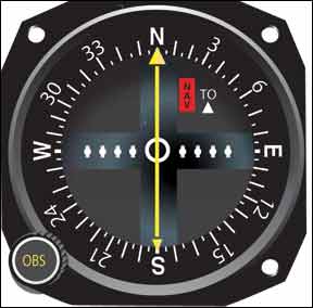
A technical error from a previous article is corrected, clarifying that VOR operates by comparing the phase relationship of two continuous signals, not time-referenced pulsed signals.
Your retrospective on the VOR (“The Day The Waypoints Died,” April 2012) was of interest in a reverse sort of way. I’m one of a few horse-and-buggy types who navigate by map-reading and compass alone, using VORs occasionally as a backup to map reading as opposed to a backup for GPS.
288
CREATE A FREE ACCOUNT
Sign up to keep reading
Create a free account to continue. Already a member? Sign in below.