











The disappearance of Malaysia Airlines Flight MH370 remains one of the greatest mysteries in aviation history, but the Australian government hopes that recent satellite image analysis will provide a breakthrough in finally determining the location of the Boeing 777-200ER.
Satellite Images Offer New Hope in Finding MH370 Crash Location

Key Takeaways:
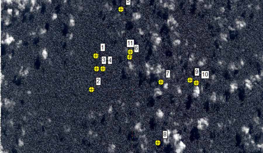
- Australian agencies have analyzed satellite images from March 2014, identifying "probably man-made" objects in the vicinity of MH370's last known trajectory.
- CSIRO's drift analysis suggests these objects can be linked to a single, most-likely location for the aircraft with unprecedented precision.
- Despite this analysis offering renewed hope, the Australian Transport Safety Bureau (ATSB) urges caution, noting the images' low resolution prevents definitive identification of the objects as MH370 debris.
Key takeaways sponsored by Aviator Pro | Start Your Training ->
See a mistake? Contact us.

