











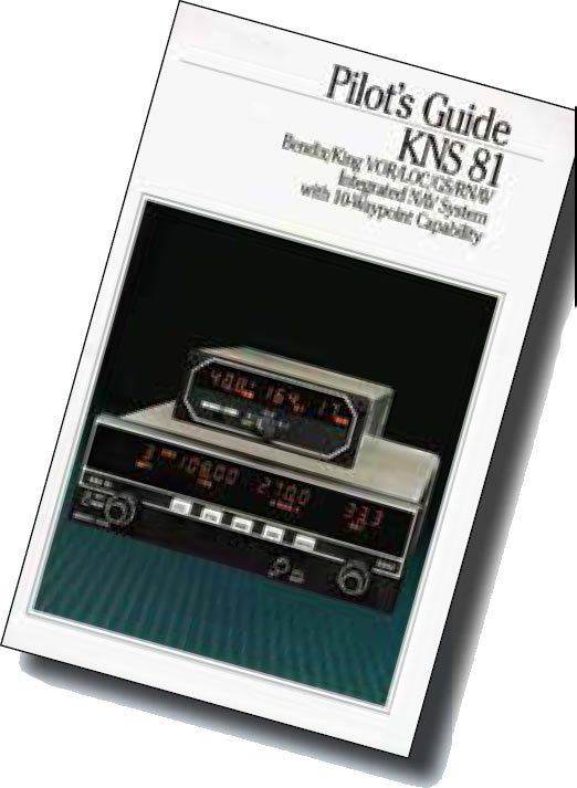



RNAV as an IFR navigator has come a long way. Early systems had a user interface little more complicated than tuning a radio. You tuned the navaid, then provided an offset of radial and distance and that phantom waypoint became a fix against which you could navigate. Those systems weren’t particularly sophisticated and required that we continue to maintain situational awareness. It was nice to read a bearing and distance in digital numbers and pinpoint your position on the (paper) chart, but that was about it.

